
The old church on this site was built in 1623.
Tralee was
destroyed in 1642.
Tralee was
destroyed again in 1691.
The baptismal font survived the destruction of Tralee town and church in 1642 and 1691.
The present church was built c.1700
[Denny, 1908].
Rev. Maurice Connor
was Rector of Tralee 1725-32.
Rev. Barry Denny
was Rector of Tralee 1741-51.
Rev. Edward Day
was Rector of Tralee 1751-55 and 1758.
Rev. John Blennerhassett
was Rector of Tralee from 1765 probably to his death in 1804.
Letitia Blennerhassett
(bapt 1780)
would have grown up in the Rectory at Tralee.
Rev. John Blennerhassett
died 1804.
Rev. James Day
was
Rector of Tralee 1805-18.
Rev. Edward Maynard Denny
was
Rector of Tralee 1818-31.
The church was
re-modelled in 1819.
The church was enlarged in the 1830s.
The old church was the E-W axis, with the altar at the E end (Denny tiles).
The new part is the N-S axis, with the altar at the S end.
Rev. Anthony Denny
was
Rector of Tralee 1831-62.
The current main entrance to the church from Ashe St is a new entrance,
opened up probably 1834.
The impressive gates are new. They were installed 1954.
[Denny, 1908]
listed the surviving monuments in the church.
Many of the Dennys of Tralee are buried in the Denny vault at the E end.

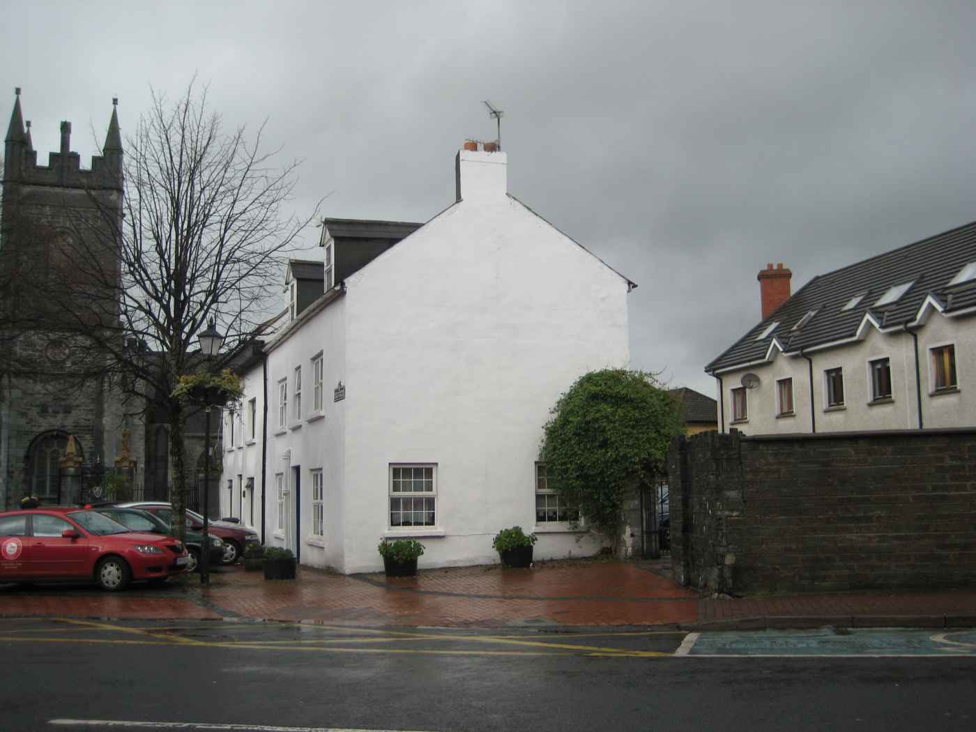
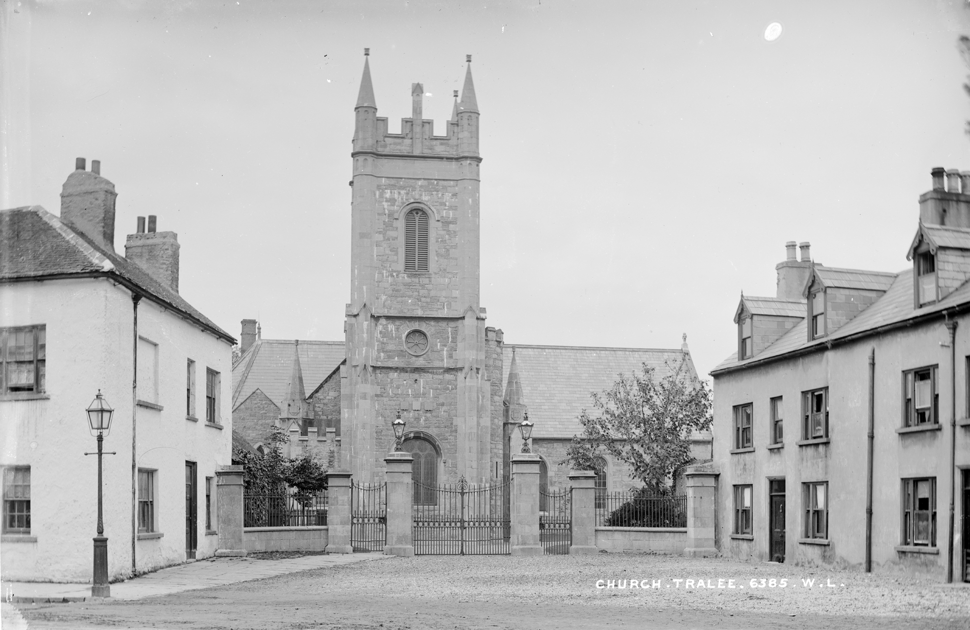
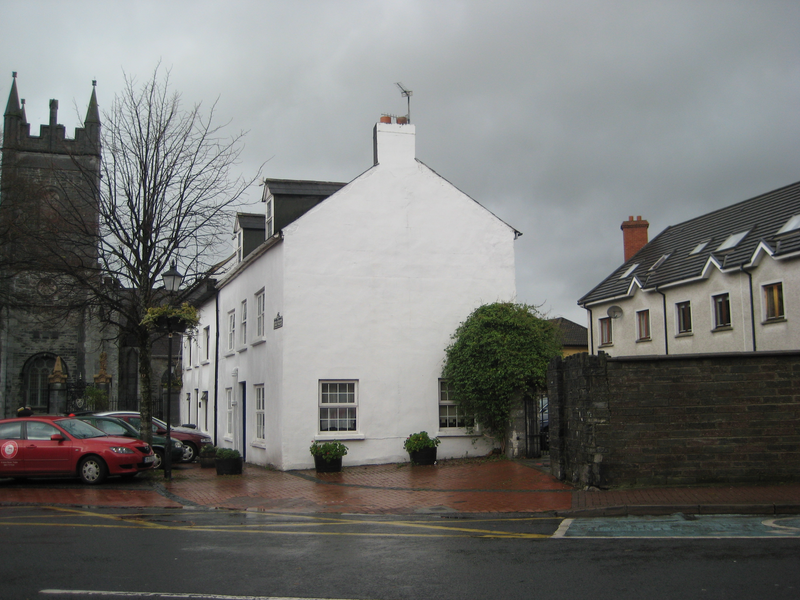
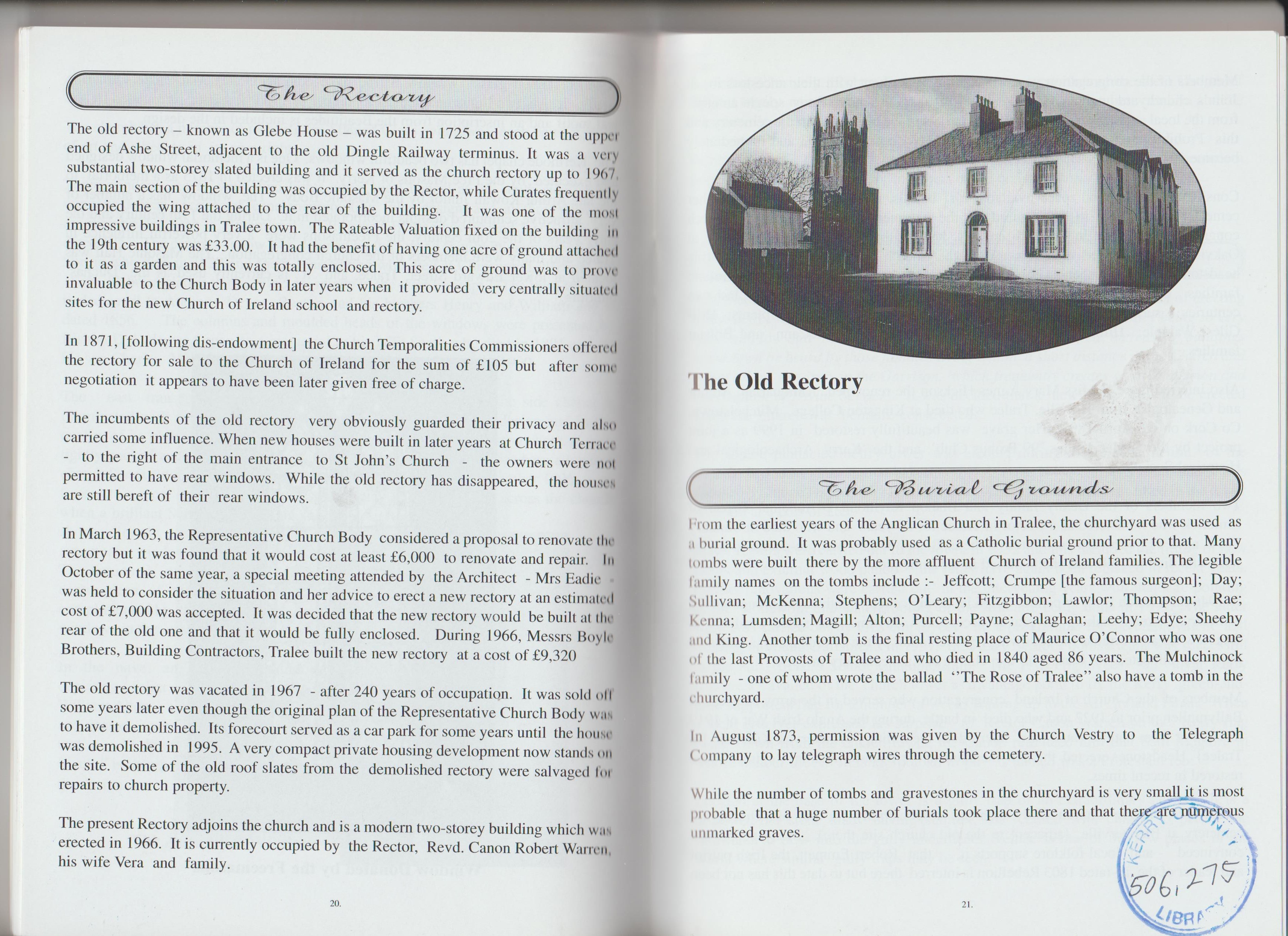
The Church of Ireland church of St.John, Ashe St, Tralee.
Click to rotate.
From
Google Street View.
Rev. James Day, Rector of Tralee 1805-18,
was reported as dying 1818
"at the Glebe House, Tralee".
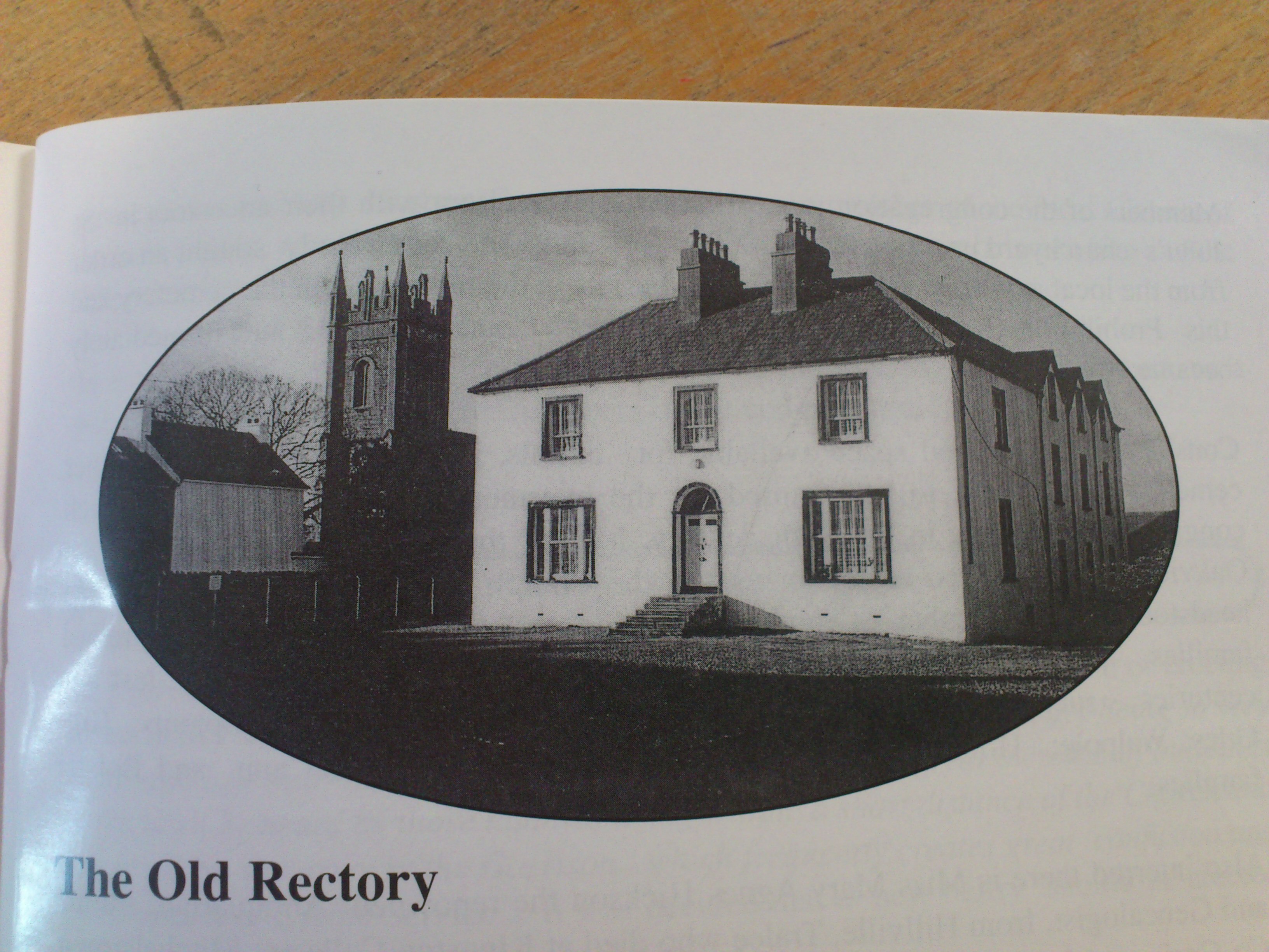
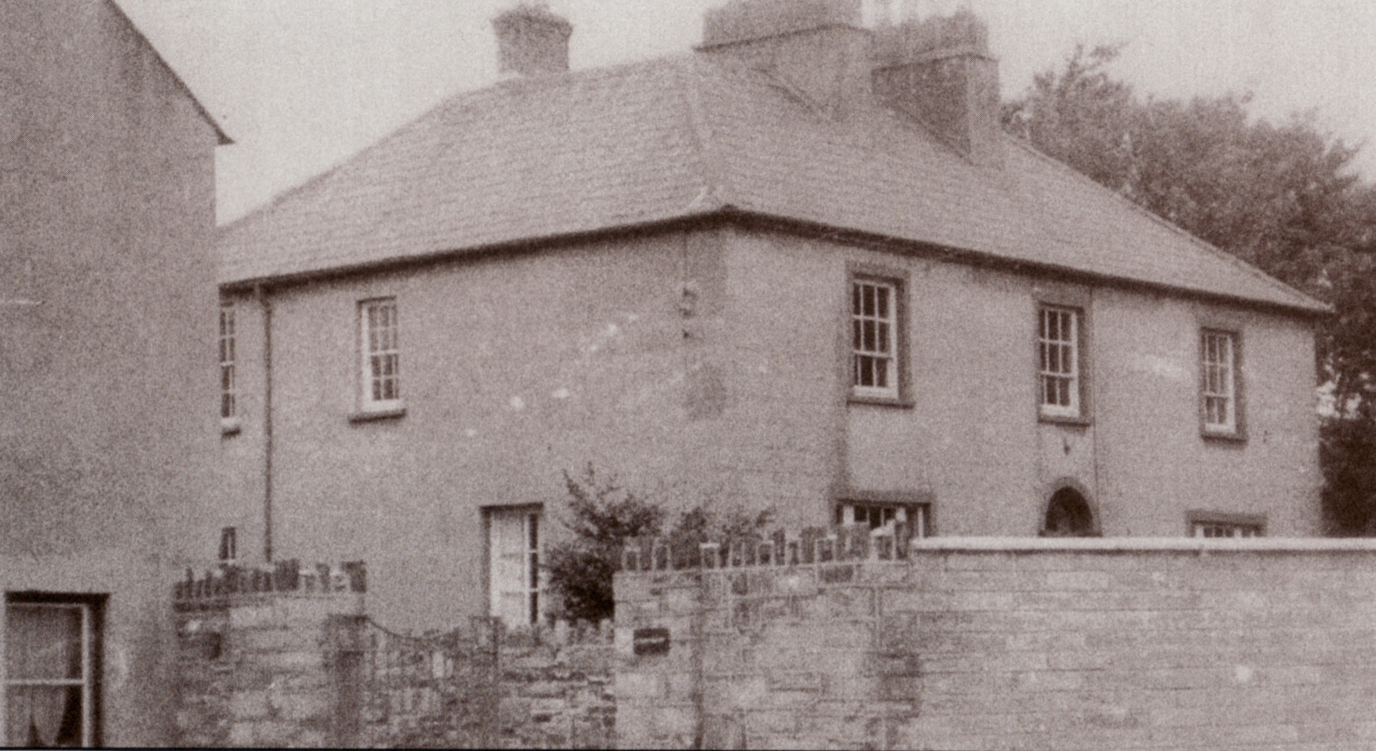
The Rectory had 1 acre of a garden.
It served as the Rectory until a new Rectory was built at the rear in 1966.
It was sold in 1967.
It was demolished 1995.
The gates survive.
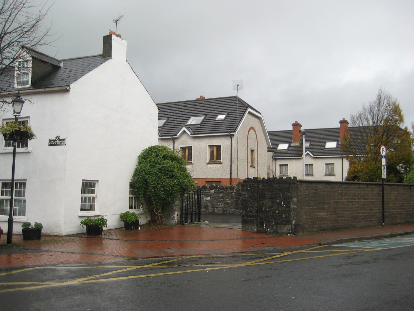
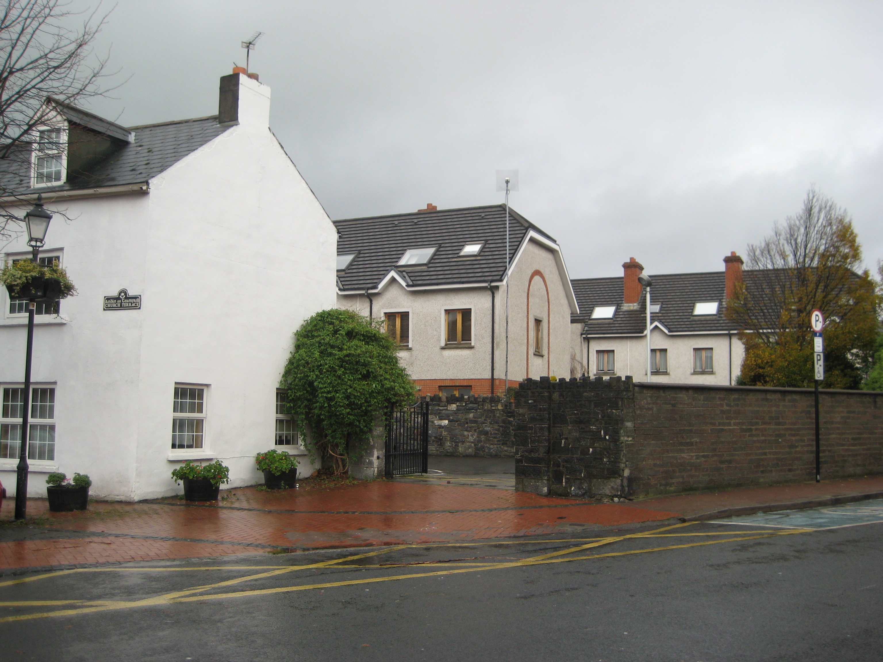
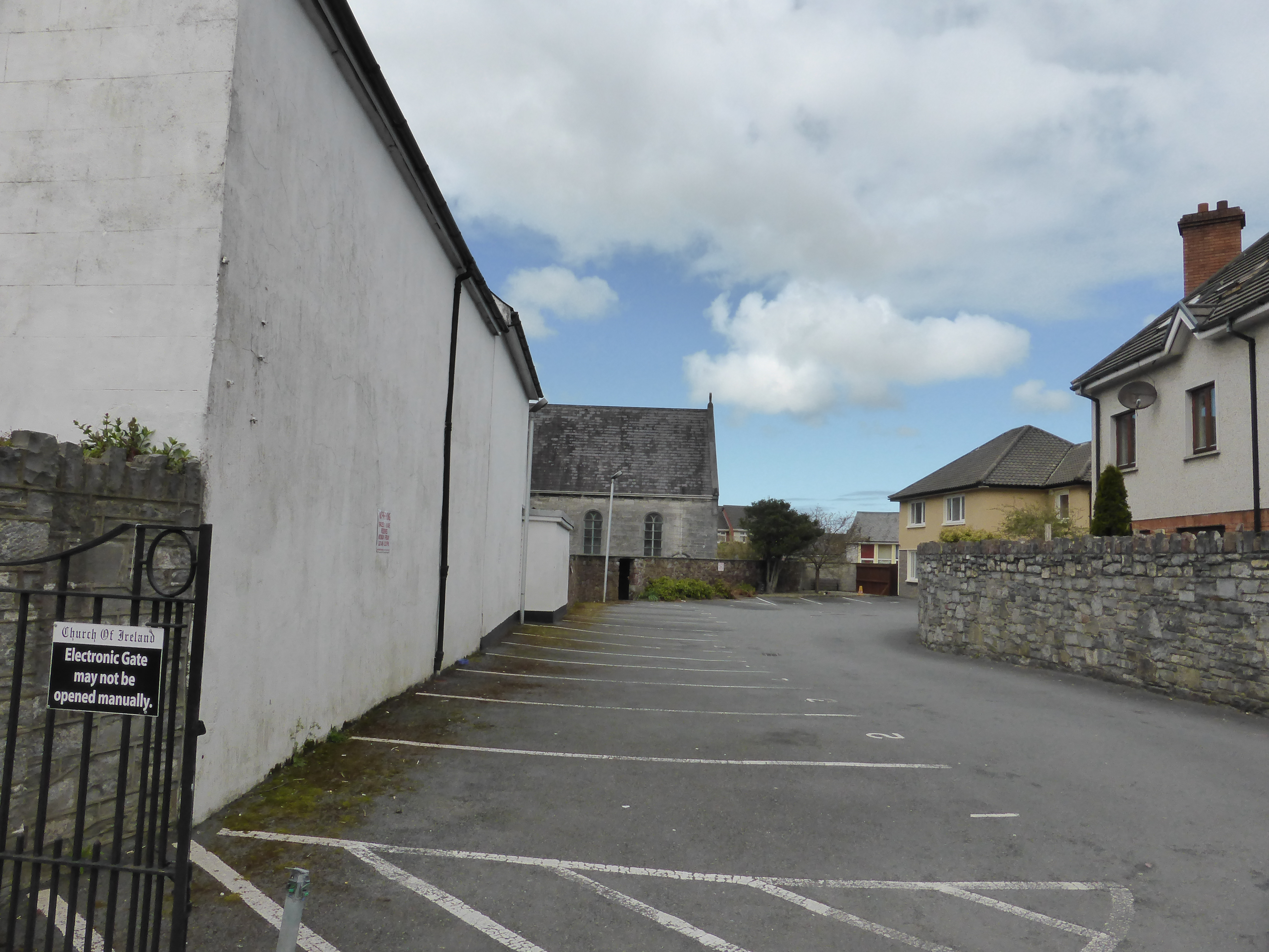
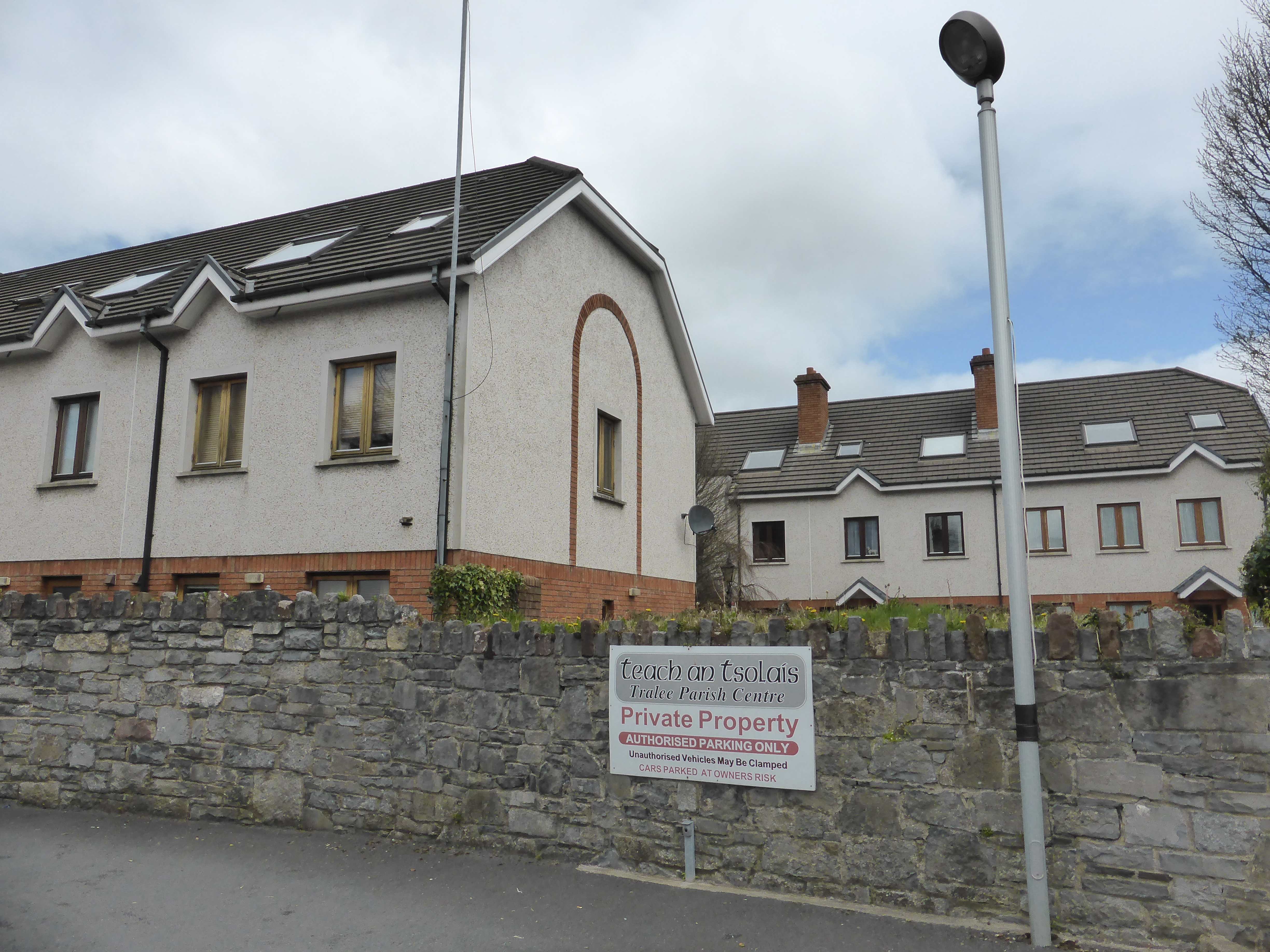
The grounds now include
St. John's Parochial School (Church of Ireland primary school),
the Parish Centre,
and the new Rectory.
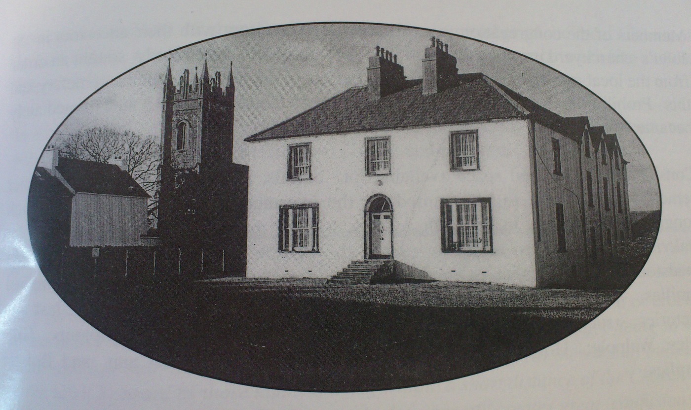
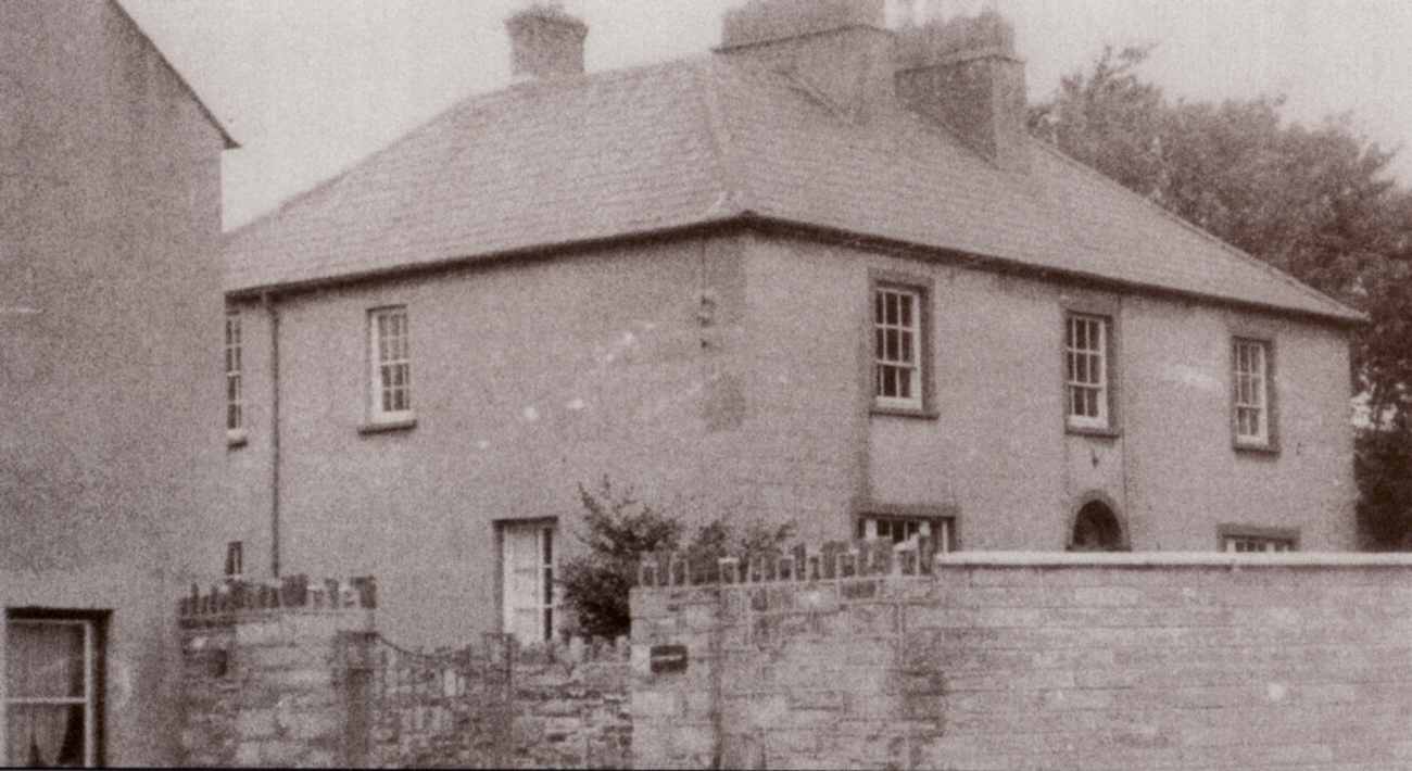
The old Rectory.
See larger
and full size.
From [McMorran and O'Keeffe, 2005].
Picture credit Russell McMorran.
Used with the kind permission of
Russell McMorran and Maurice O'Keeffe.
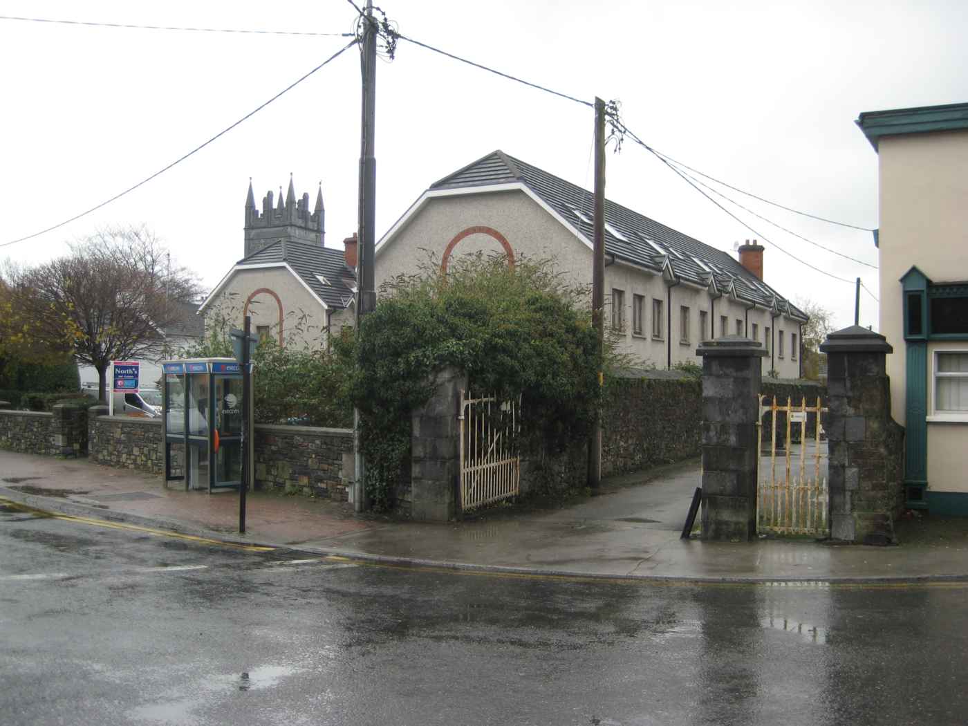
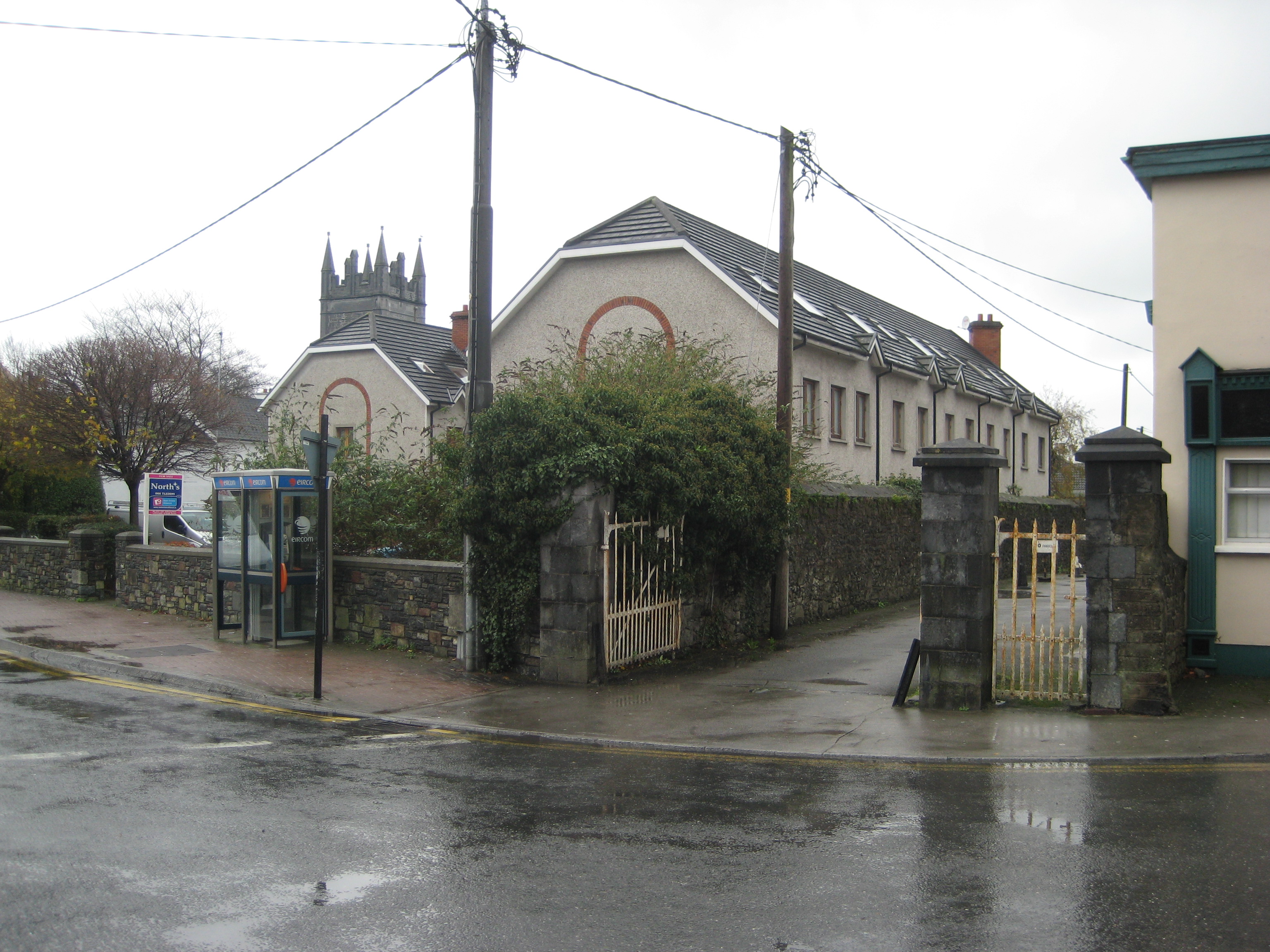
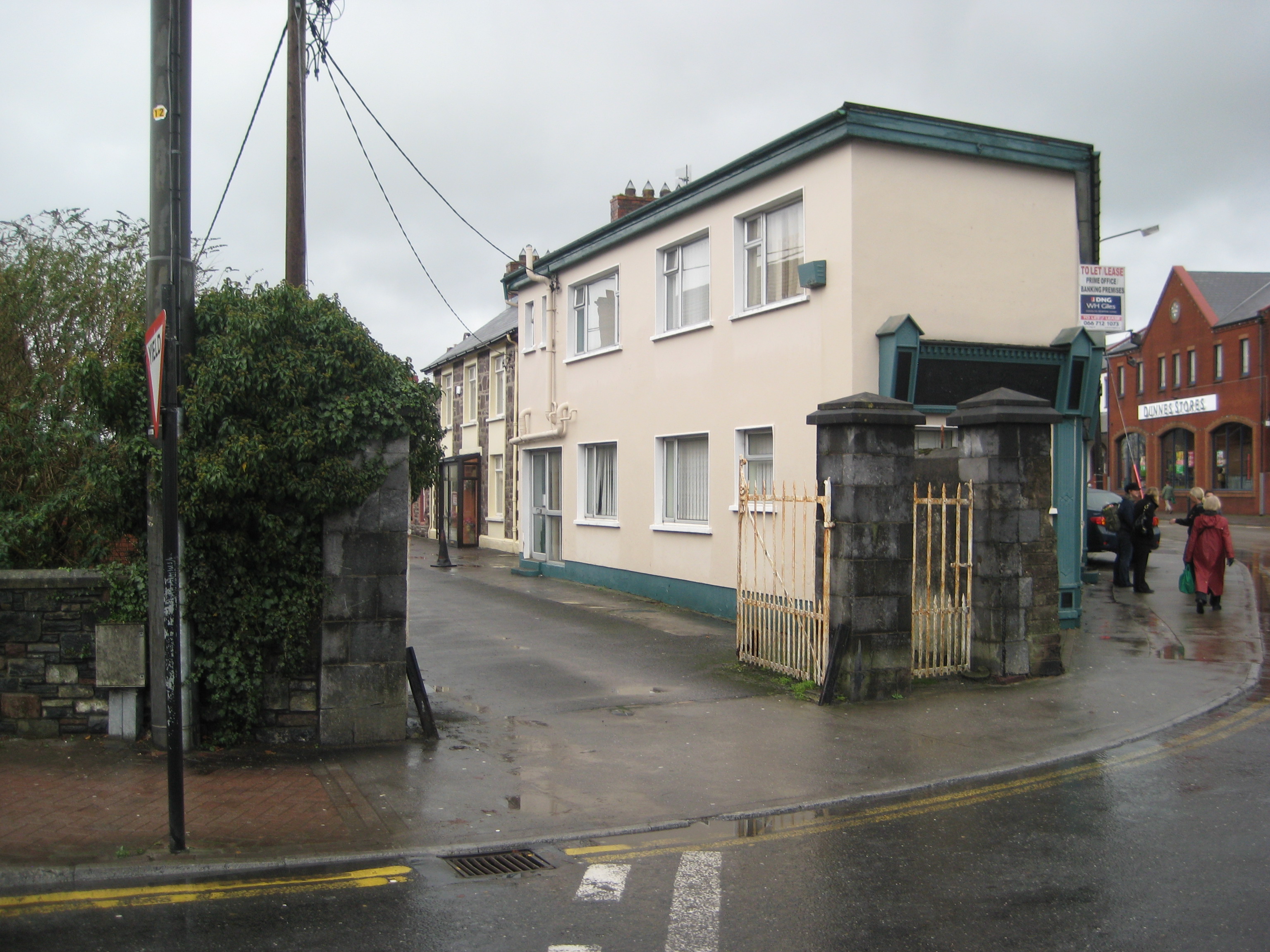
The gates into the old Rectory (now demolished).
Photo 2010.
See larger
and full size.
See
Google Street View.
The gates into the old Rectory (now demolished).
Photo 2010.
See larger
and full size.
See further to the RHS
and inside gates.

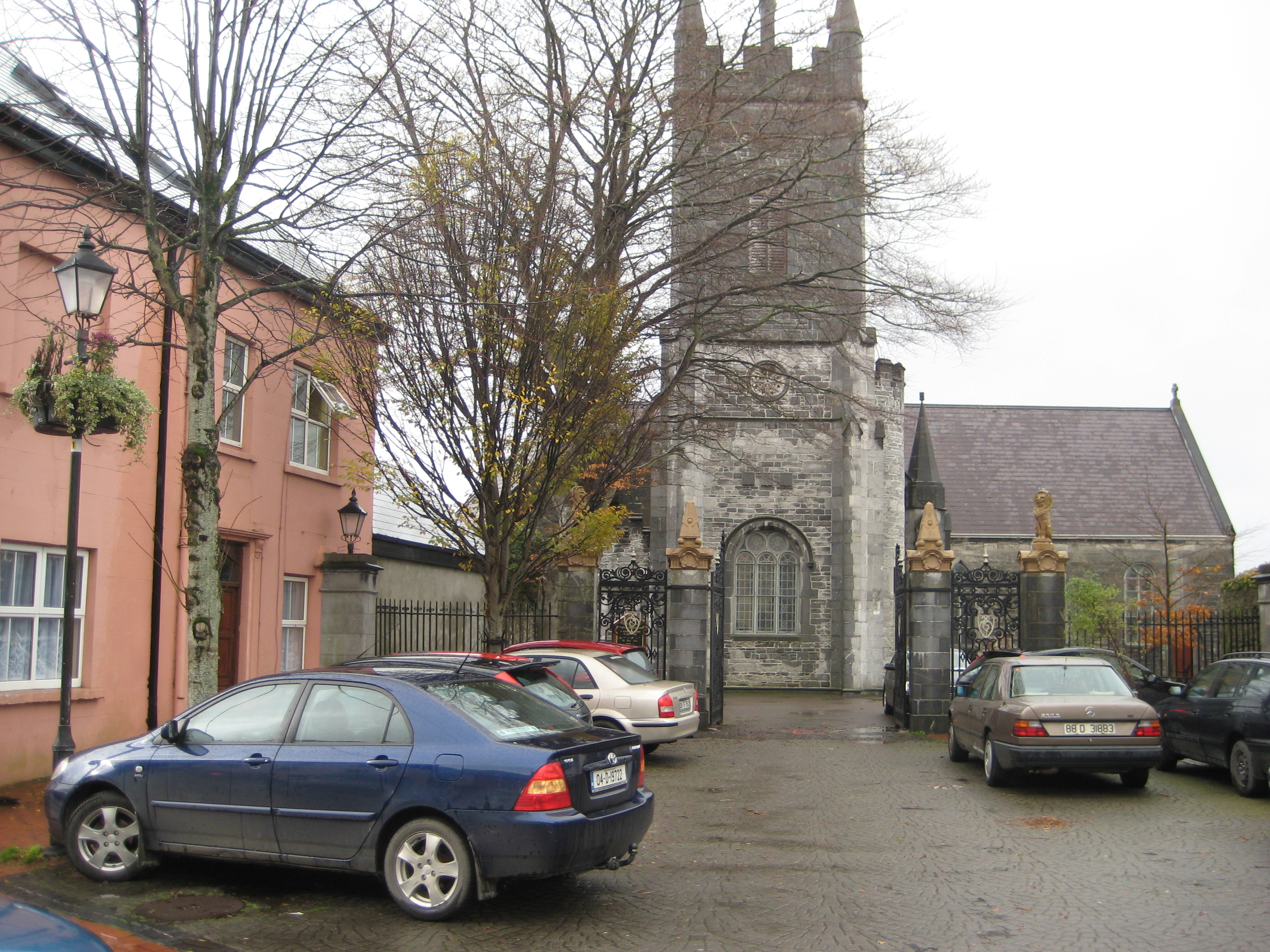
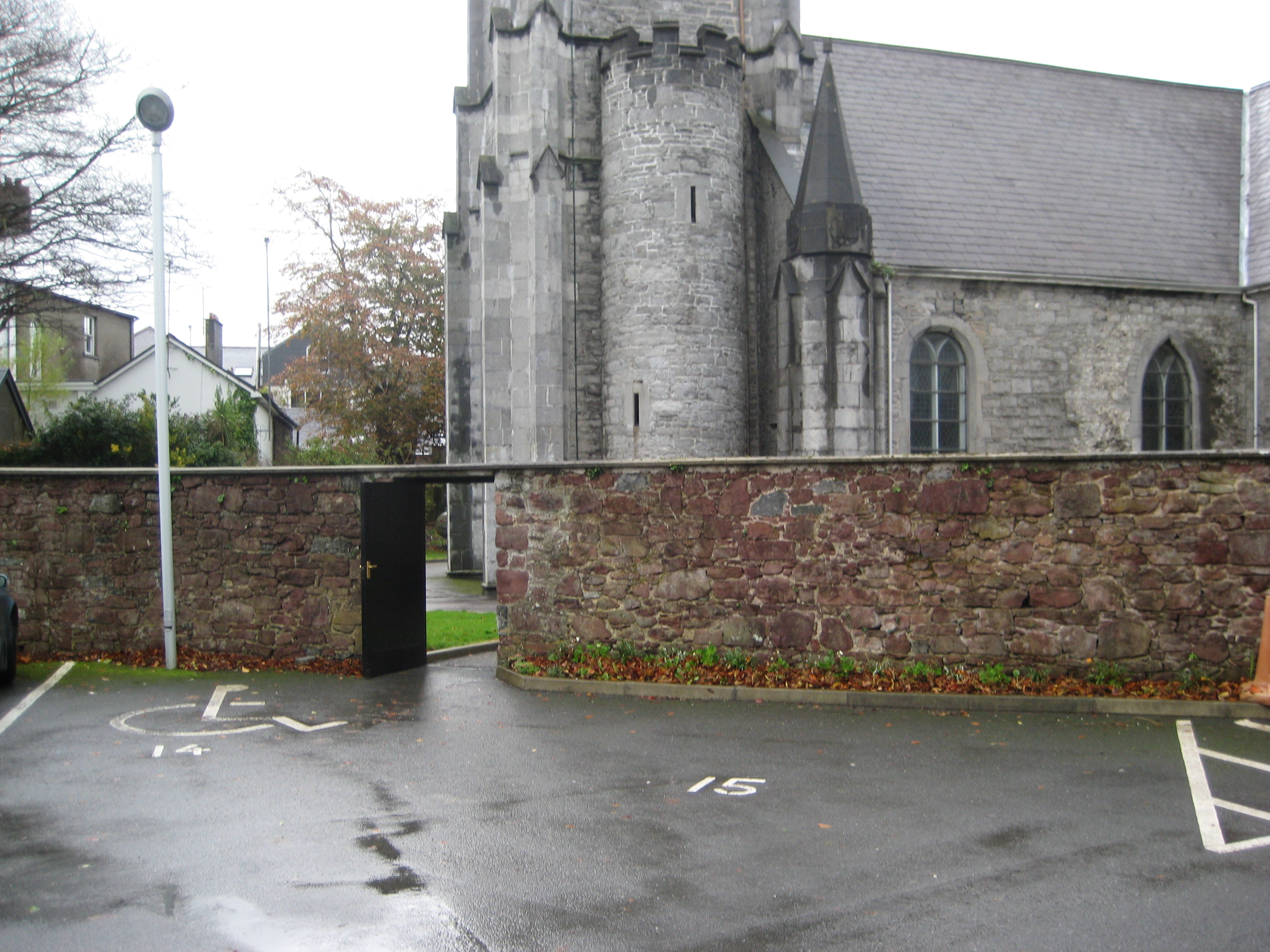
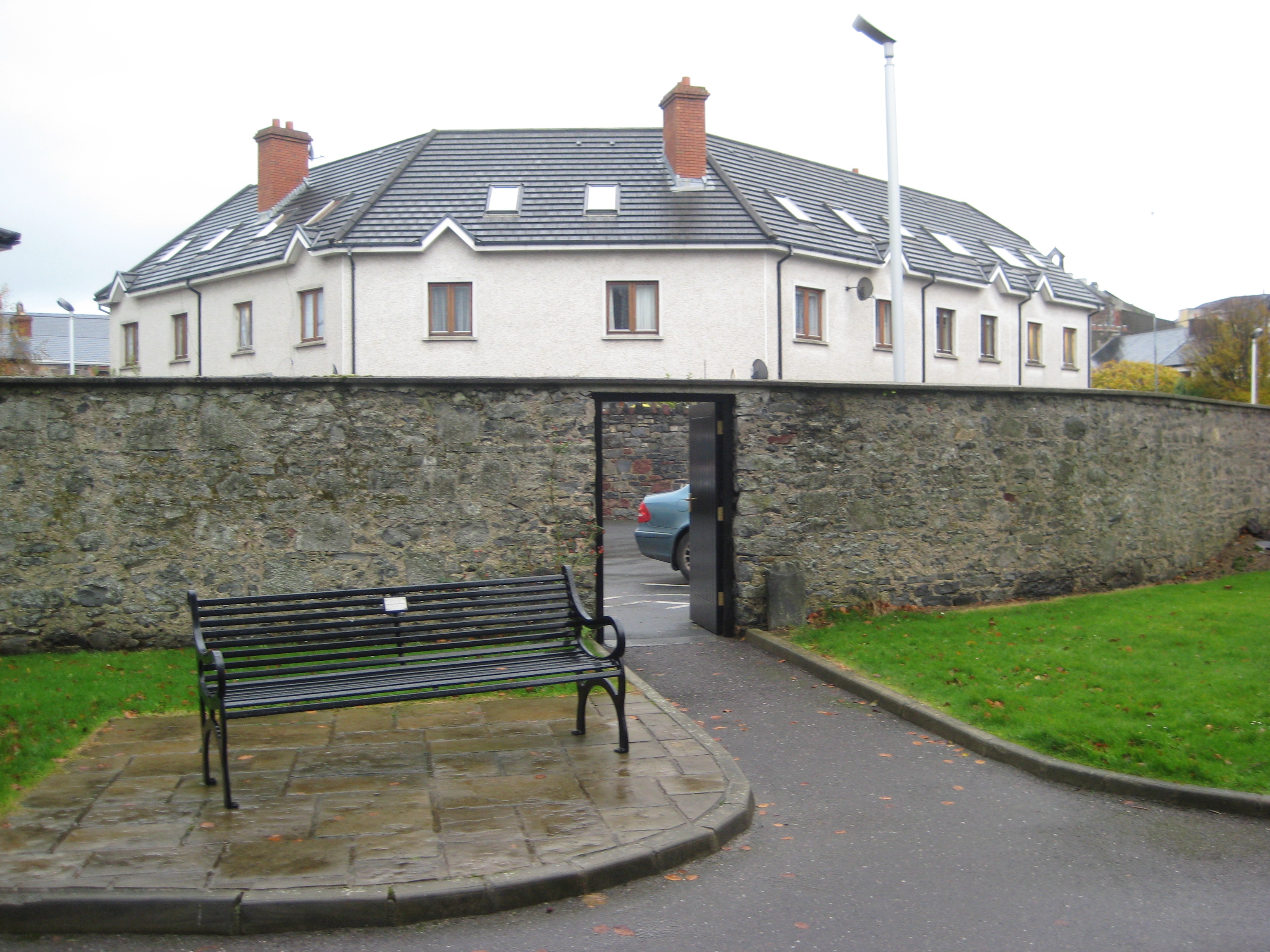
Inside the gates.
Photo 2016.
See larger
and full size.
See shot to the RHS.

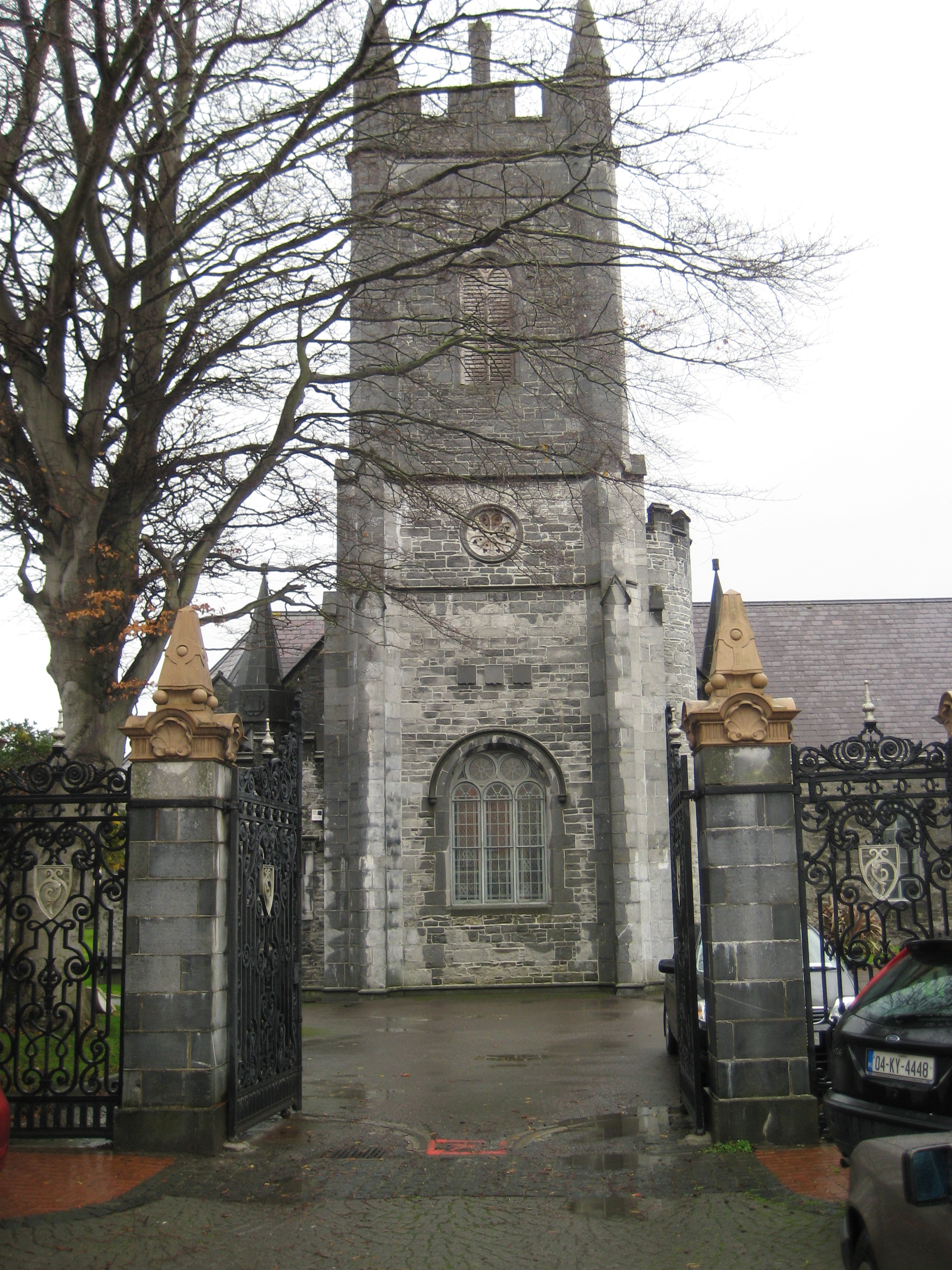
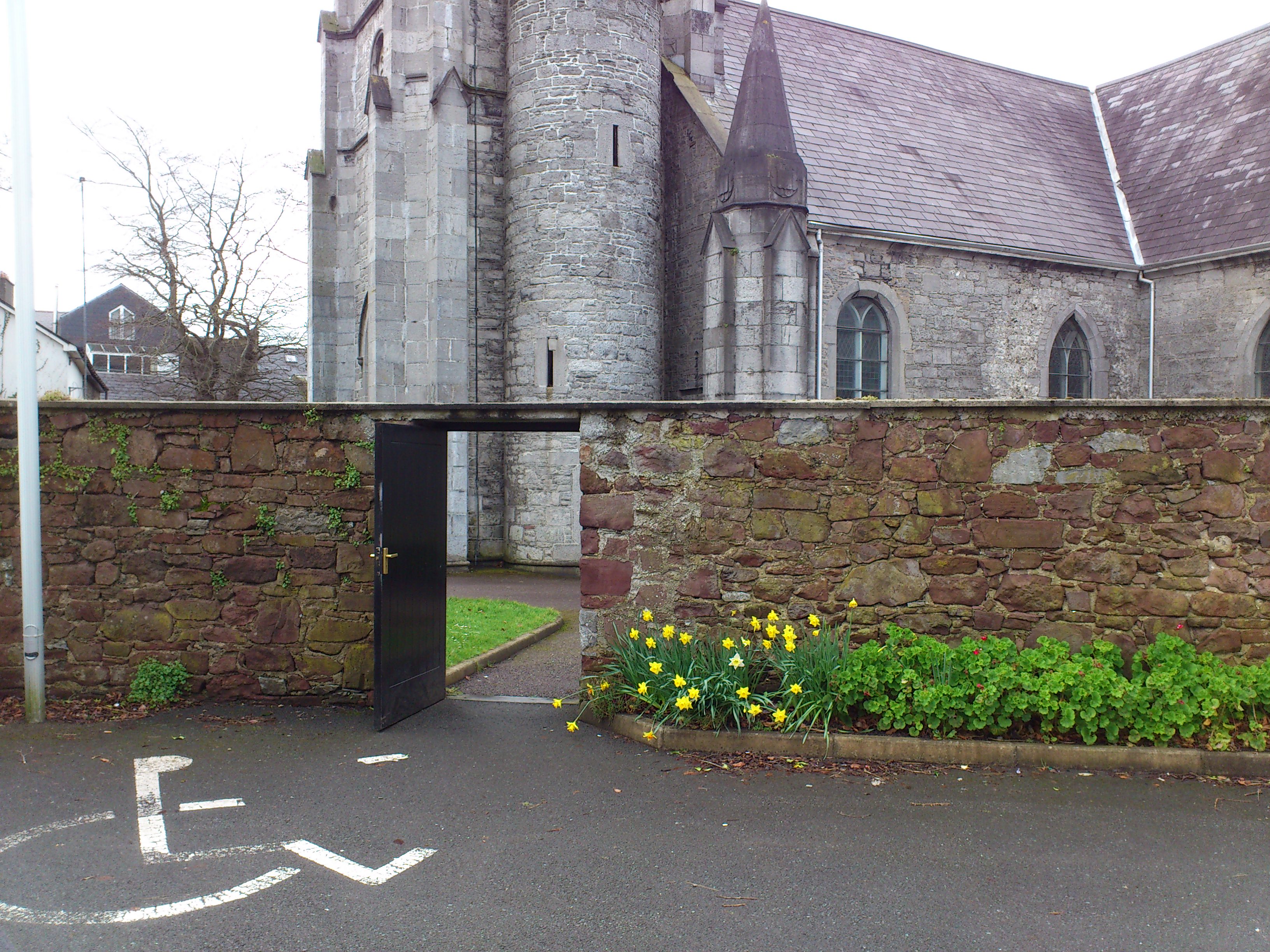
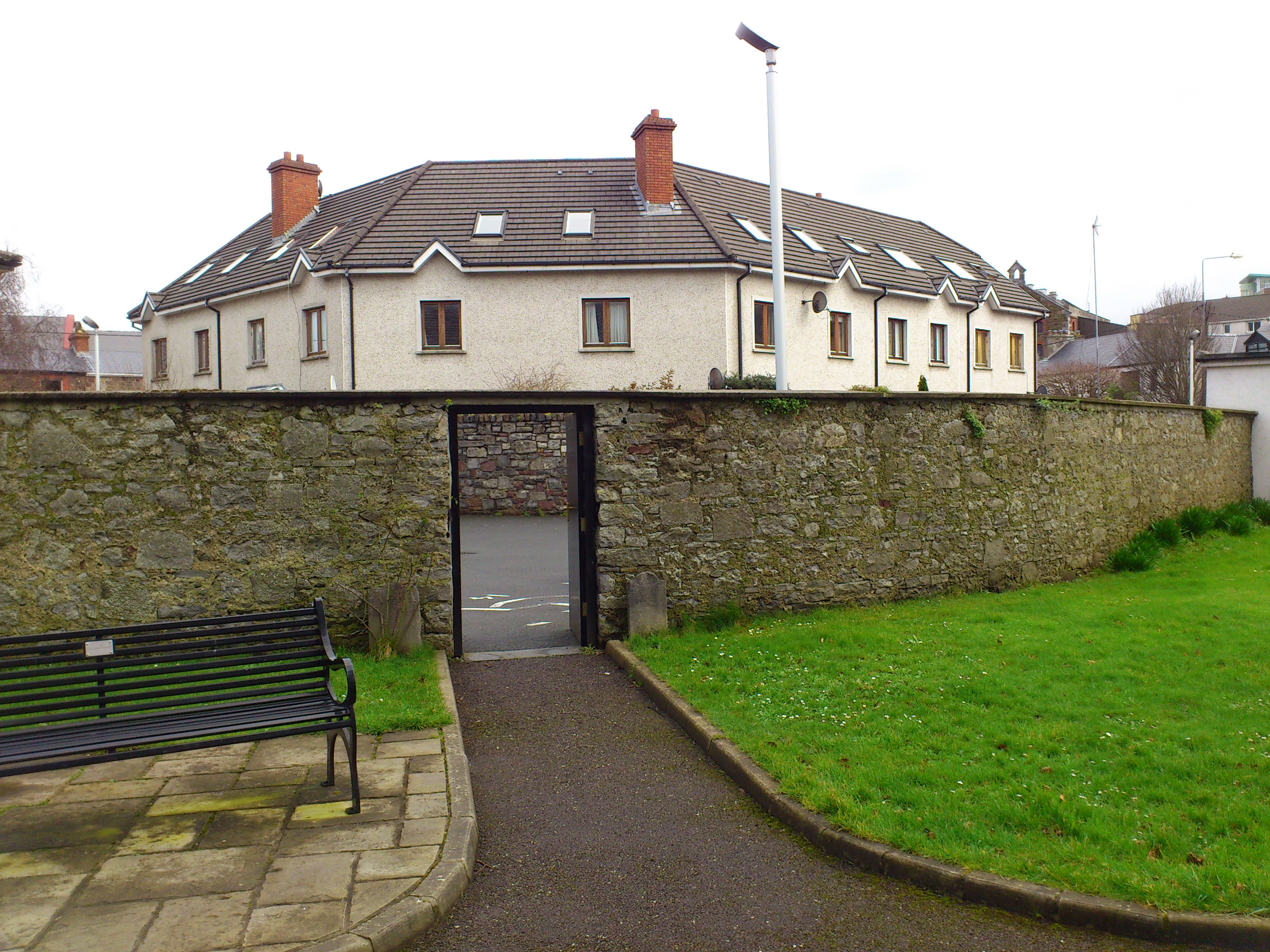
Gate from the grounds of the old Rectory into the church grounds.
Photo 2013.
See full size
and other shot.
See 2010 shot
(and wider shot).

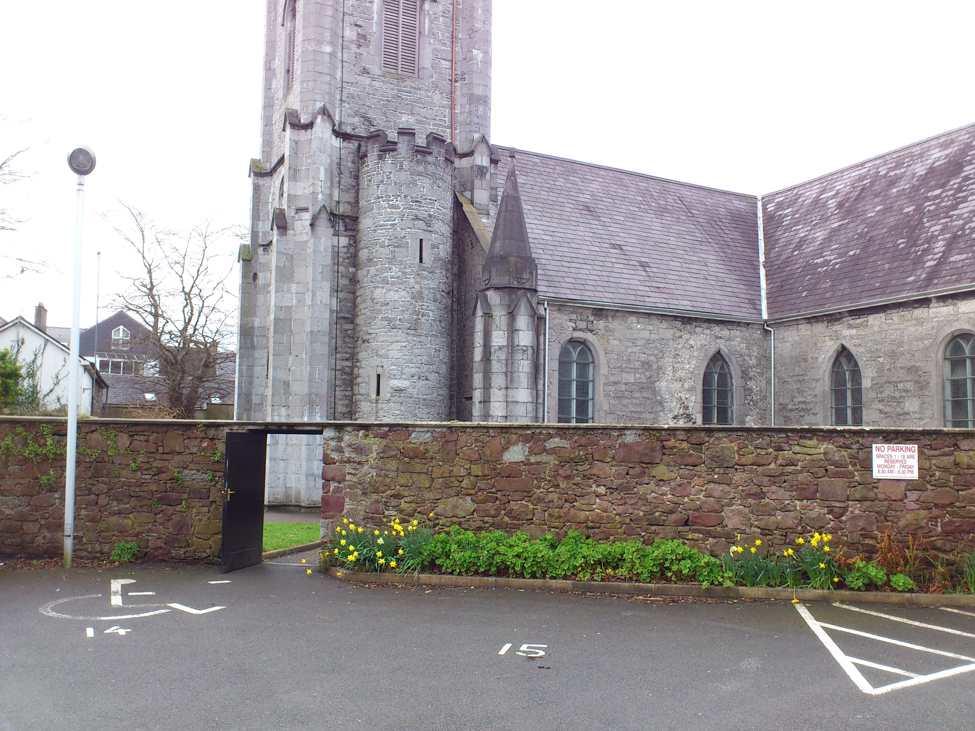
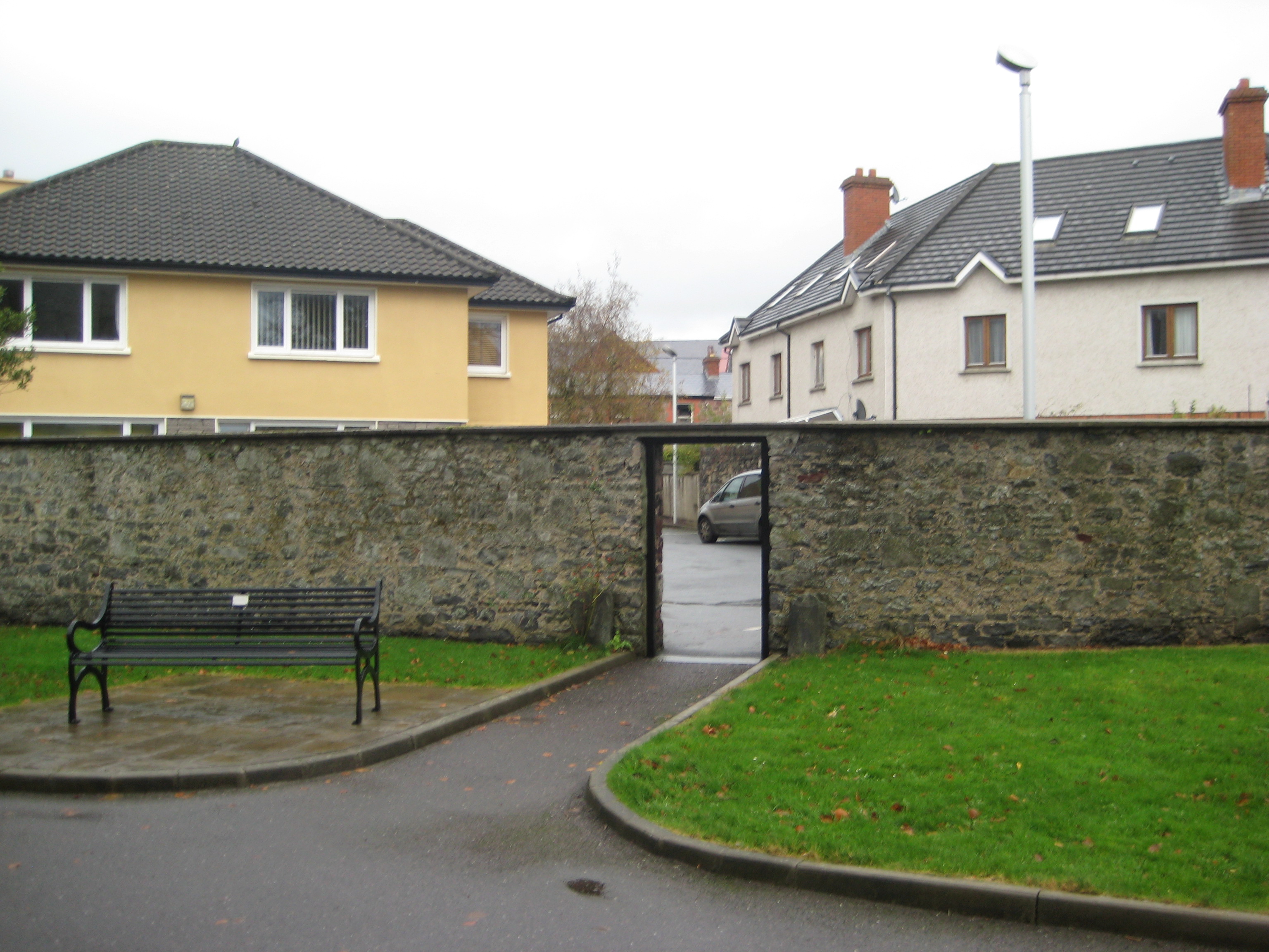
The gate from the other side (church side).
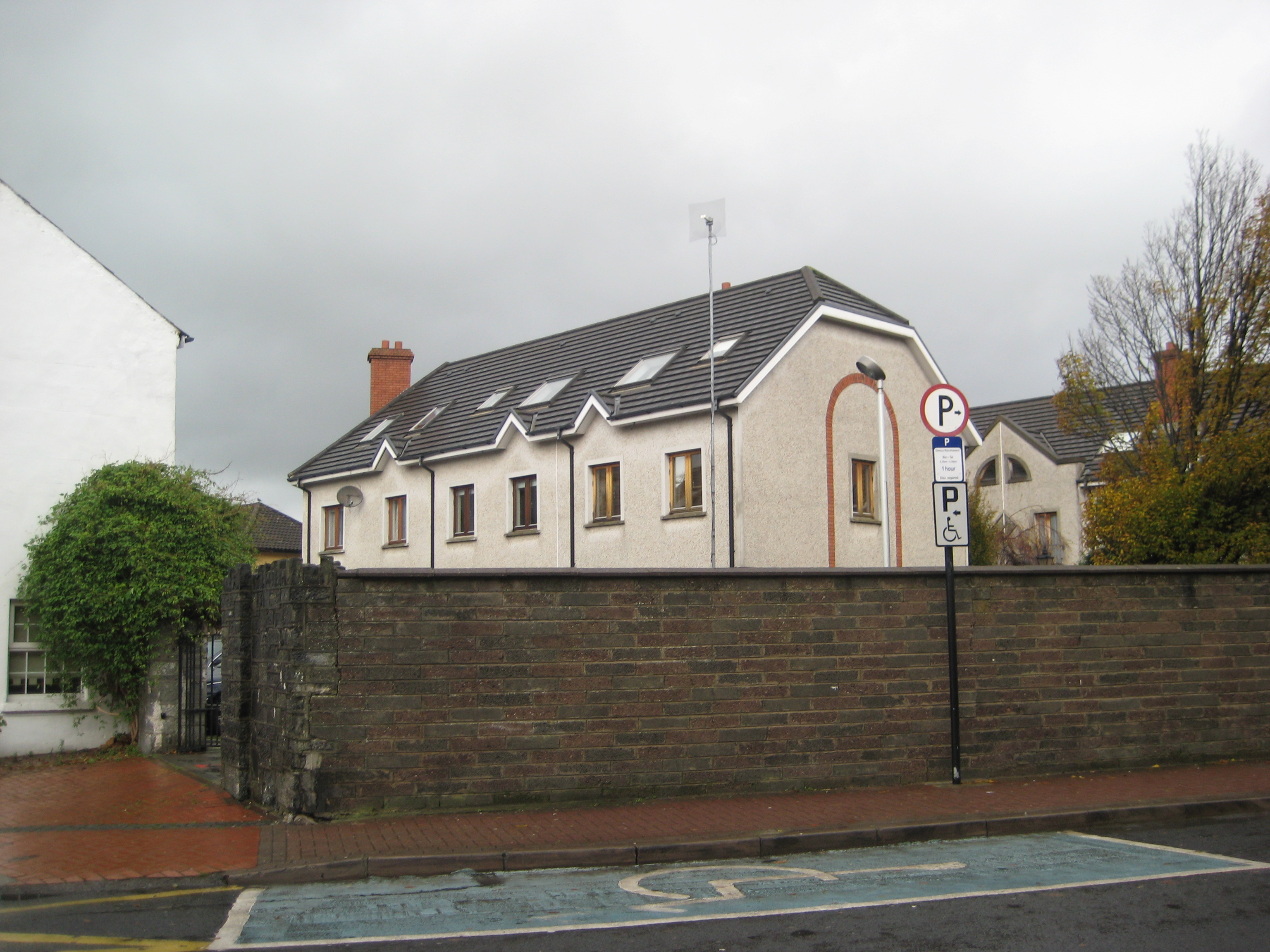
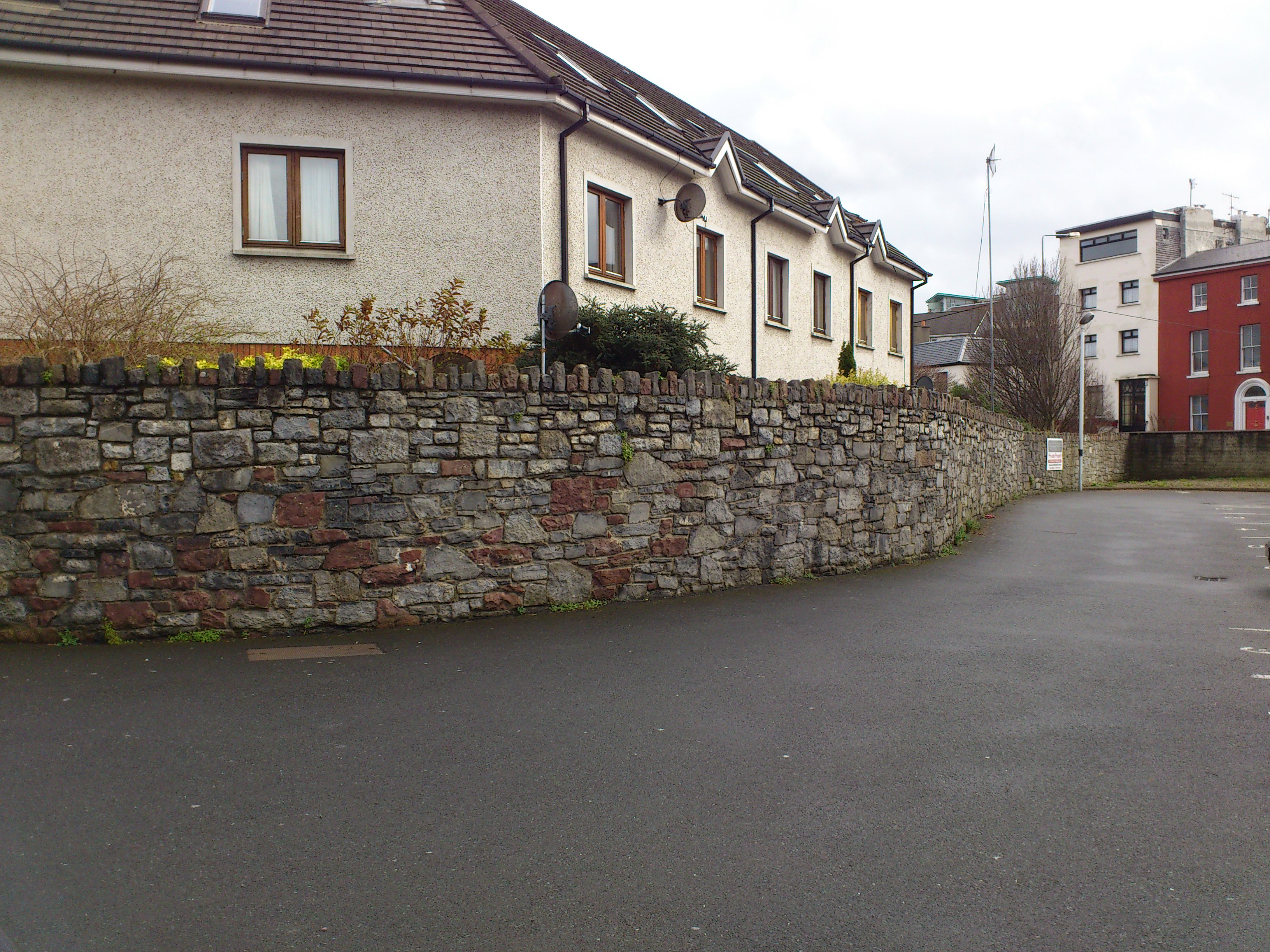
The modern building is on the site of the demolished Rectory.
Photo 2013.
See full size
Shows that the wall here is old, while the wall round the Rectory site is newer.
See 2010 shot
and other shot.
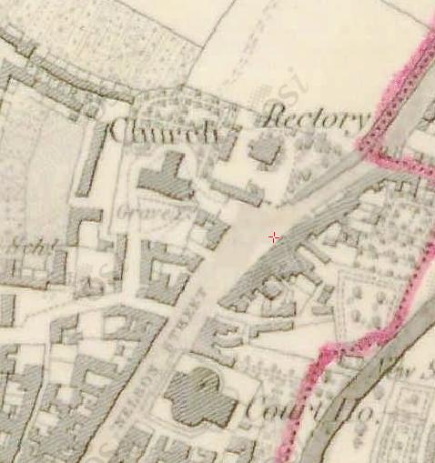
Tralee church and Rectory. 1829 to 1842 period.
From OSI.
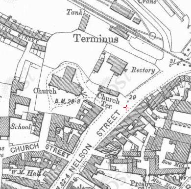
Tralee church and Rectory. 1887 to 1913 period.
From OSI.
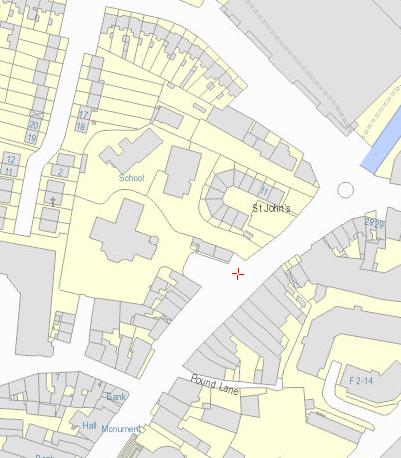
Tralee church and site of Rectory. Modern map.
From OSI.
The maps show that the curving wall around the rectory site is new,
while the boundary wall to the N is old.
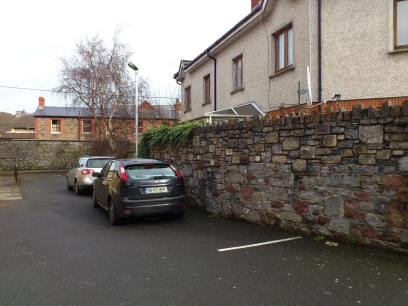
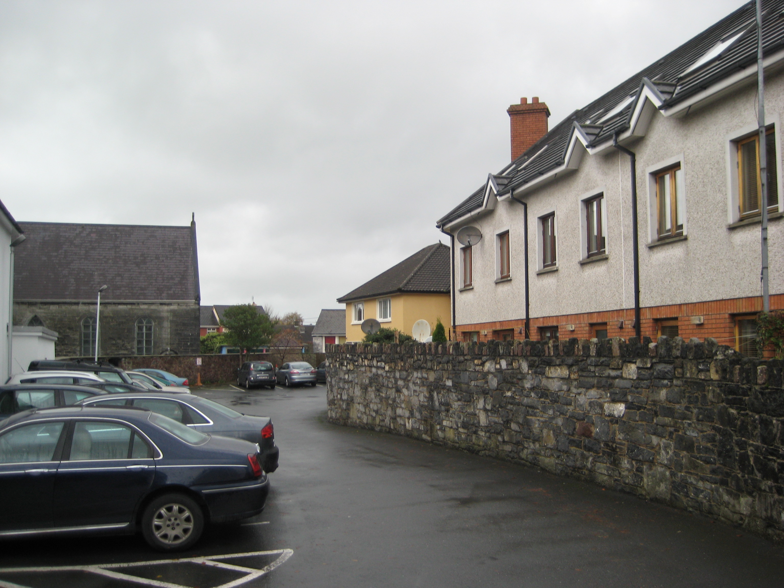
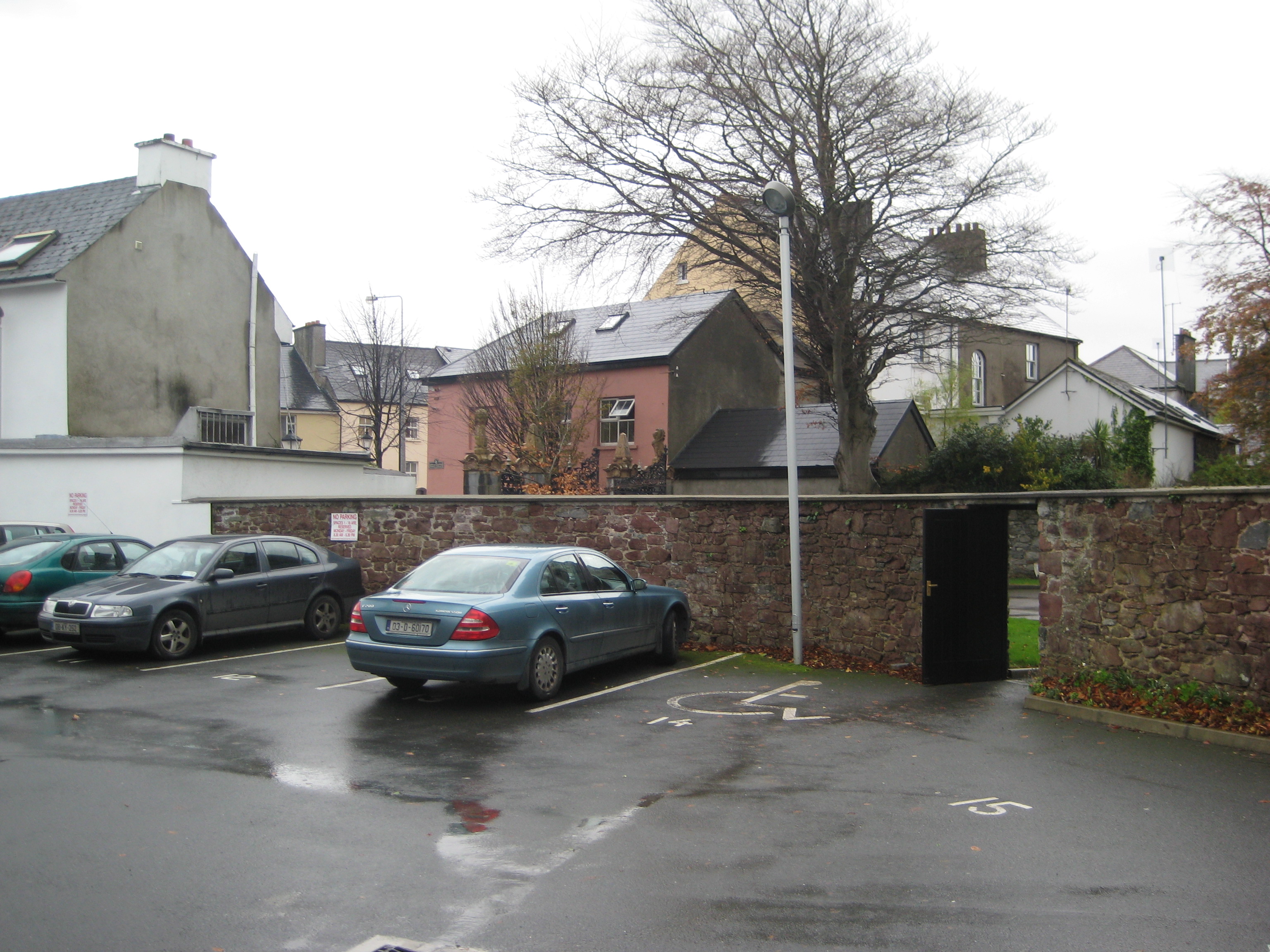
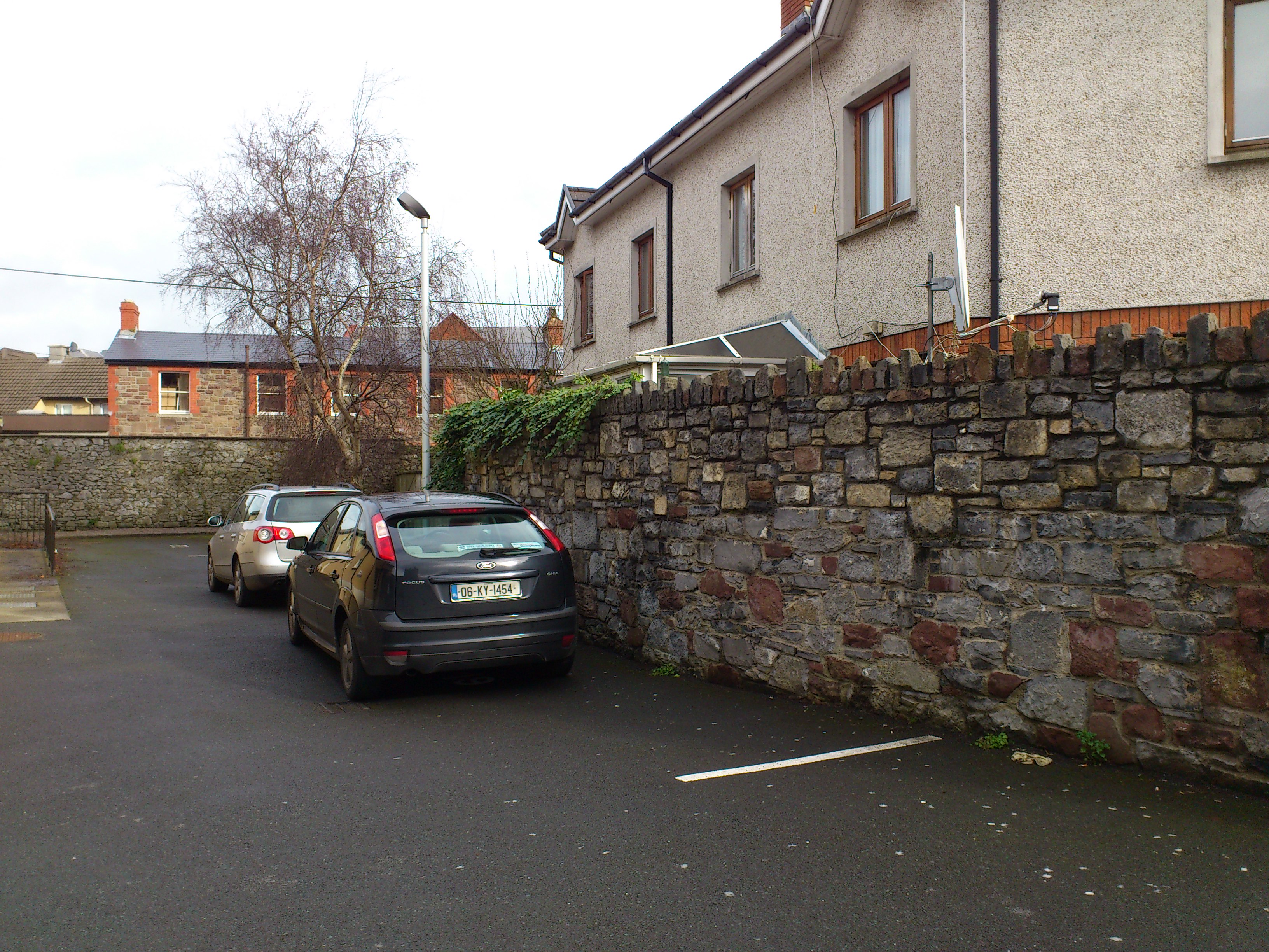
Photo 2013 shows that the curving wall around the rectory site (RHS in picture) is newer than
the boundary wall to the N (background).
See full size.
See other shot
of the curving wall.

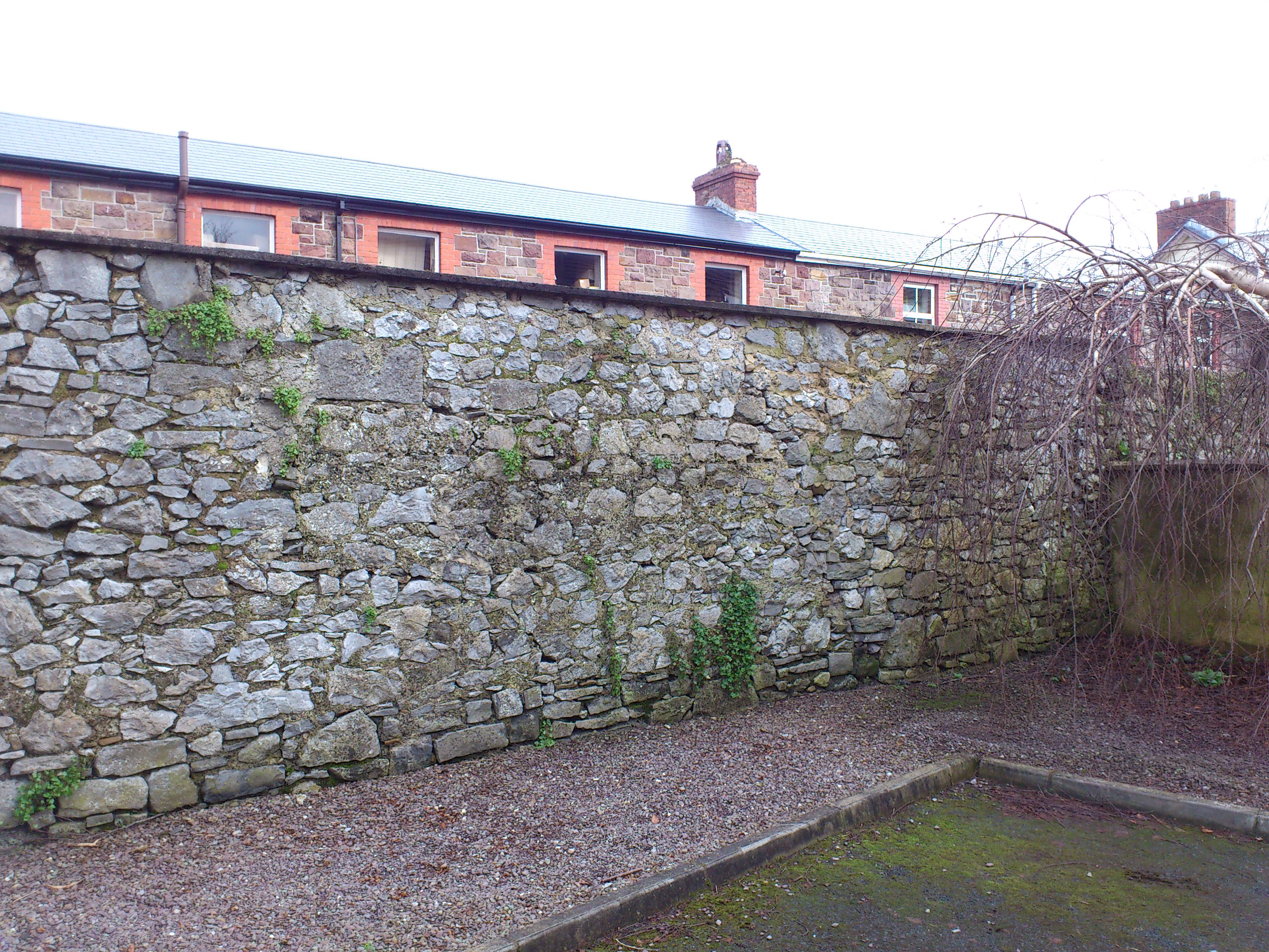
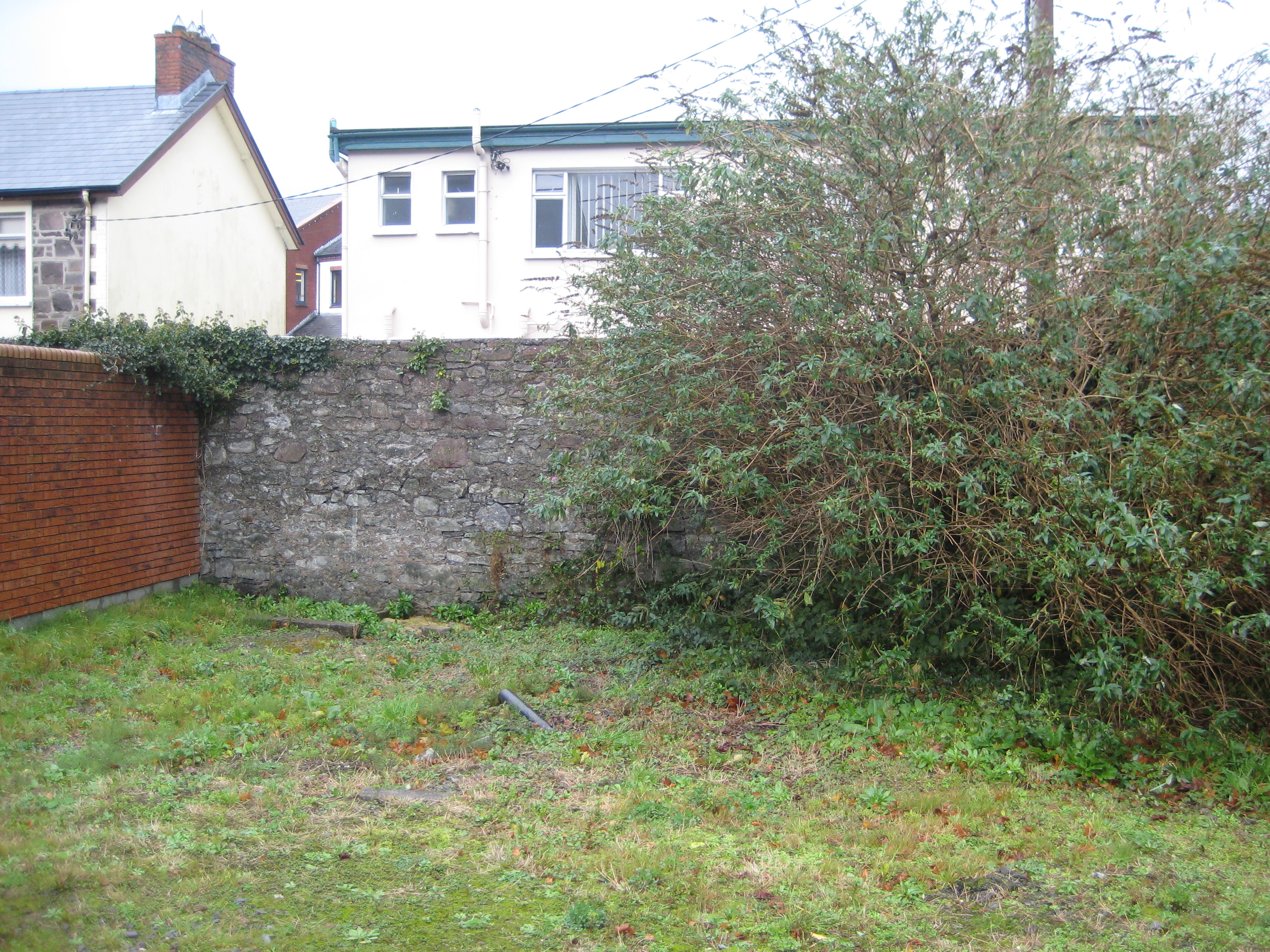
Close-up of the old boundary wall to the N (background of picture above).
Photo 2013.
See full size
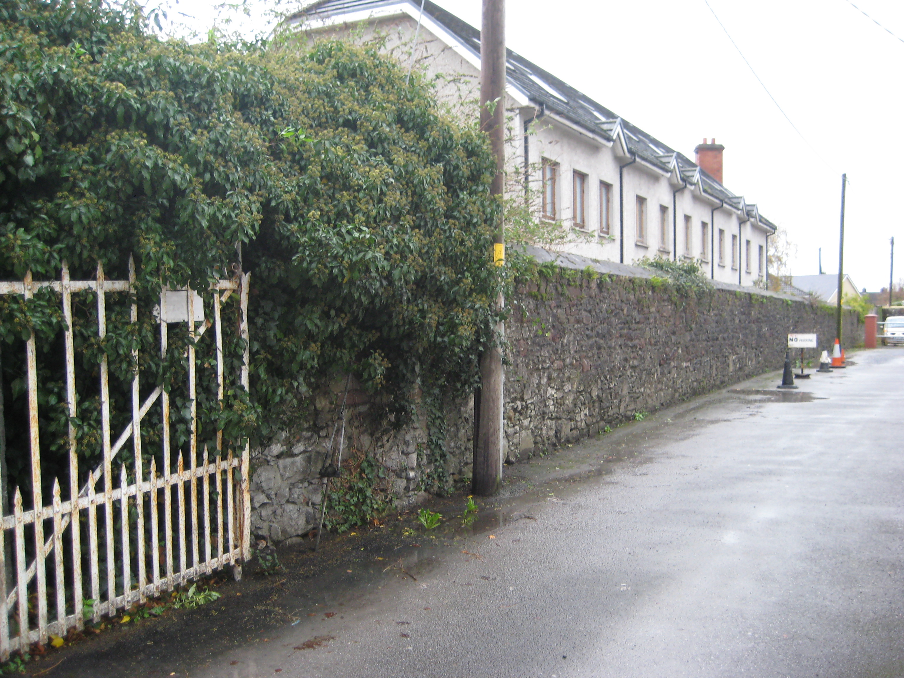
The N boundary wall from the outside (further up the road).
Photo 2010.
See larger
and full size.
See other shot
and other shot.
See rectory side of wall
near the road.
Please donate to support this site.
I have spent a great deal of time and money on this research.
Research involves travel and many expenses.
Some research "things to do"
are not done for years, because I do not have the money to do them.
Please Donate Here
to support the ongoing research and
to keep this website free.
