Simmonscourt Castle is off what is now Simmonscourt Rd, Ballsbridge, Co.Dublin.
The ruin today is
close to the Victorian "Simmonscourt Castle".
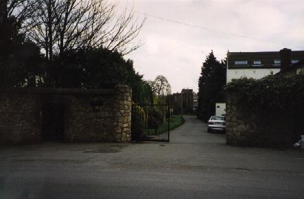
The entrance
is near the Anglesea Rd end of Simmonscourt Rd
(at the far end from the RDS)
and is marked "Simmonscourt Castle" on the gate.
The medieval block is down the avenue on the RHS.
Beyond it are a modern block of flats, and the Victorian building.
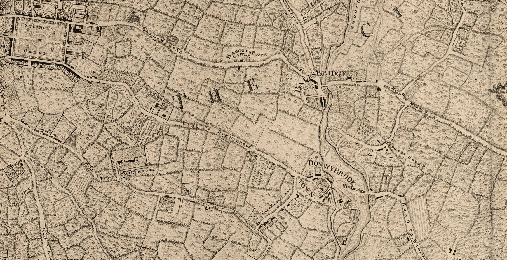
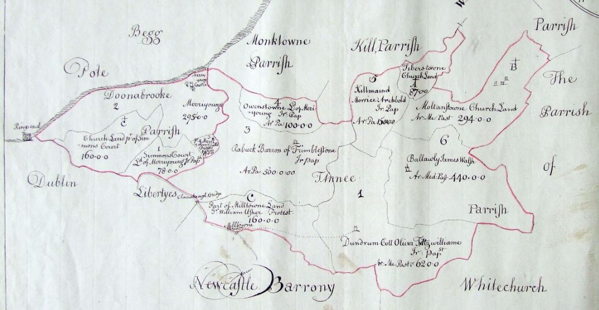
Detail of
John Rocque's map of Dublin, 1757,
showing Baggotrath, Simmonscourt and Donnybrook.
See larger.
The Donnybrook/Stillorgan/Wicklow road still exists, and the Ballsbridge/Merrion road still exists,
but everything in between has been obliterated.
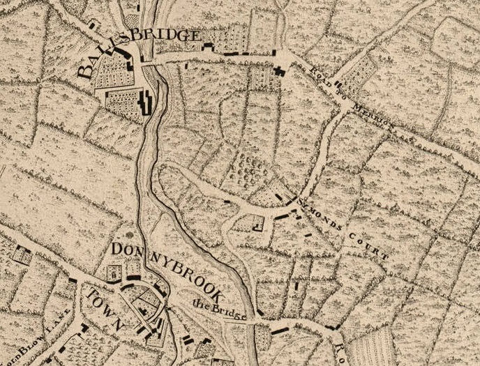
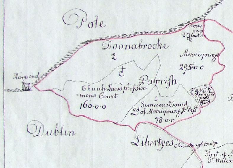
Detail of 1757 map above.
Simmonscourt Castle was already a ruin by this time.
There seems to be a complex of buildings at the site.
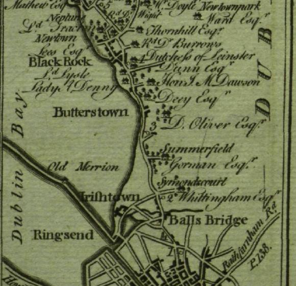
Simmonscourt
in
[Taylor and Skinner, 1777].
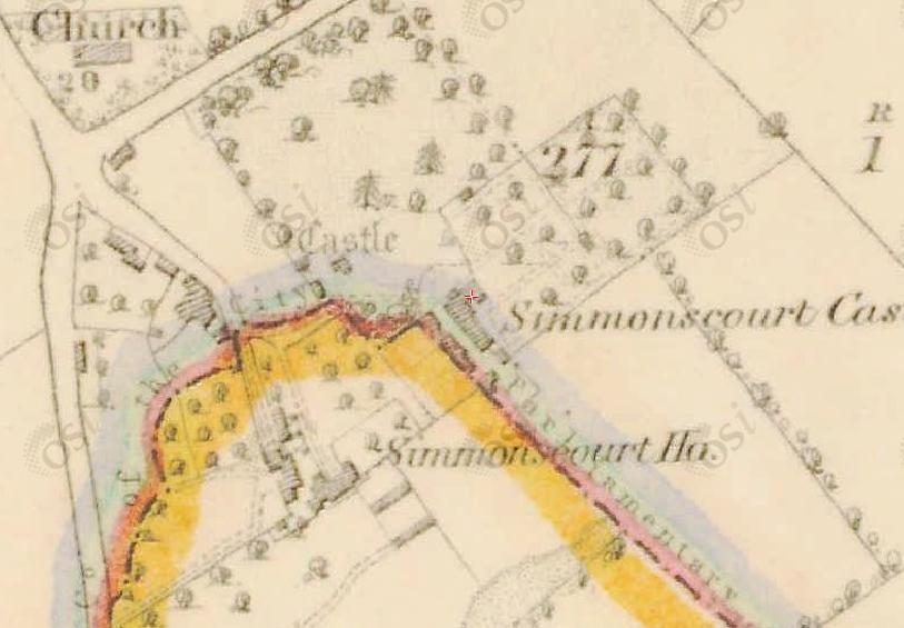
Simmonscourt Castle on
1829 to 1842 map.
There is a new "Simmonscourt Castle".
The medieval castle is marked
"Castle".
Ordnance Survey of Ireland map.
Date created: 1865.
From here.
The castle is marked.
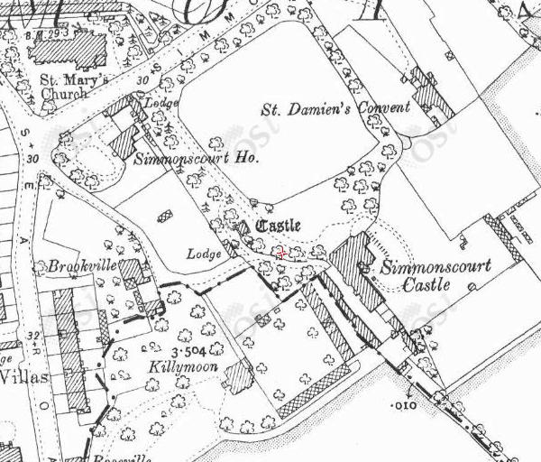
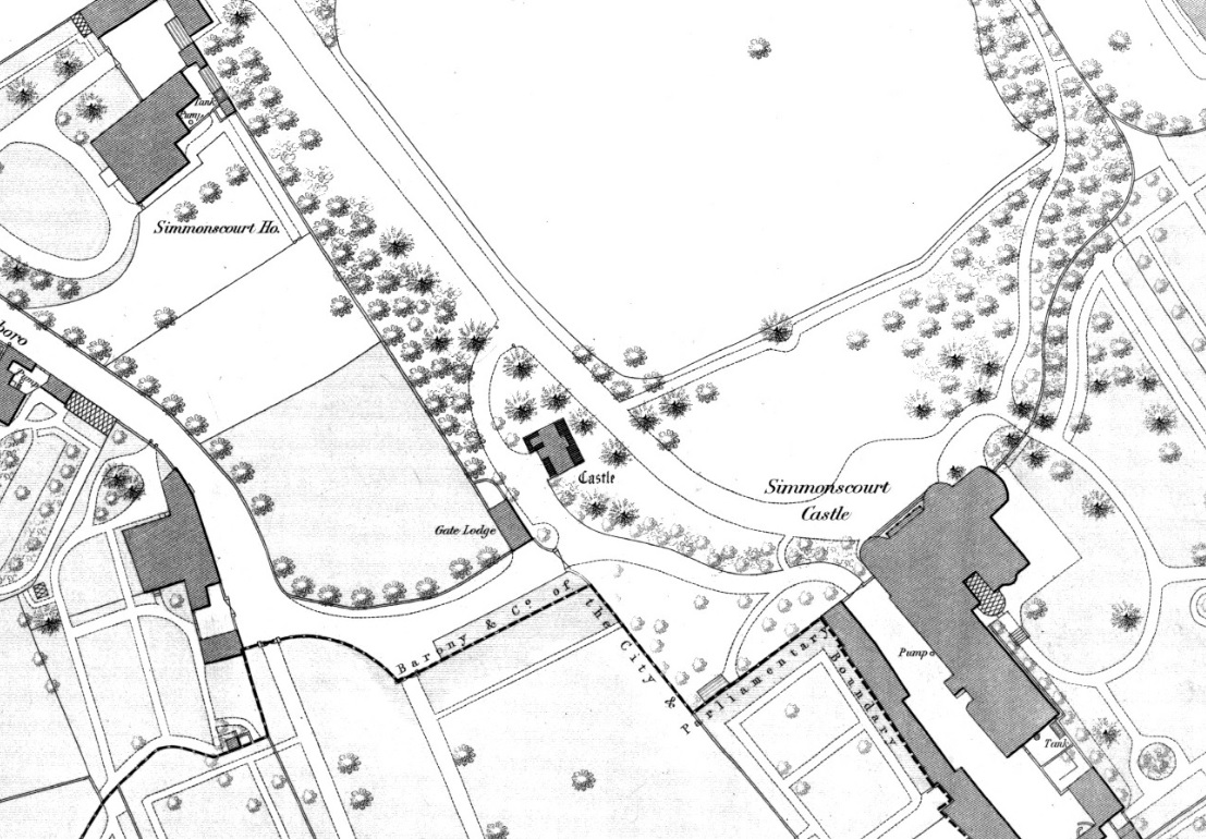
Simmonscourt Castle on
1887 to 1913 map.
Location of Simmonscourt Castle today.
Click to toggle map/satellite view.
Click to zoom in/out.
Drag to move.
From
Google Maps.
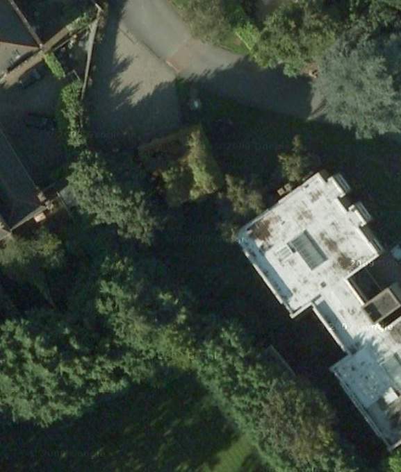
Close-up of the above.
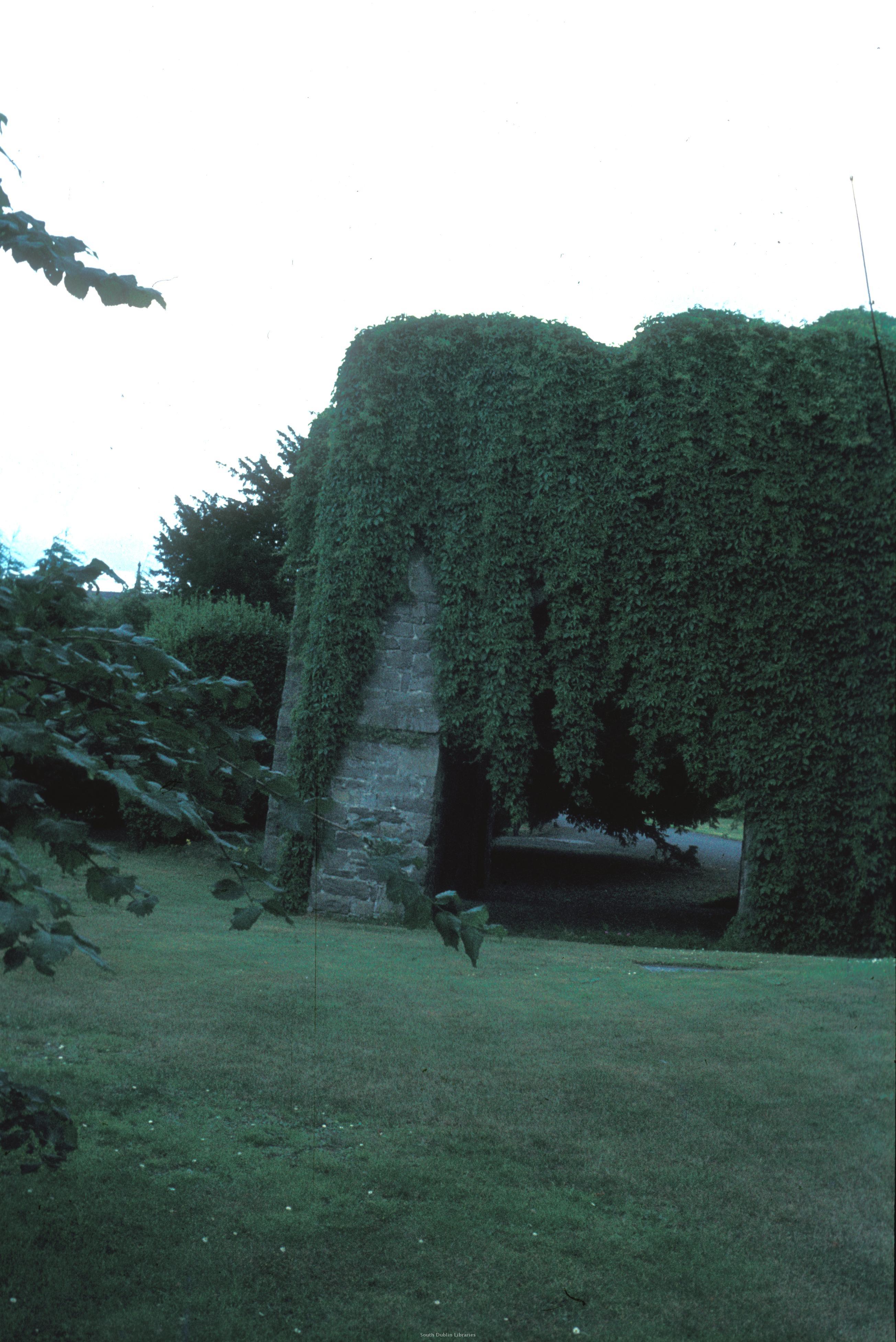
The green-covered block at the start of the avenue
is the old Simmonscourt Castle.
To the SE of it are a modern block of flats, and the Victorian "Simmonscourt Castle".
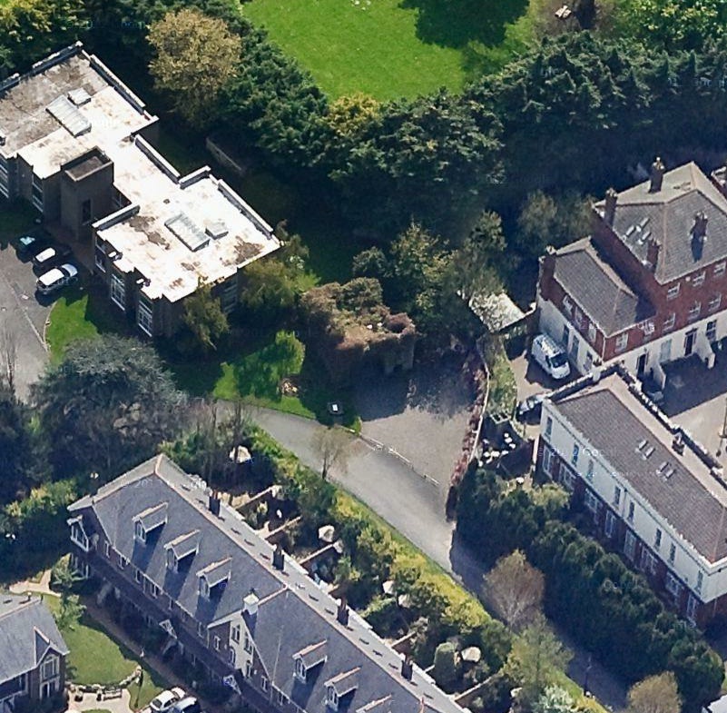
Simmonscourt Castle on
Google 45 degree view.
Up is S.
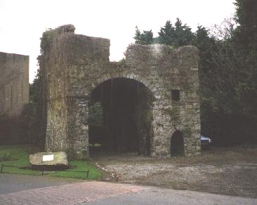
Simmonscourt Castle.
Street view of entrance.
Click to rotate.
From Google Street View.
See also
1999 photo.
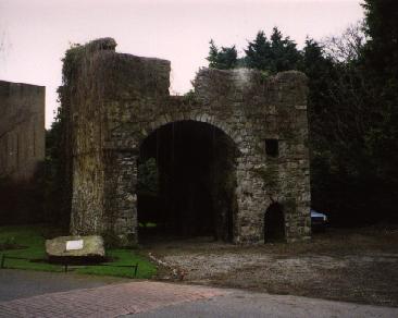
This looks pretty much like the front of the ruin looks today.
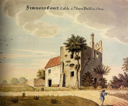
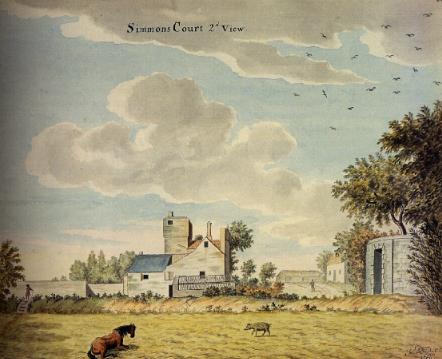
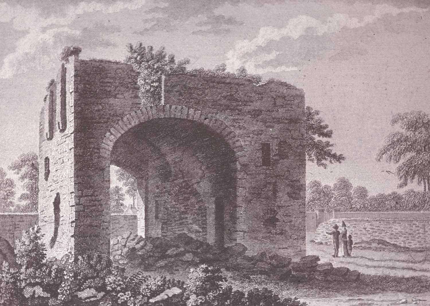
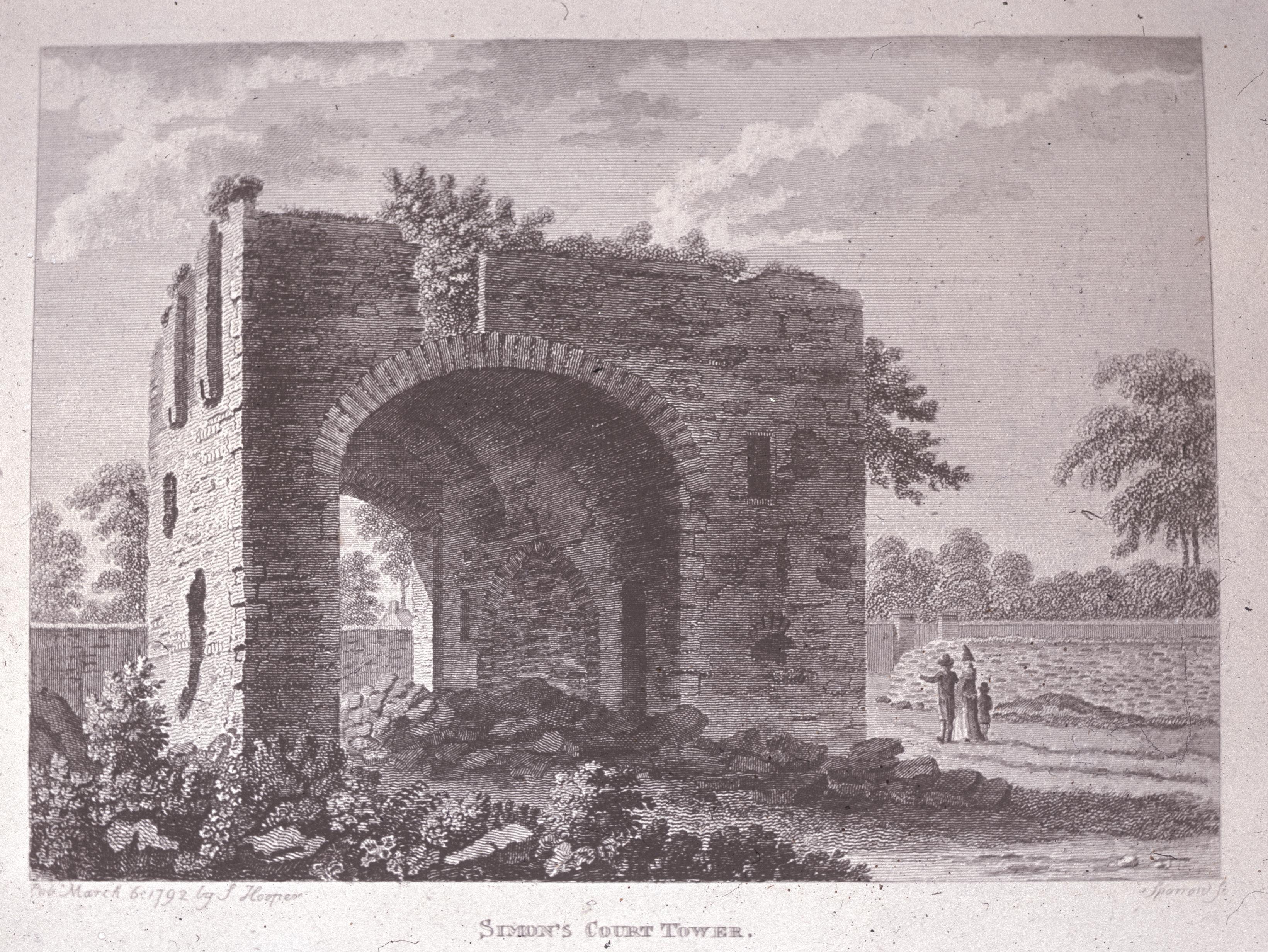
However Gabriel Beranger's views in the 1760s look entirely different.
[Harbison, 1998] suggests
the present ruin might represent only
the gate house for the now-vanished main block seen in Beranger's views.
Simmonscourt Castle was also described by Austin Cooper 1780,
and that description is also like this gate house.
So that would mean the main block vanished some time around 1770.
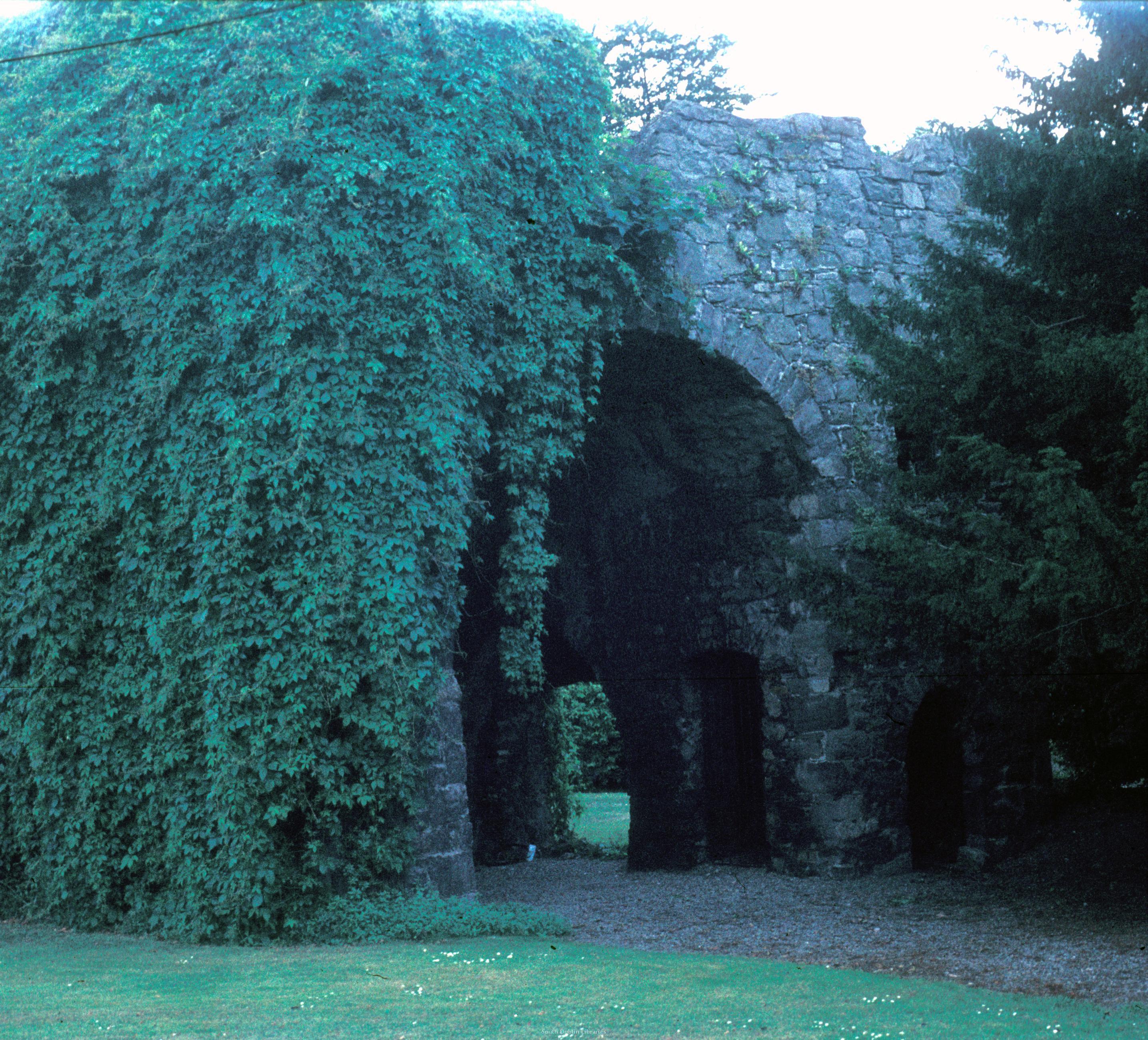
Simmonscourt Castle.
Photo 1977.
See full size.
From South Dublin Libraries.
Patrick Healy collection.
See terms of use.
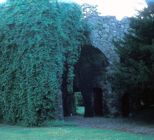
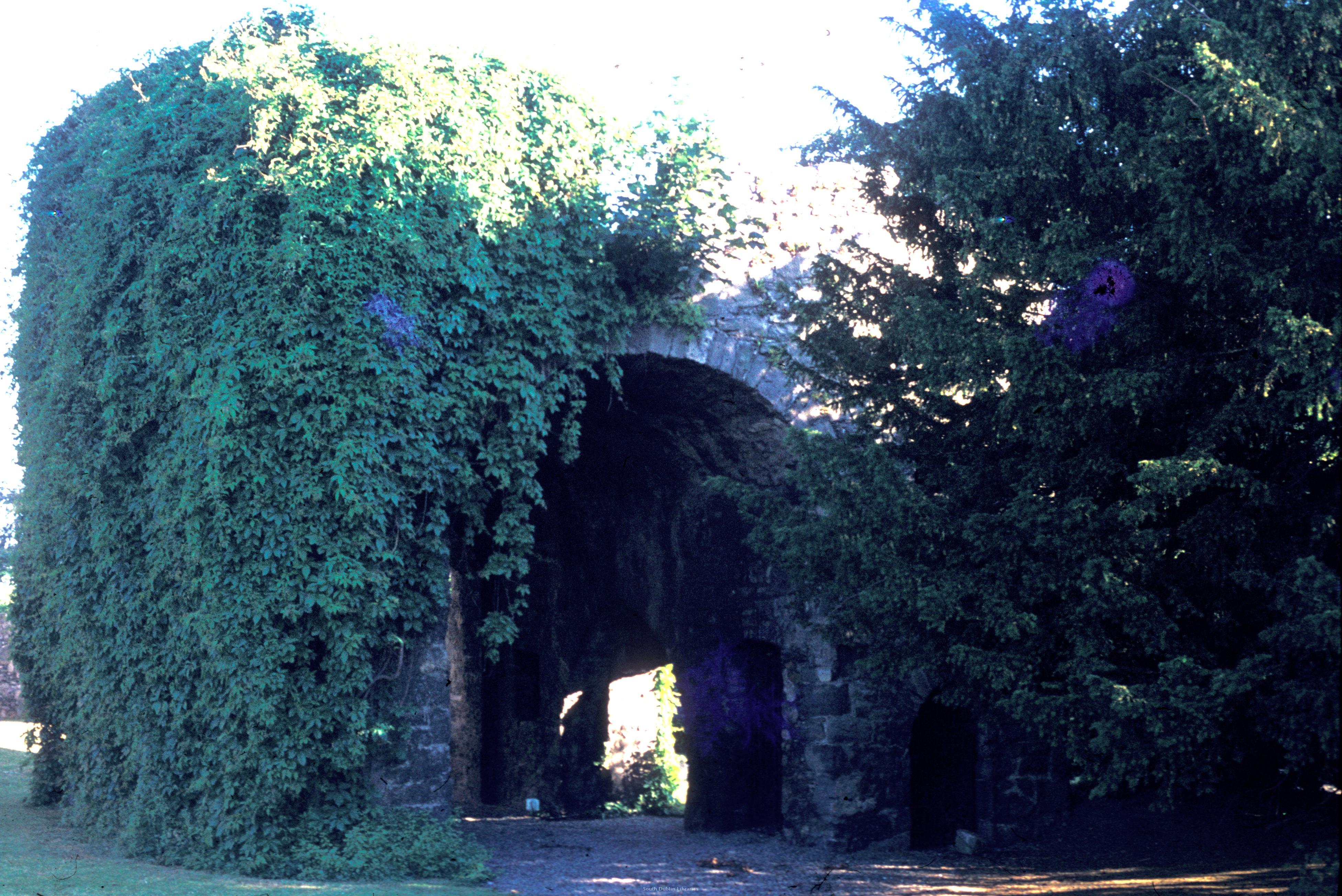
Simmonscourt Castle.
See full size.
From South Dublin Libraries.
Patrick Healy collection.
See terms of use.
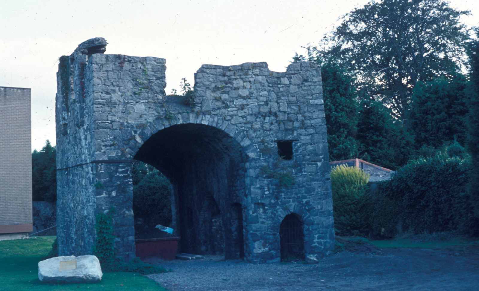
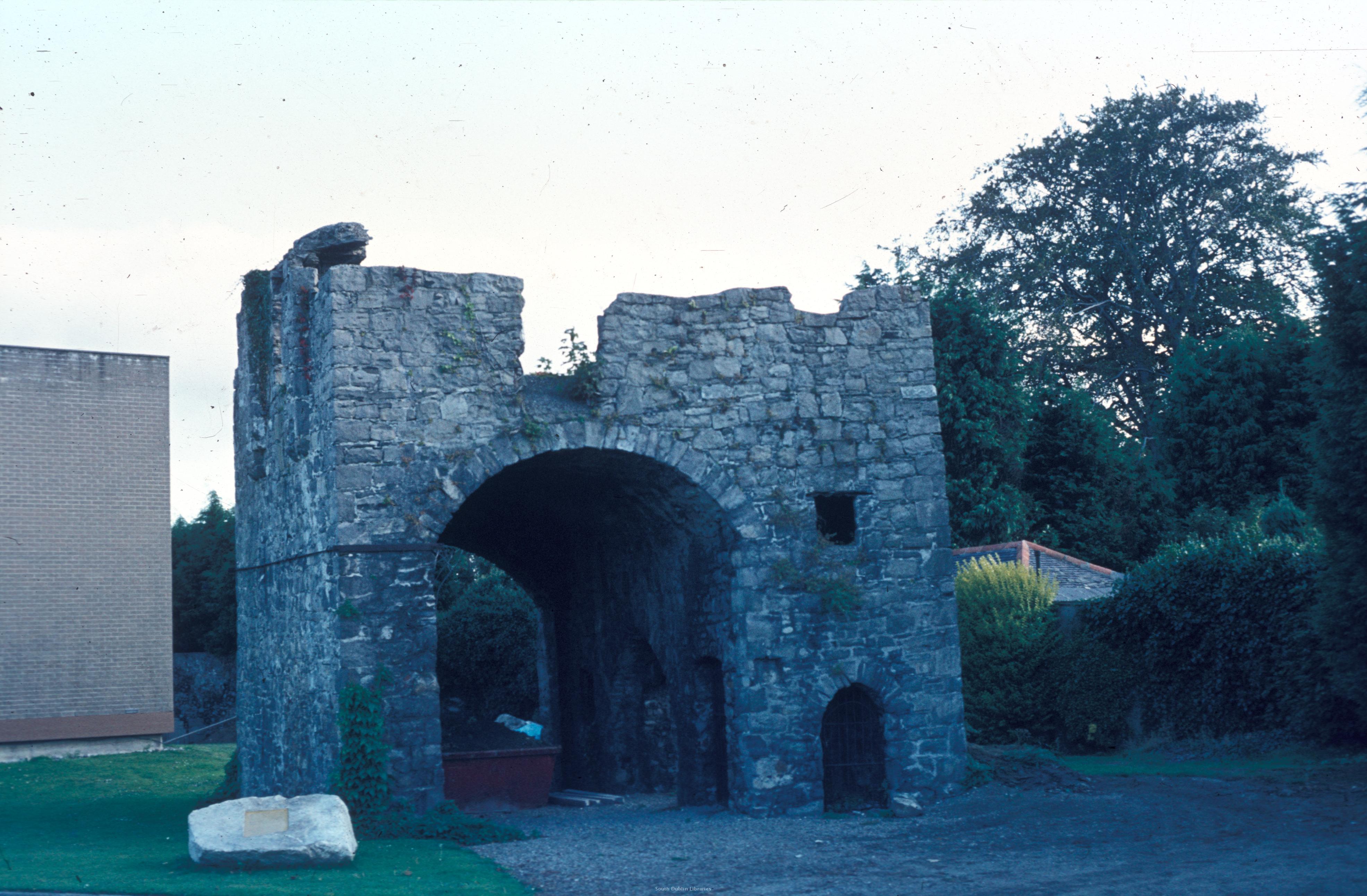
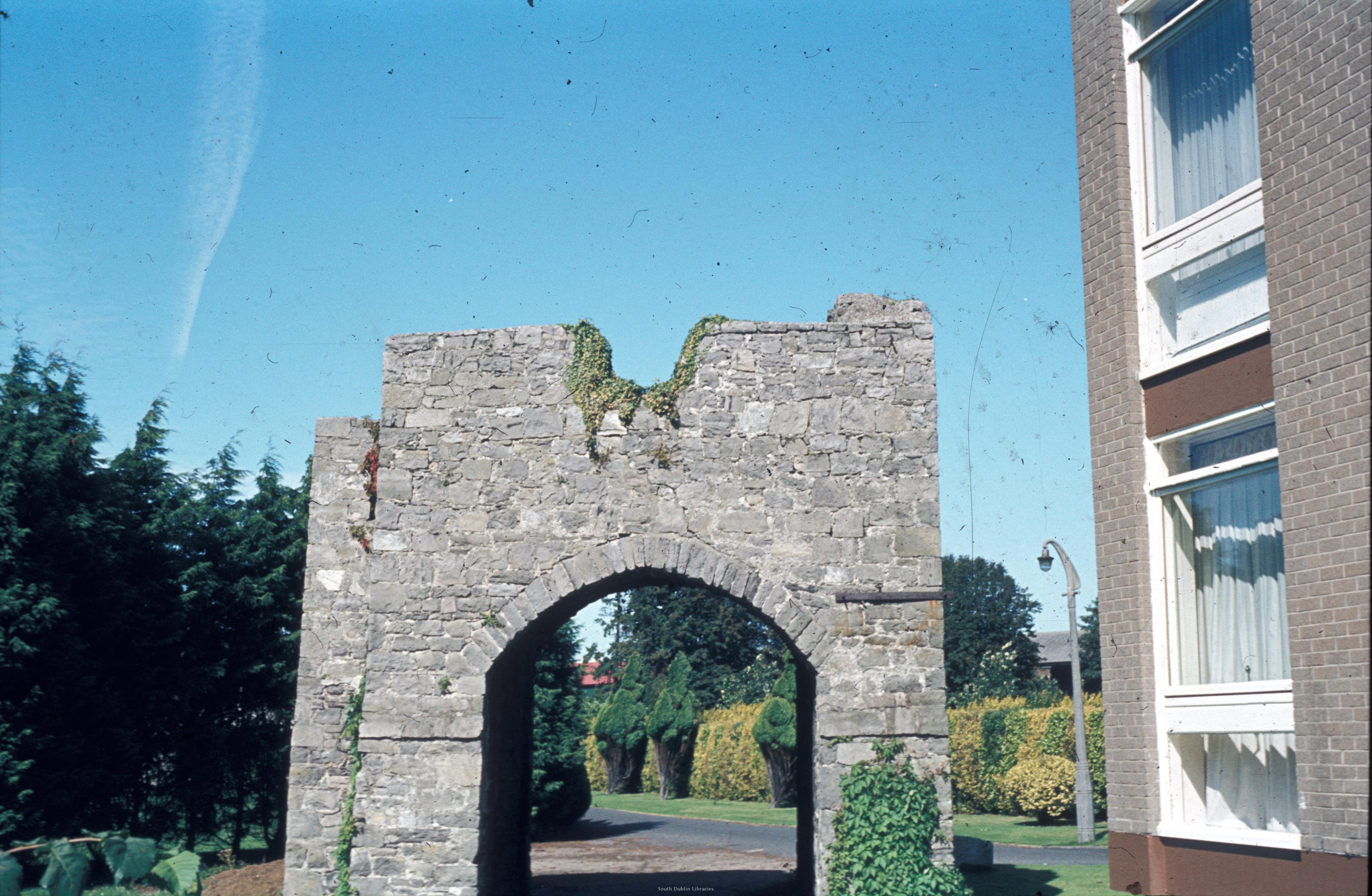
Simmonscourt Castle.
Note modern block of flats in background LHS.
Photo 1982.
See full size.
From South Dublin Libraries.
Patrick Healy collection.
See terms of use.
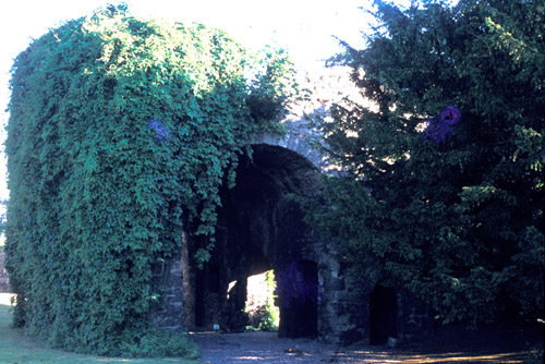
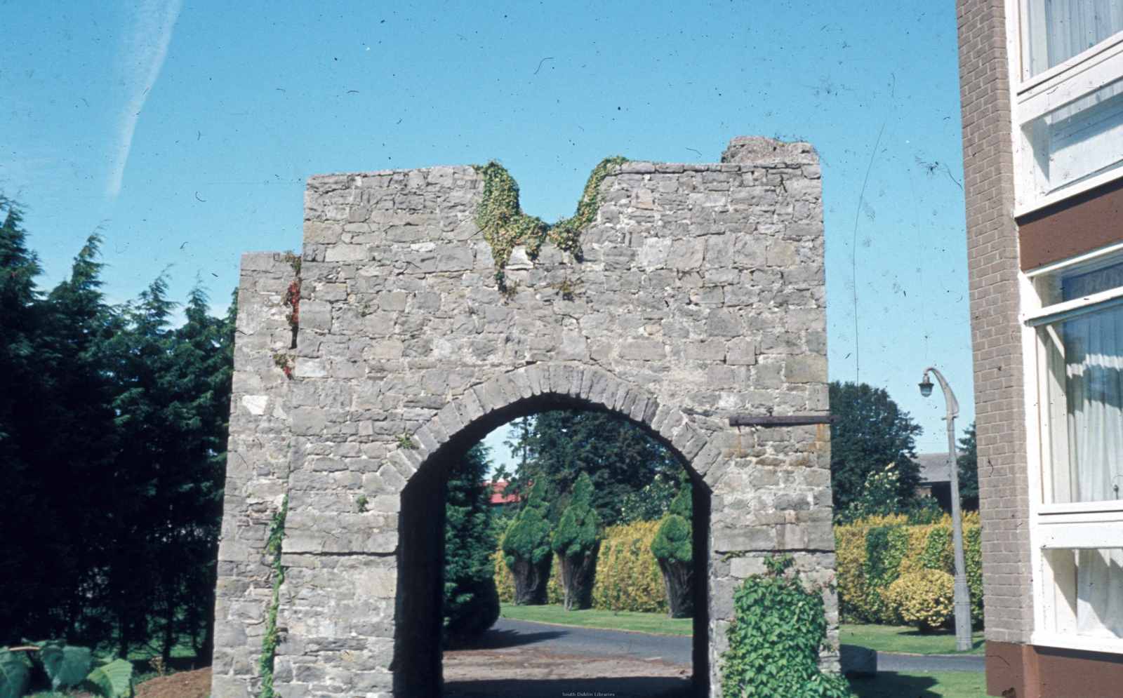
Simmonscourt Castle.
Photo 1999.
See full size.
See the Victorian building in background LHS.
Simmonscourt Castle.
Photo 1999.
Note modern block of flats in background LHS.
Light adjusted digitally.
See original.

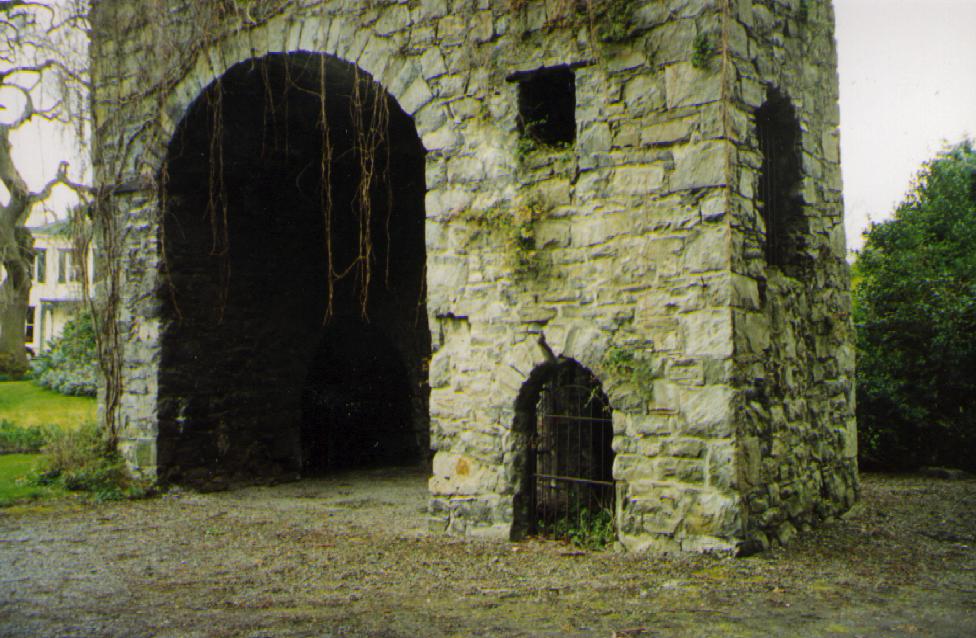
Simmonscourt Castle.
Photo 1982.
See full size.
From South Dublin Libraries.
Patrick Healy collection.
See terms of use.
Please donate to support this site.
I have spent a great deal of time and money on this research.
Research involves travel and many expenses.
Some research "things to do"
are not done for years, because I do not have the money to do them.
Please Donate Here
to support the ongoing research and
to keep this website free.
