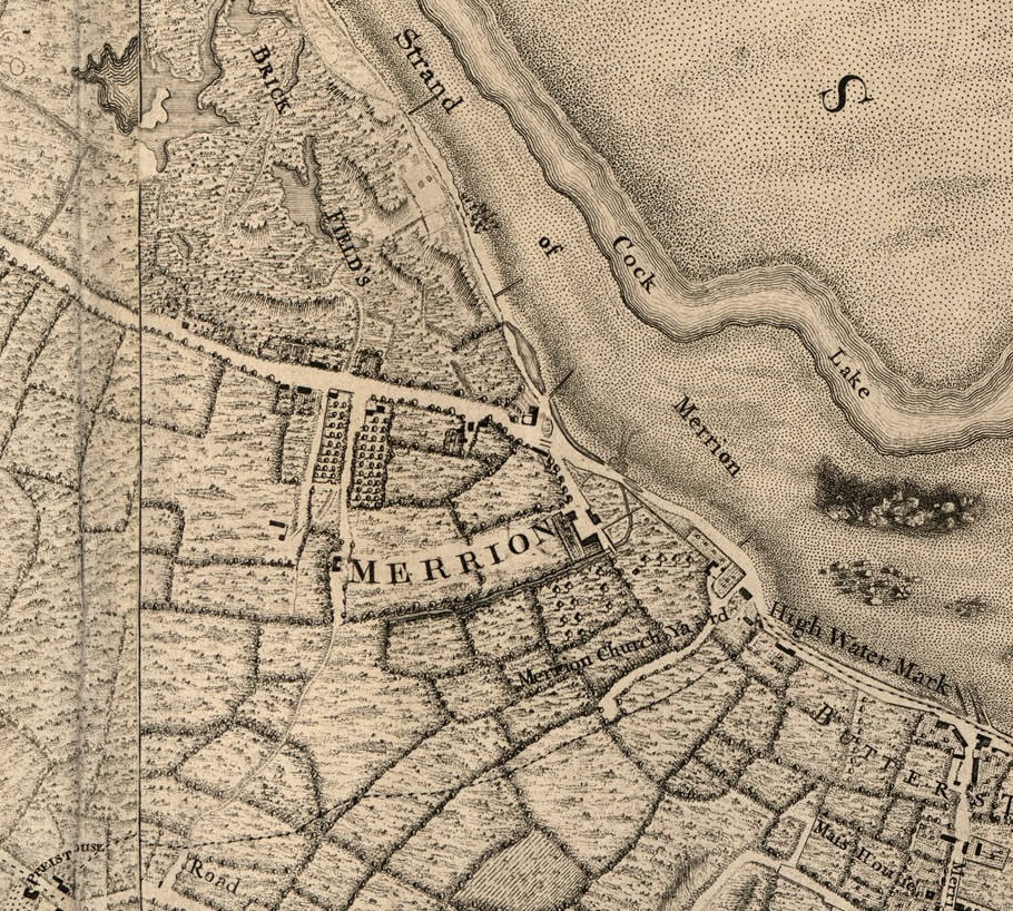
Merrion and Merrion graveyard on
John Rocque's map of Dublin, 1757.
Shows the laneway beside the graveyard existed then.
Merrion Castle existed as a large ruin at this time.
To the SE is
Booterstown.
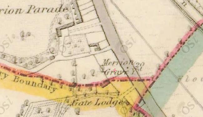
Merrion graveyard on
1829 to 1842 map.
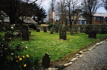
Merrion graveyard.
Photo 1999.

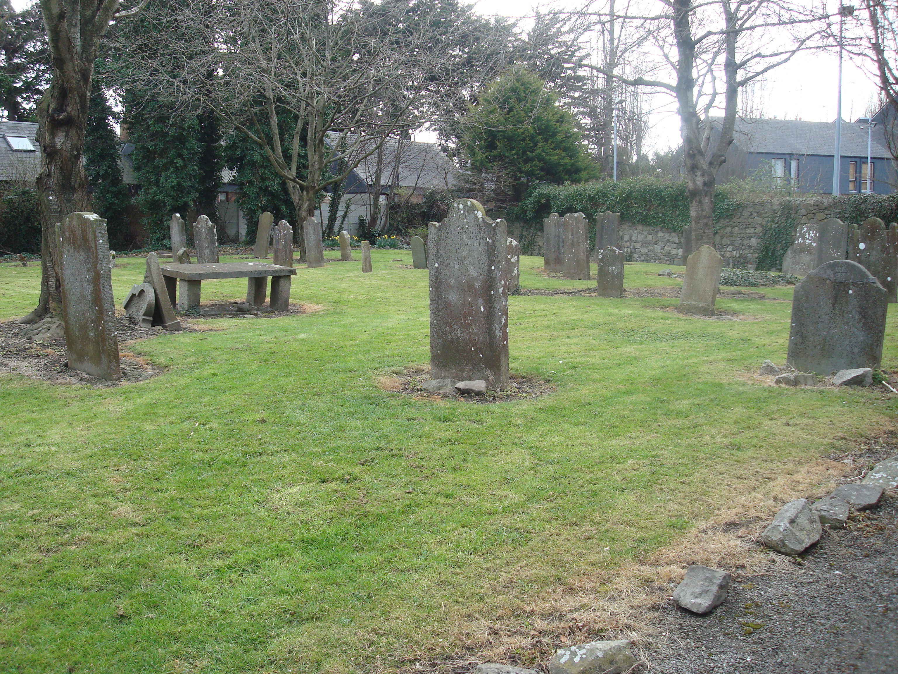
Merrion graveyard.
Photo 2010.
See full size.
From Wikimedia Commons.

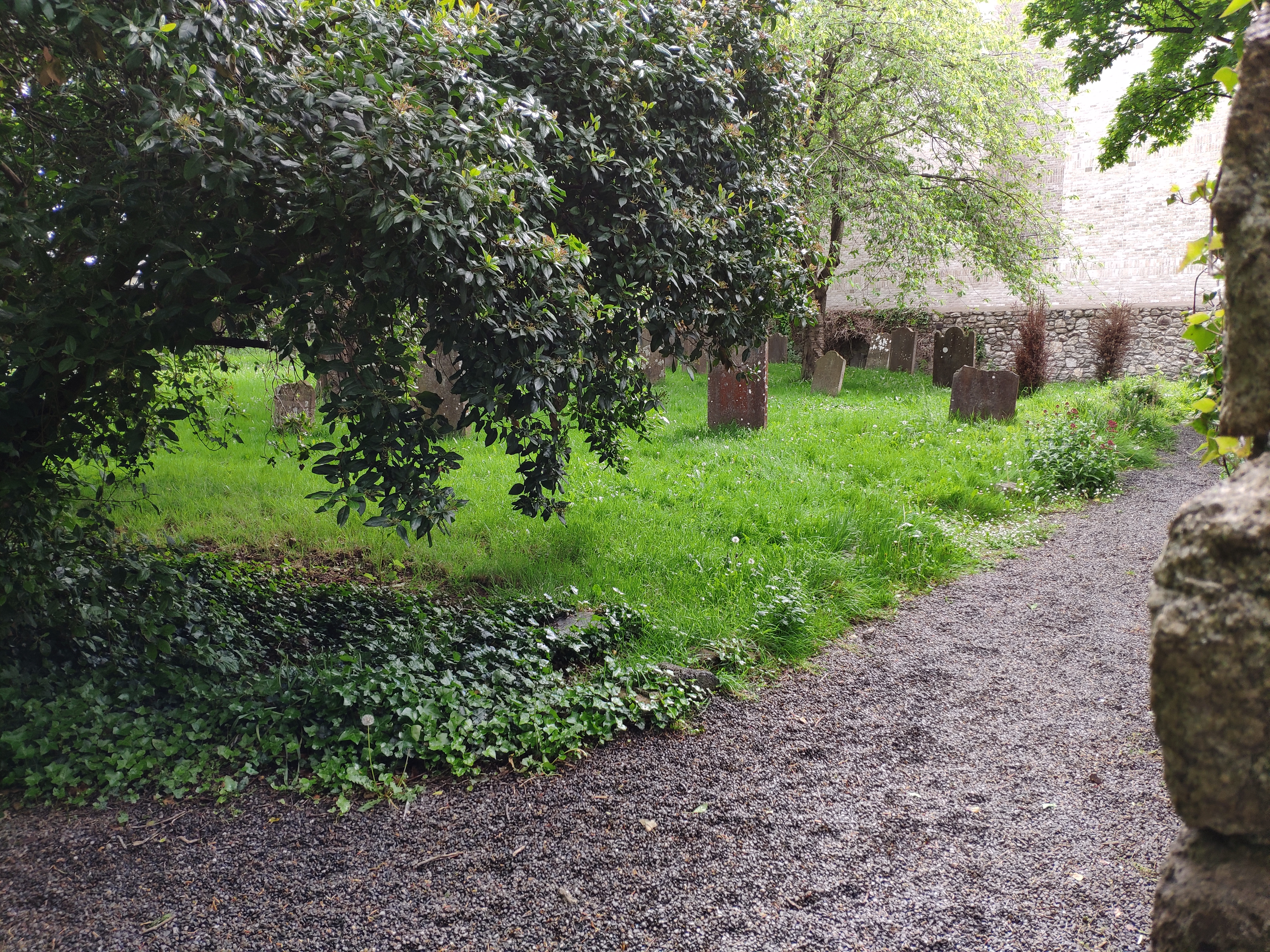
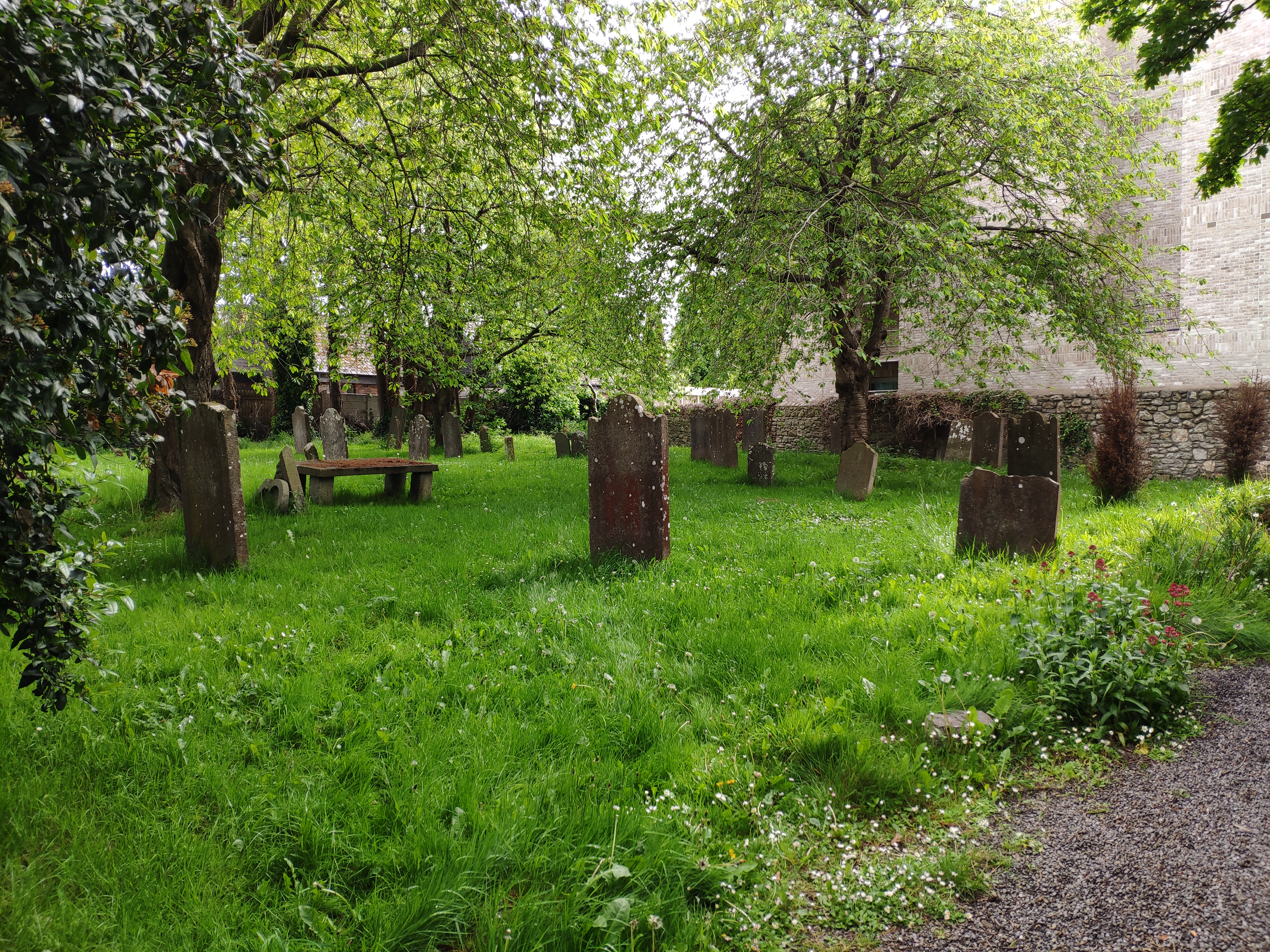
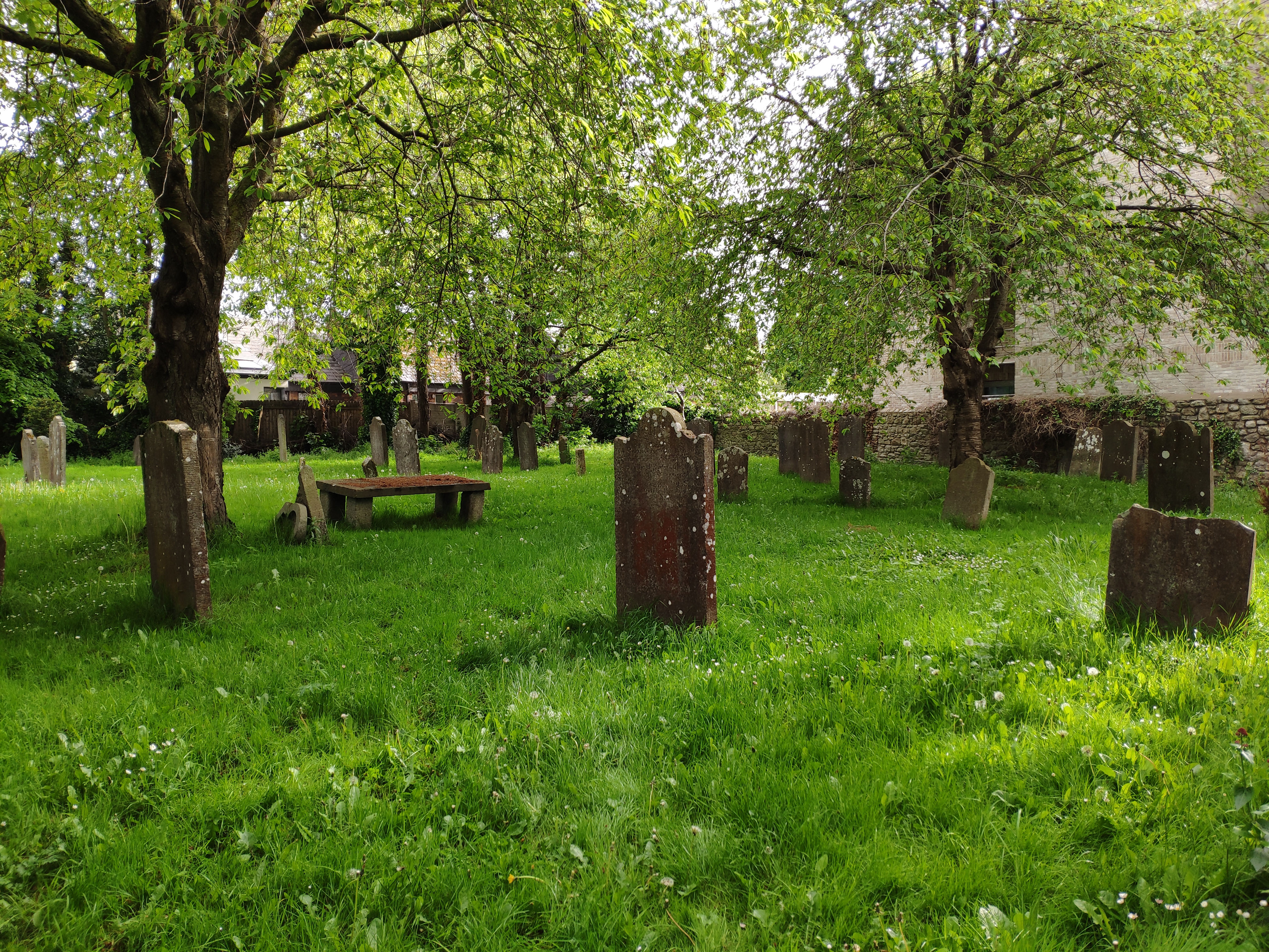
Merrion graveyard.
Photo 2021.
See larger
and full size.
See other shot.
See other shot.
Please donate to support this site.
I have spent a great deal of time and money on this research.
Research involves travel and many expenses.
Some research "things to do"
are not done for years, because I do not have the money to do them.
Please Donate Here
to support the ongoing research and
to keep this website free.
