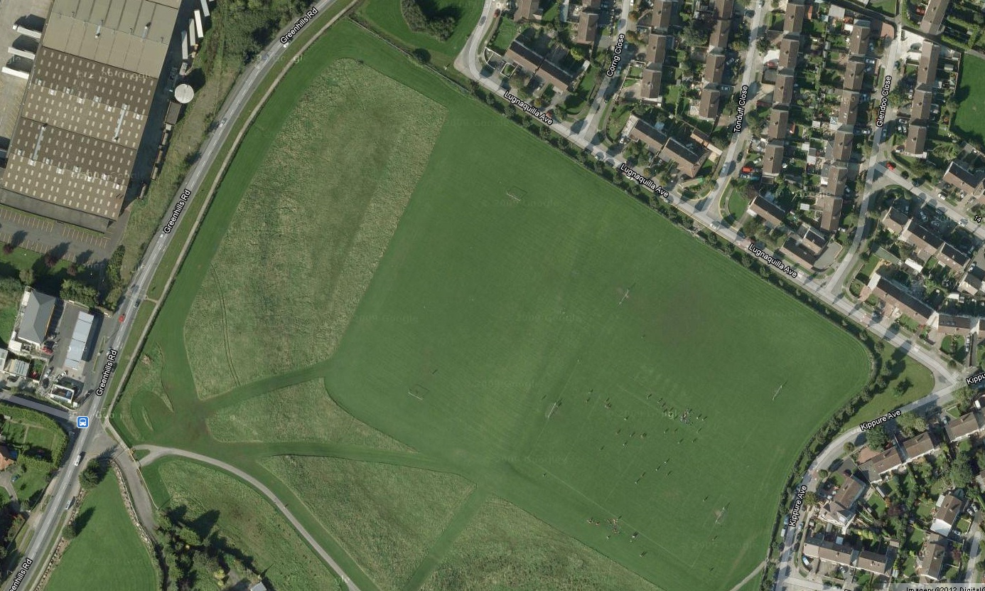
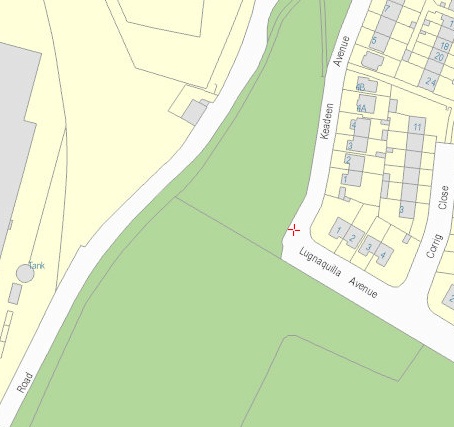
On satellite view
you can make out the shape of the old farm.
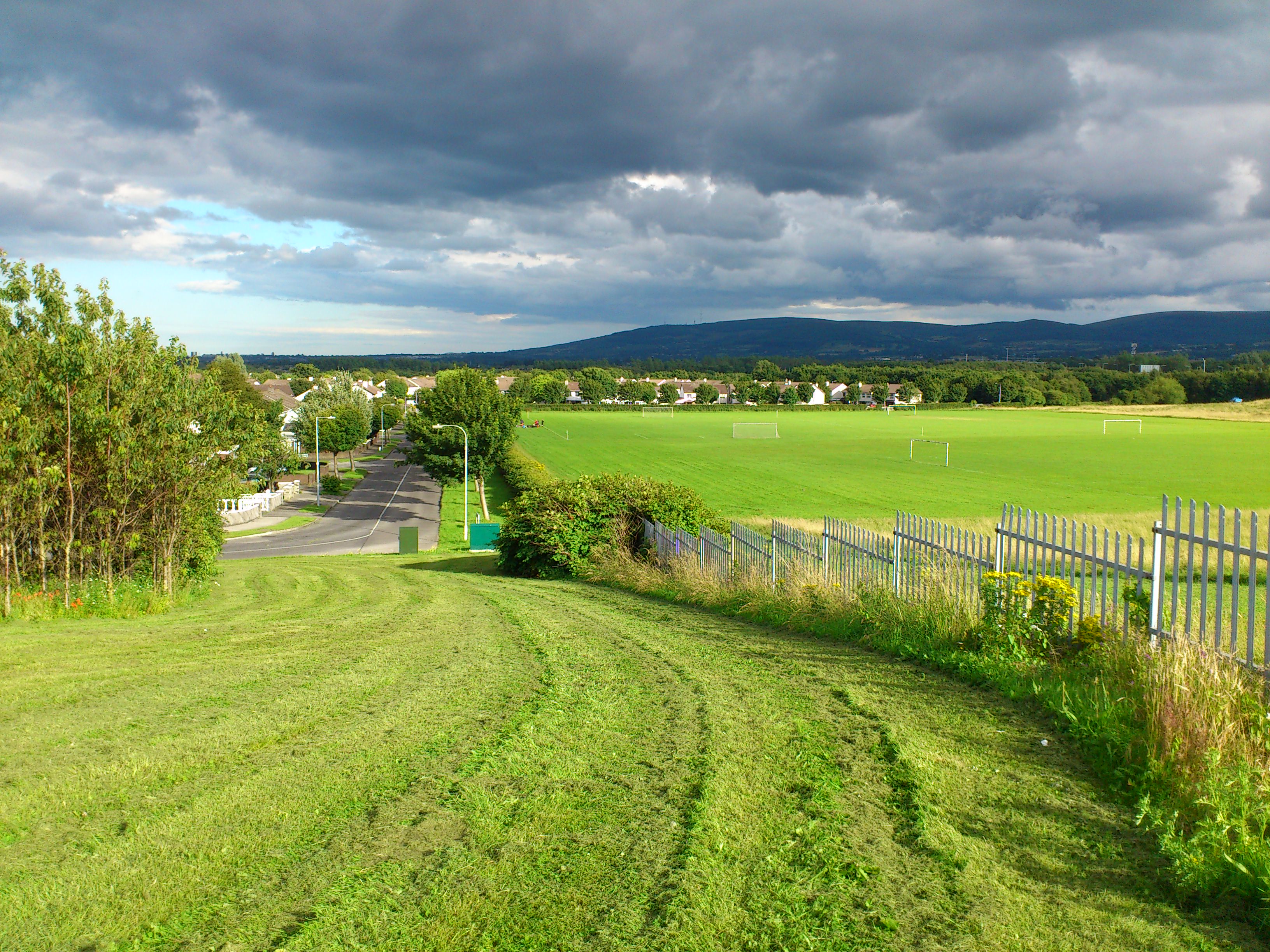
And on ground level too.
The ground level in the farm next door is higher up
and has different vegetation cover.
That may be partly because of the choice to mow the lower section for sports pitches and not mow the raised section.
But also the soil in the raised section may be different after having a different history.
From Google Maps.

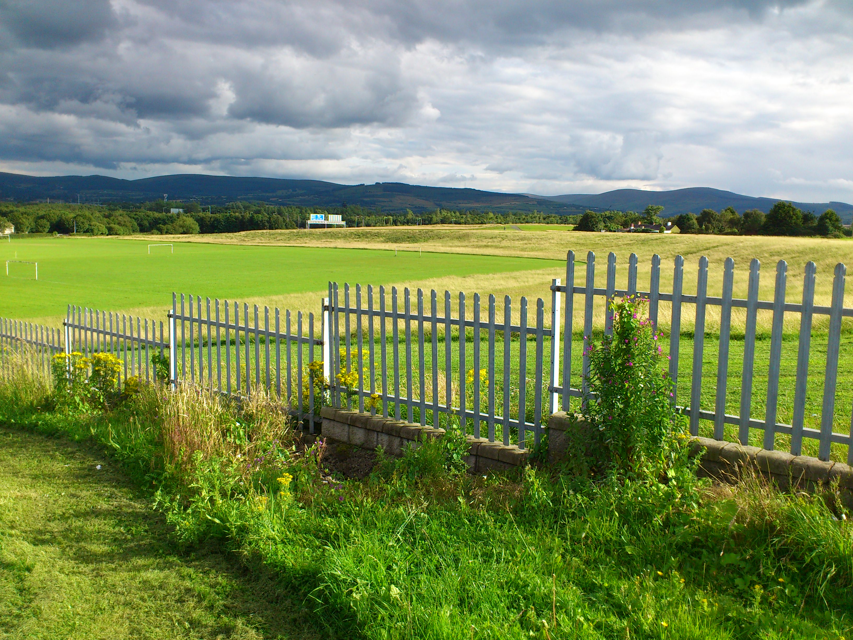
View of the Flanagan farm (farm is on RHS of fence).
From up near the road looking downhill.
Photo 2012.
See full size.
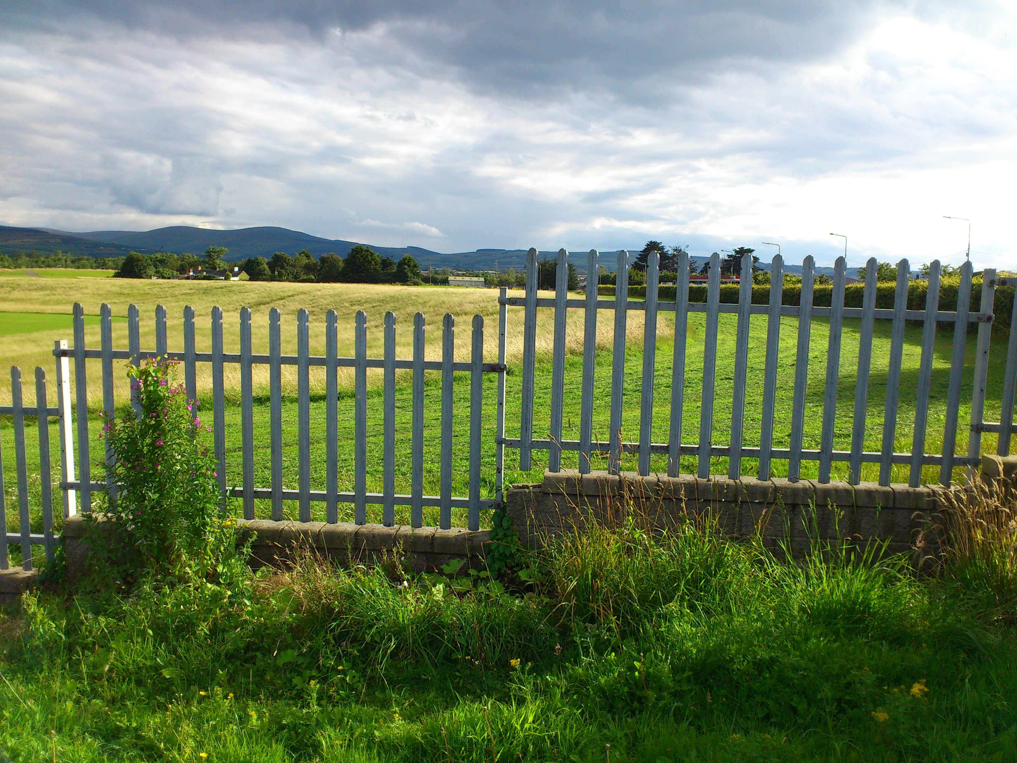
See
view further to the right
and further to the right
and further to the right.
See
street view
down at the corner.

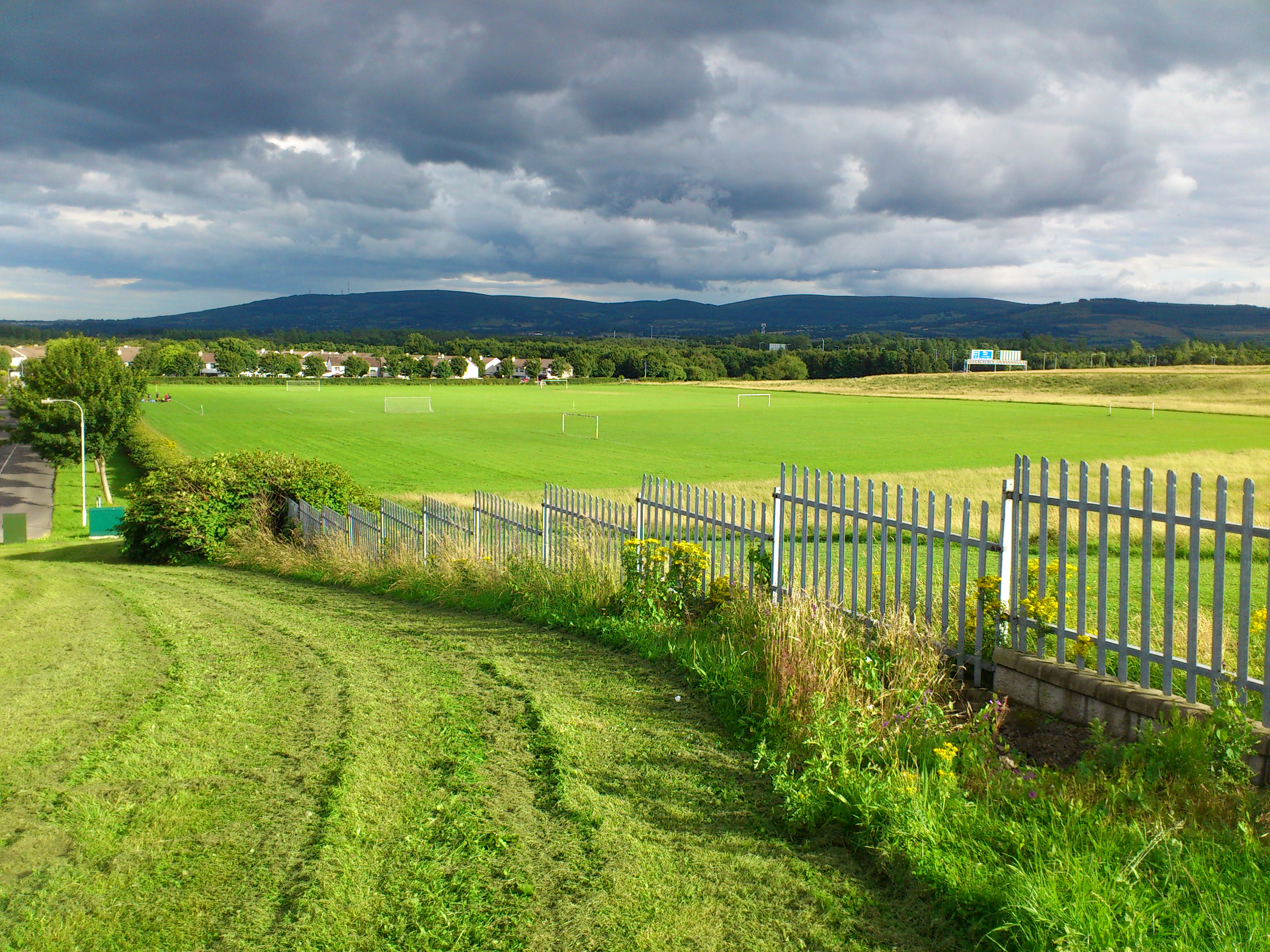
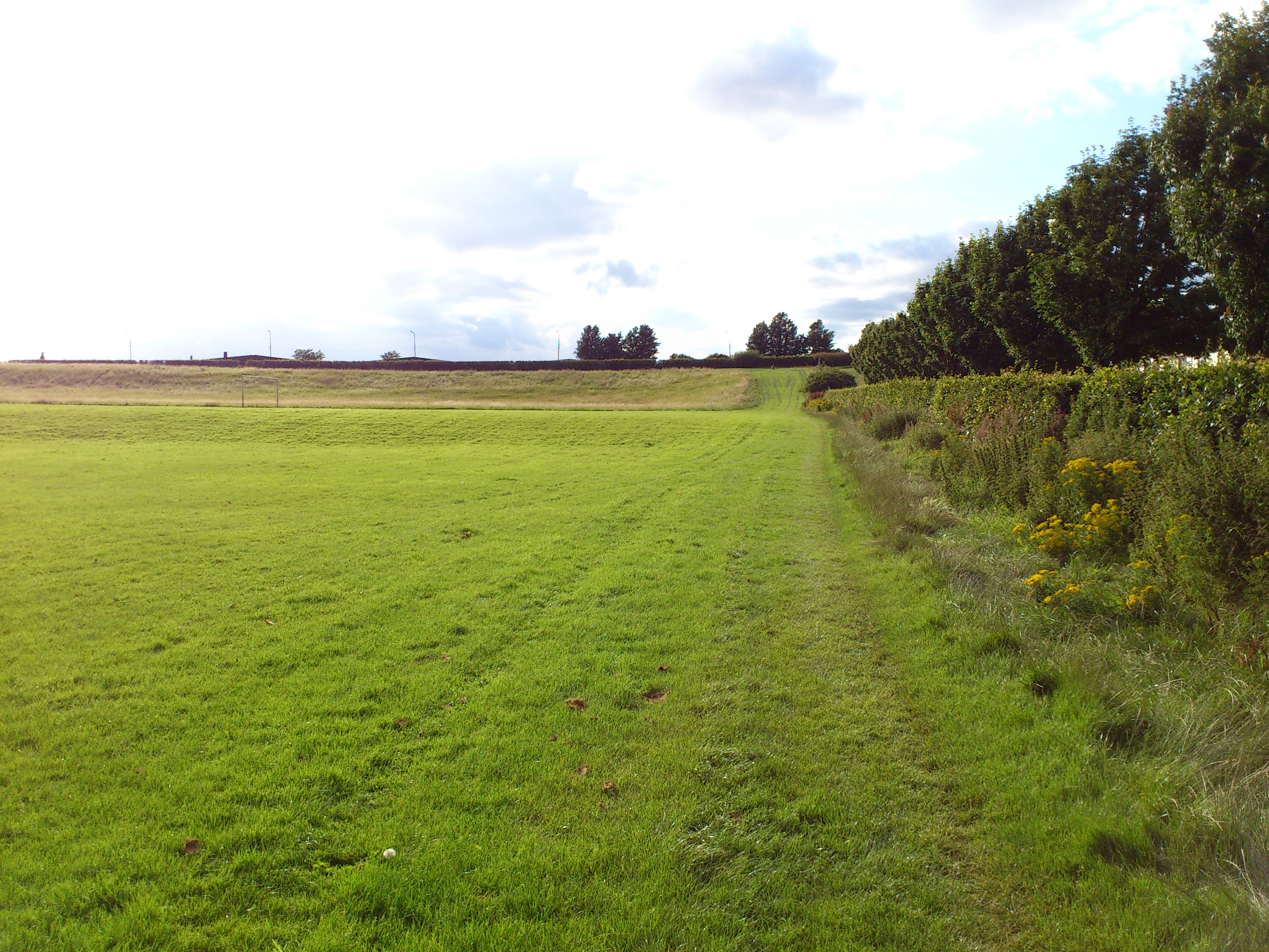
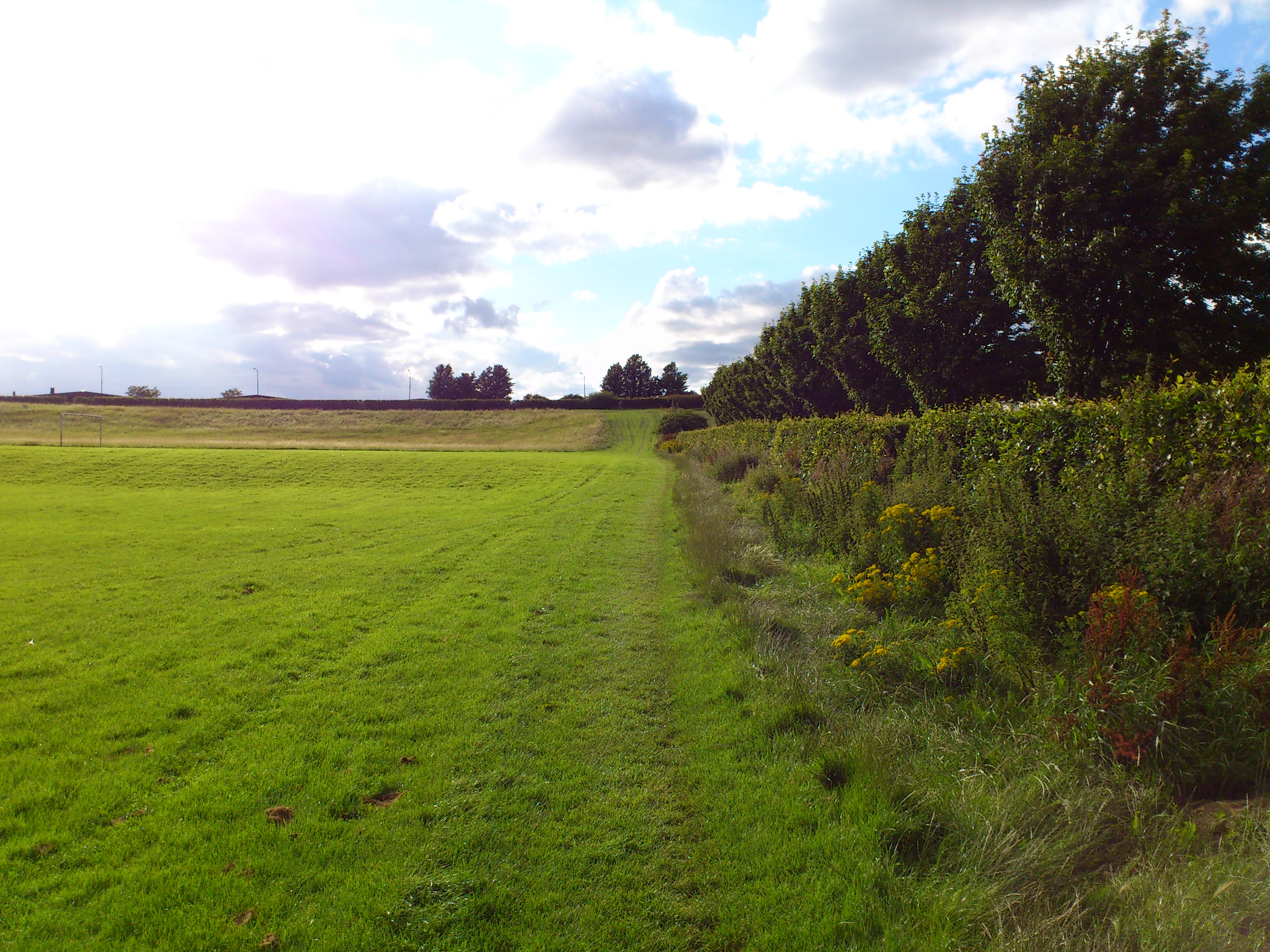
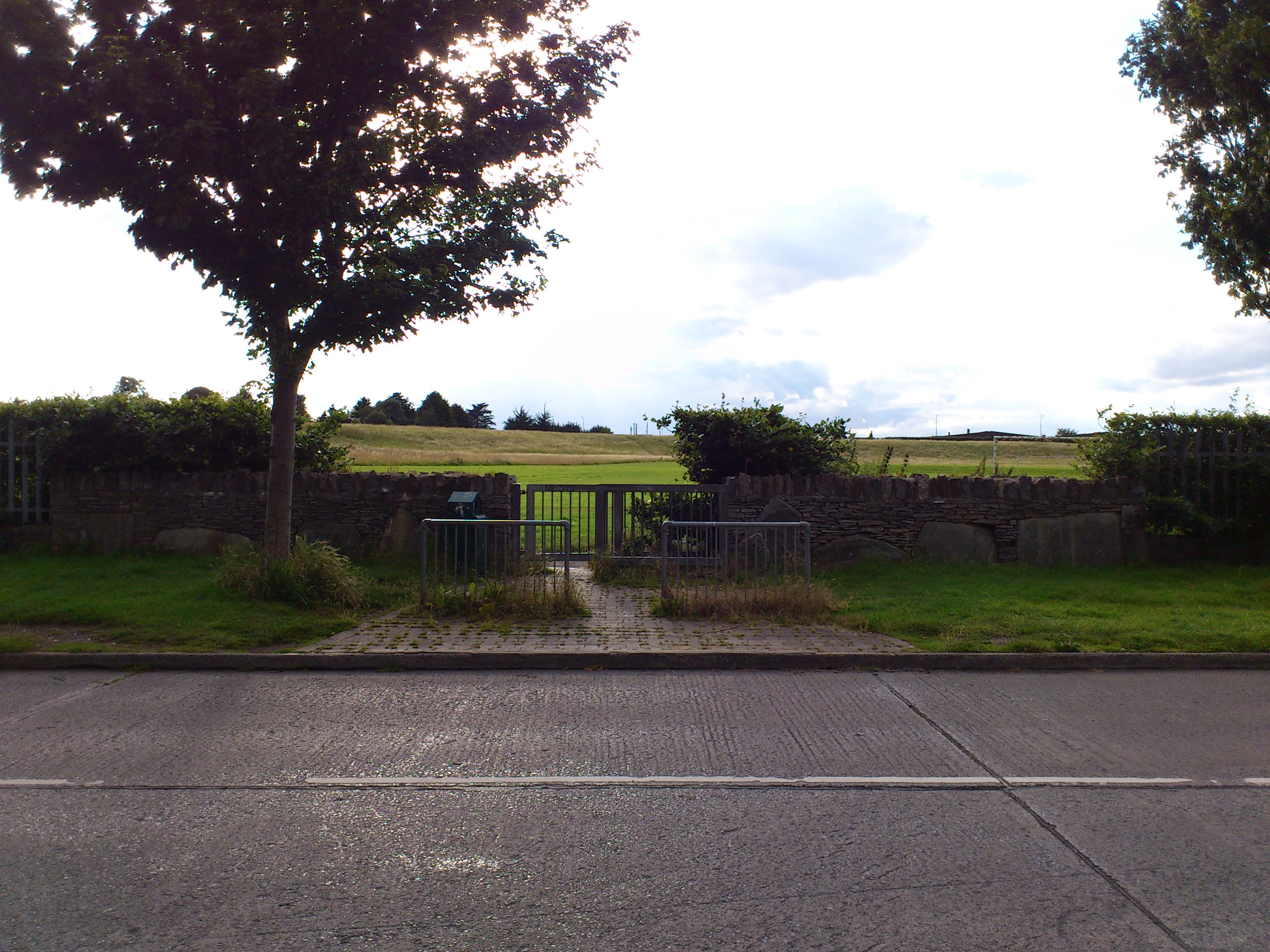
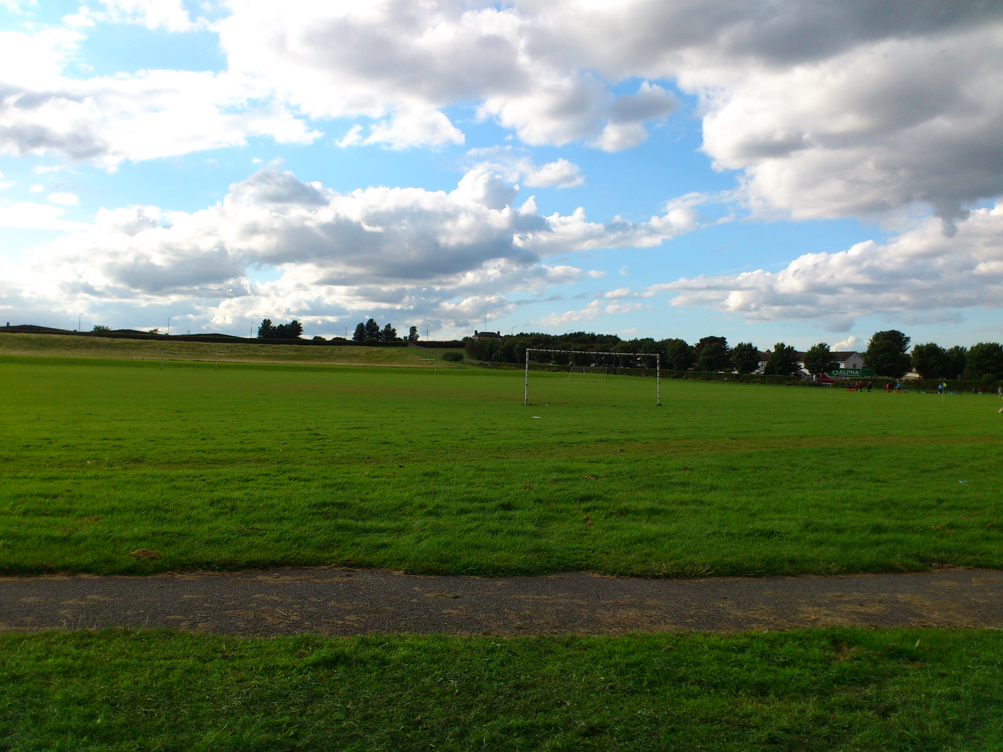
View inside the park, looking uphill towards the road.
The narrow neck is the opening of the farm, where the house was.
Photo 2012.
See full size
and other shot.
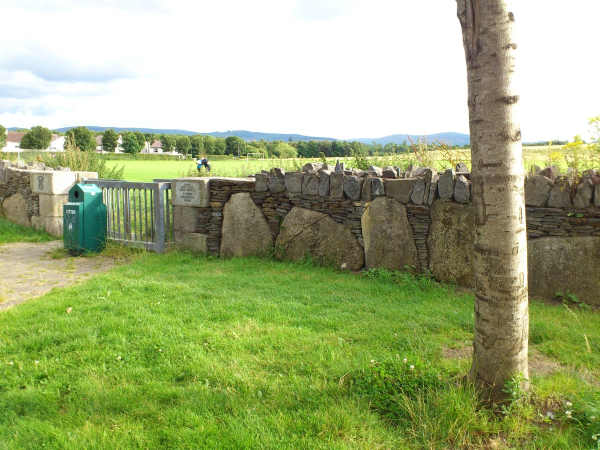
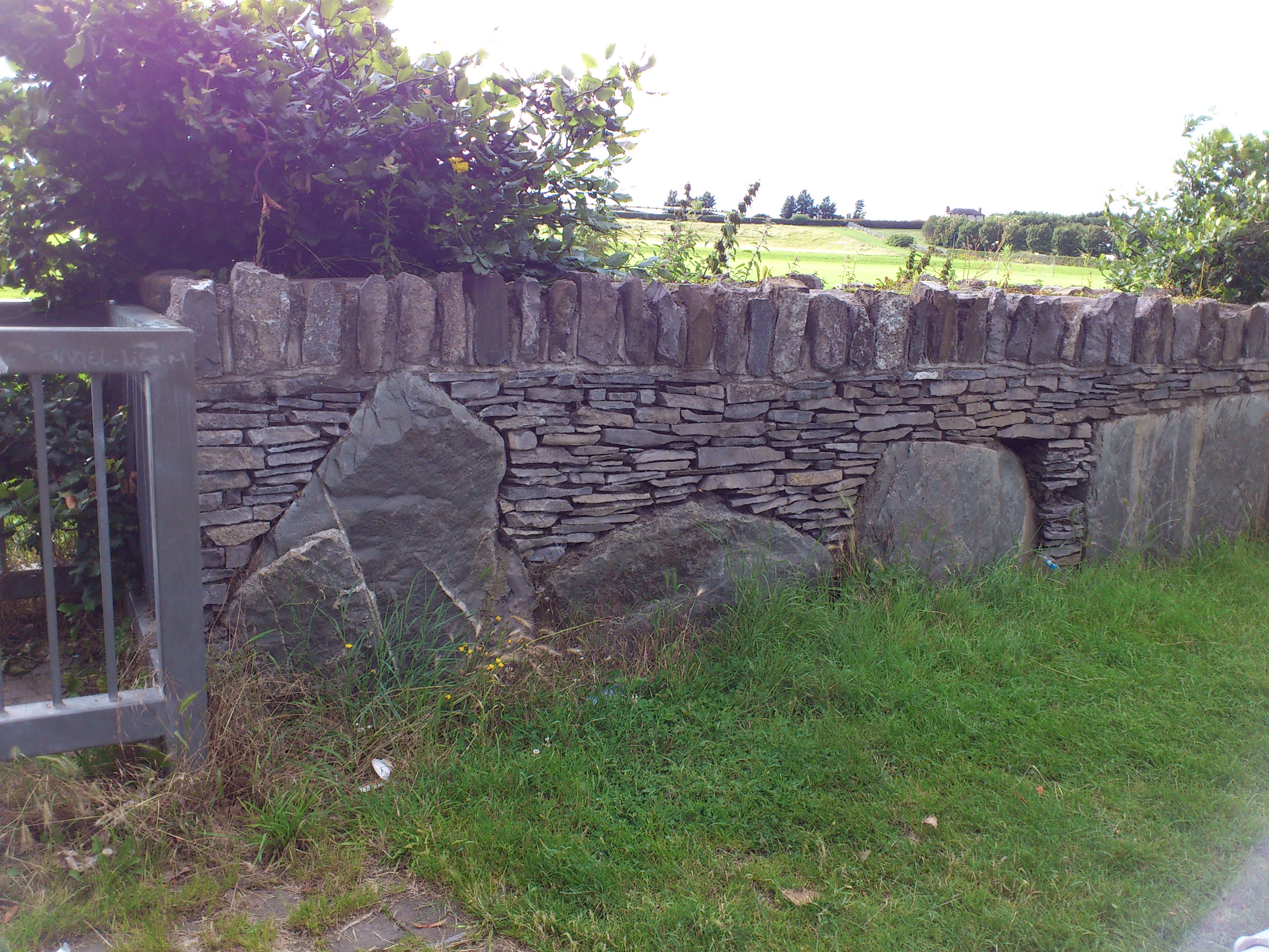
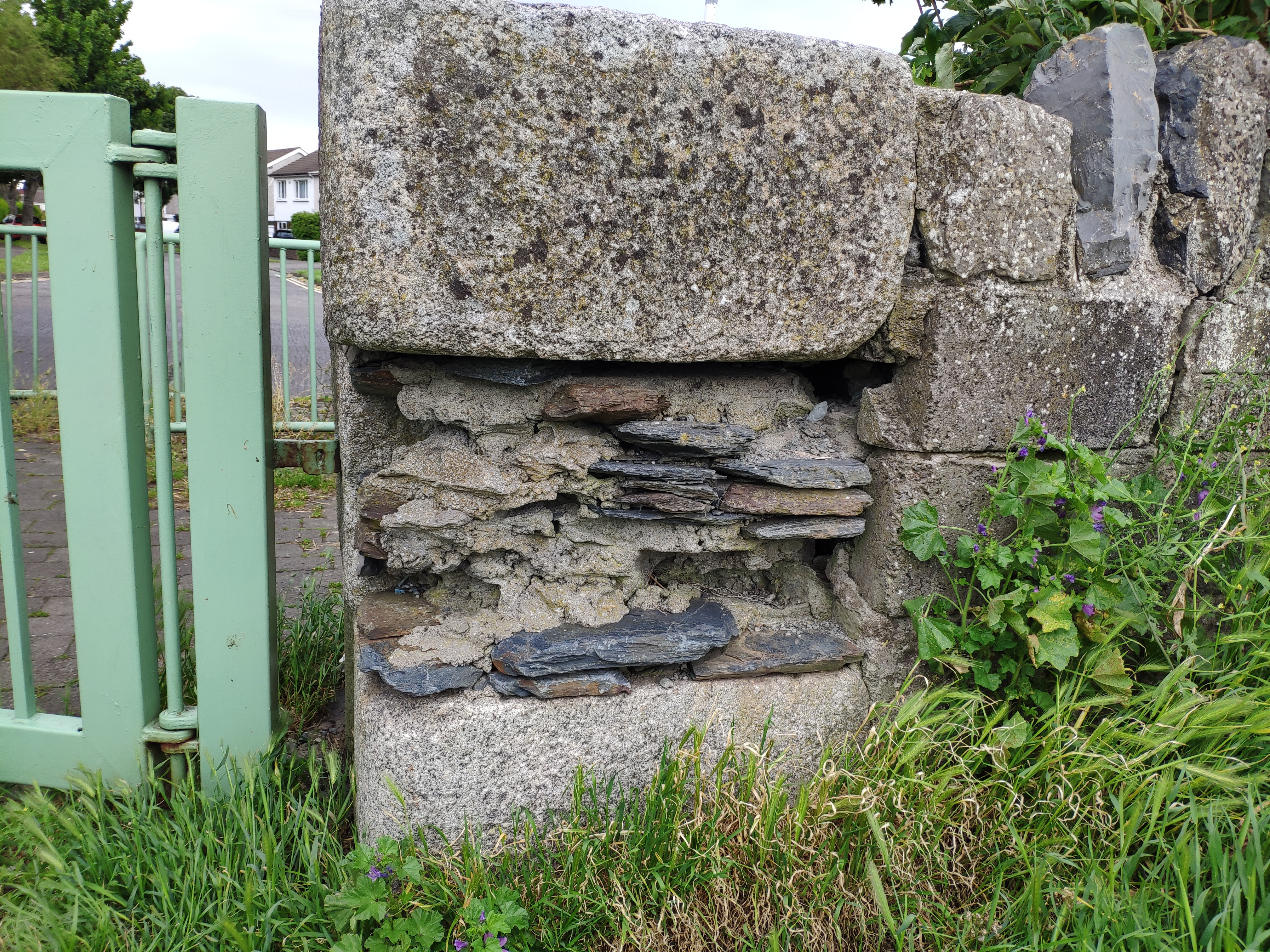
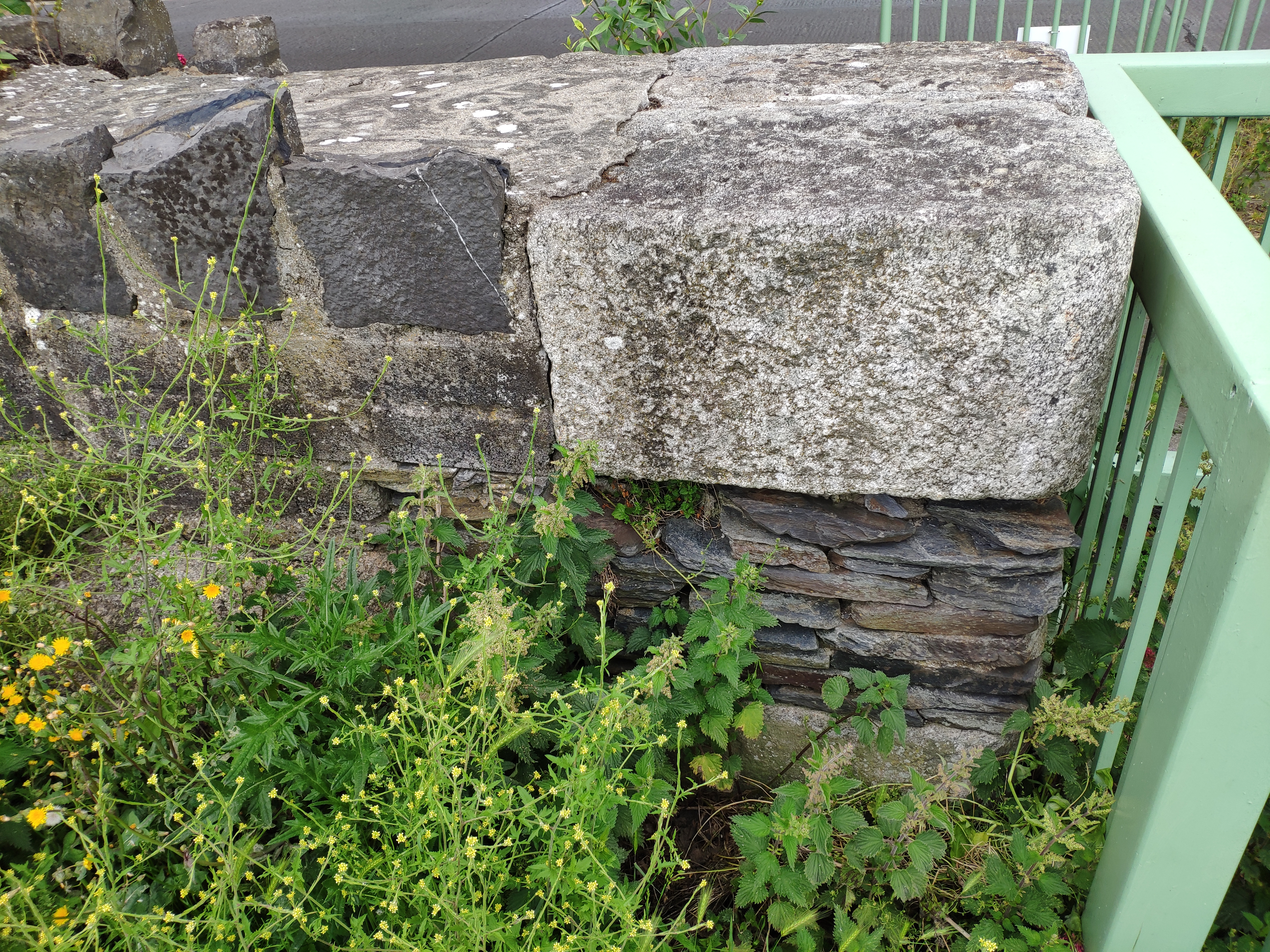
N entrance to the park.
Photo 2012.
See full size.
See
similar wall
at SE entrance to the park.
And wider shot.
About the only old landmark that survives is one house up on the W side of the road.
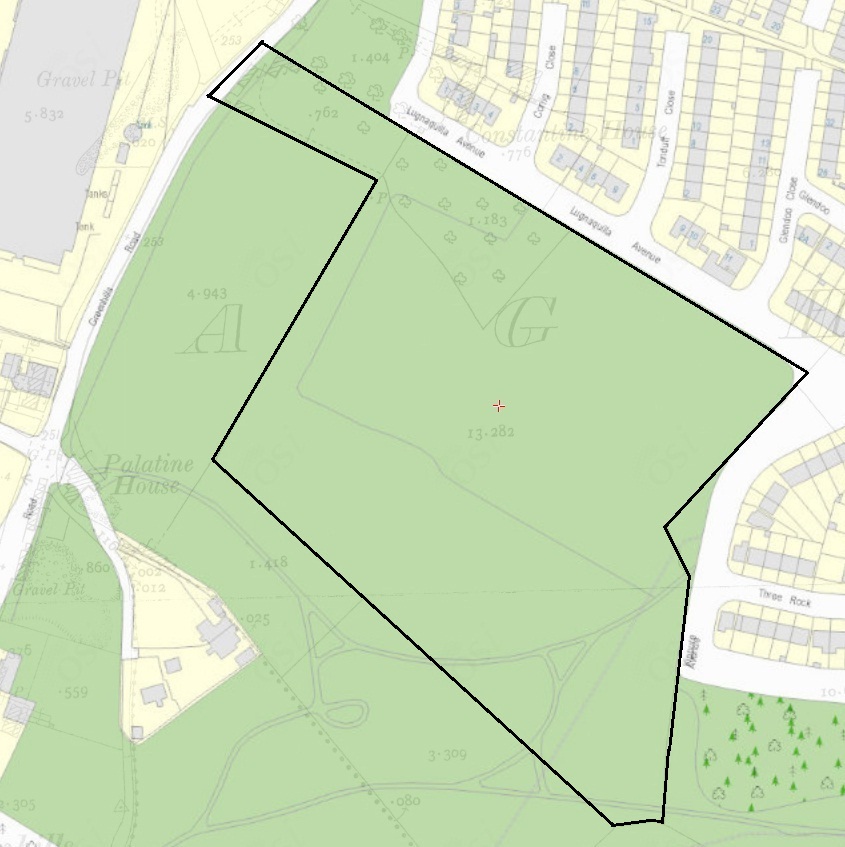
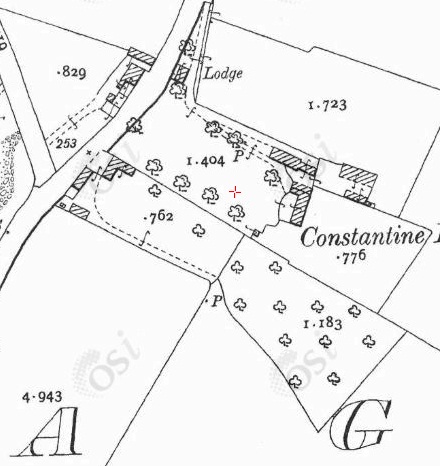
(To get your bearings, note that the red cross is the same position on both maps.)
Liam Cosgrave
recalled the Flanagan farm as further along the road to the S of this surviving house
(which matches plot 15)
though he thought the house was down the slope, not at the roadside.
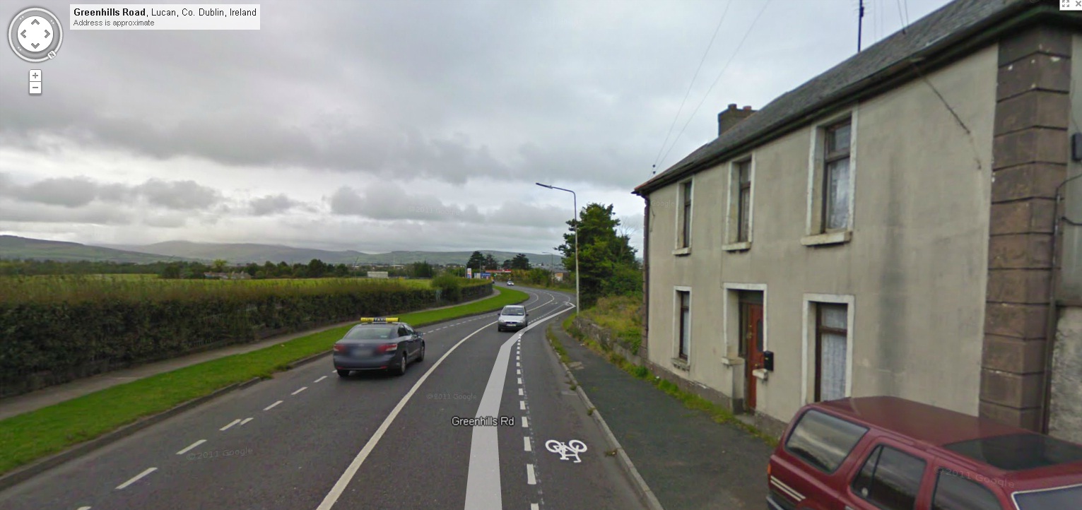
From
street view
of the old house up on the road, looking South.
Please donate to support this site.
I have spent a great deal of time and money on this research.
Research involves travel and many expenses.
Some research "things to do"
are not done for years, because I do not have the money to do them.
Please Donate Here
to support the ongoing research and
to keep this website free.
