Knocknagorteeny
was held by
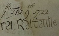
Sir Thomas Hackett
(died 1706).
Hourigan
apparently acquired tenancy of The Hill
from Sir Thomas Hackett
around the late 17th century.
Sir Thomas Hackett died 1706.
[Tierney, 1966, Ch.4]
shows the owners of his estate after him, leading later to Barrington.
The Hill was home of
Wiggy Hourigan
(fought in 1798, died before 1818).
Wiggy left it to his nephew
Pat Hourigan
before 1818.
Pat Hourigan is
listed
at Knocknagorteeny (The Hill)
in
[Tithe Survey, 1826].
He holds 53 acres.
The largest holding in the townland.
Pat died before 1851.
In
[Griffiths Valuation, 1851]
his widow
Mary Hourigan
holds 90 acres (largest plot in the townland of Knocknagorteeny) and a large house
(largest house in the townland).
[Griffiths Valuation, 1851]
shows that the landlord was Barrington.
The estate just to the S of it is the
Cloncurry
estate.
The Hill was inherited by Pat and Mary's son John Hourigan ("Big Johnny", bapt 1825, died 1874).
John Hourigan left The Hill to his cousin
Patrick Hourigan
(bapt 1849, died 1888).
The house at
The Hill
was rebuilt. This was said to be in the 1870s.
Though the old house seems to still be shown on the OS map (1887 to 1913).
Home of Patrick's son
John Hourigan
(bapt 1876, died 1959).
Home of his son
Patrick Hourigan
(born 1916, died 1985).
Hourigan still at The Hill today.


The Hill, Knocknagorteeny, on
1829 to 1842 map.
The old road is to the N.


Extract from Knocknagorteeny (The Hill)
in Abington par, p.12, in
[Griffiths Valuation, 1851].
Mary Hourigan
holds 90 acres (largest plot in the townland) and a large house
(largest house in the townland), and leases out a small plot.

The Hill on the
[Griffiths Valuation]
map at askaboutireland.ie.
The plot numbers do not match the numbers in the text.
It can be seen that plot 13 here is plot 14 in the text, The Hill.

The Hill, Knocknagorteeny, on
1887 to 1913 map.
Still only one road, to the N.
The house here stops in line with the N edge of the large farm building.
Today: The house has been rebuilt and extended. The large farm building survives. The other farm building to the NE is gone.

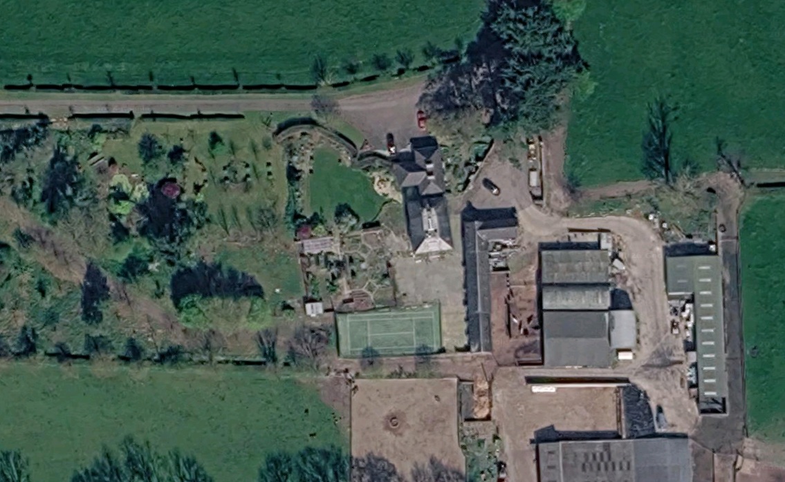
Close-up of the above shows the house has been rebuilt and extended to the S.
Formerly the house stopped in line with the N edge of the old farm building.
Now the house extends further S.
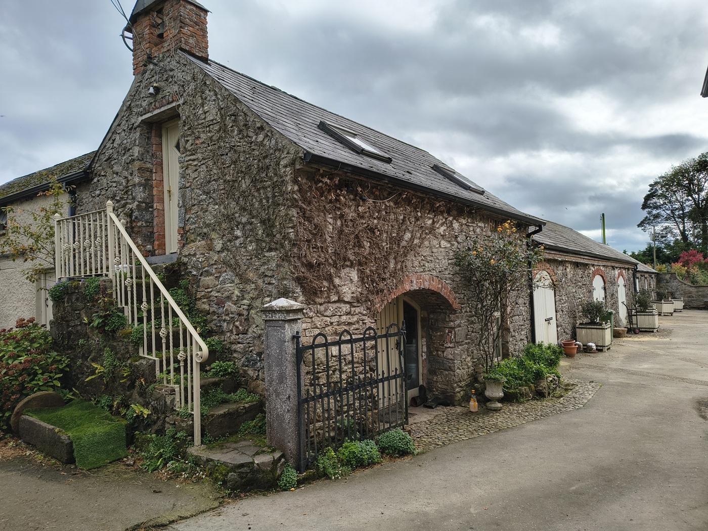
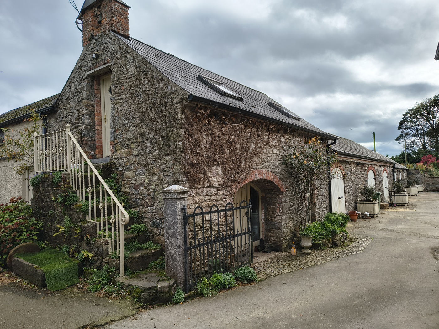
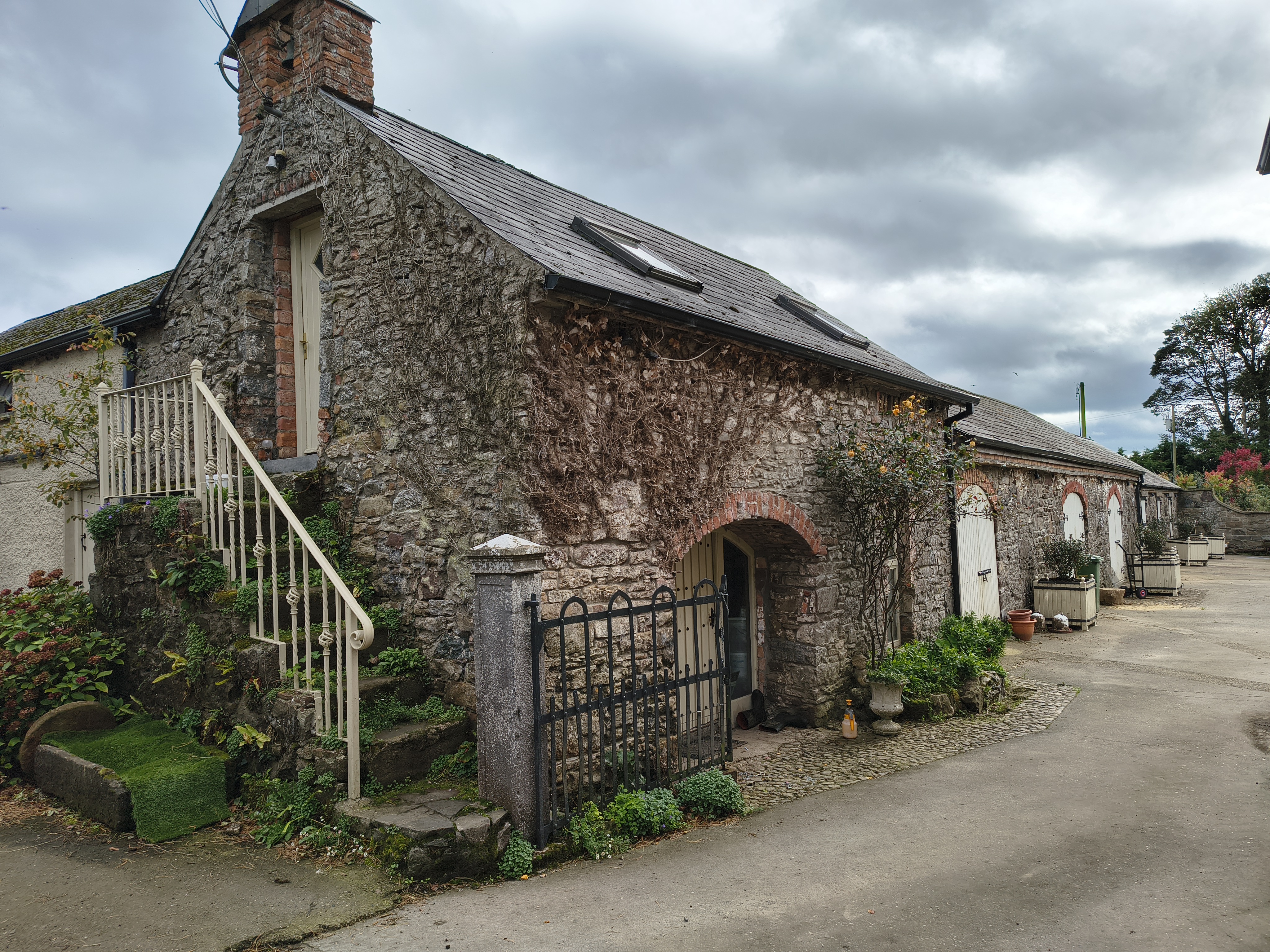
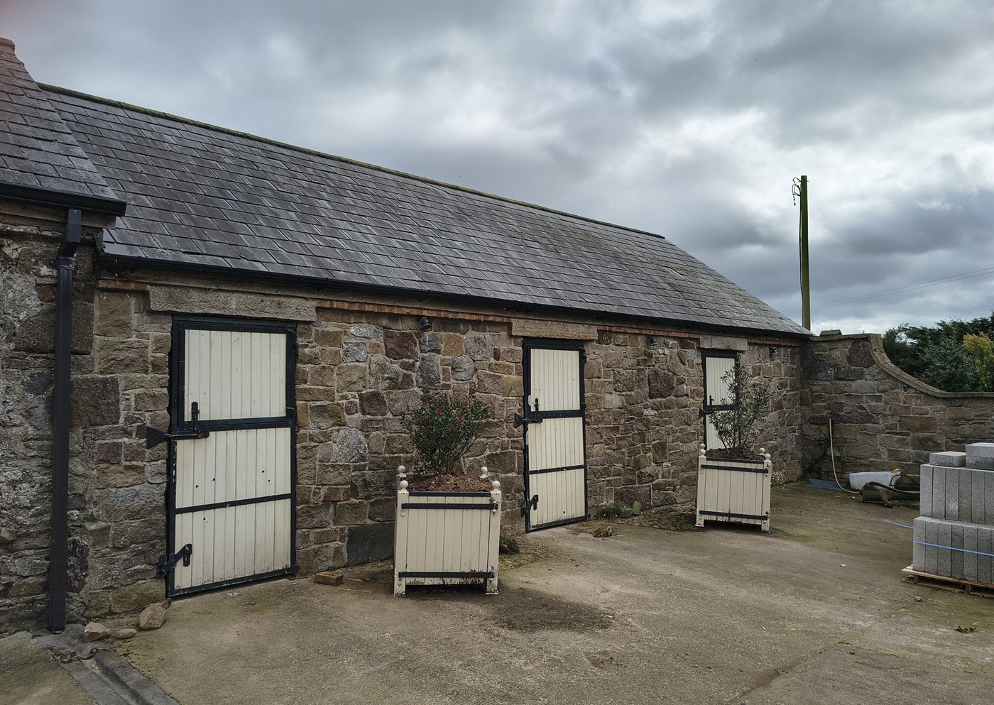
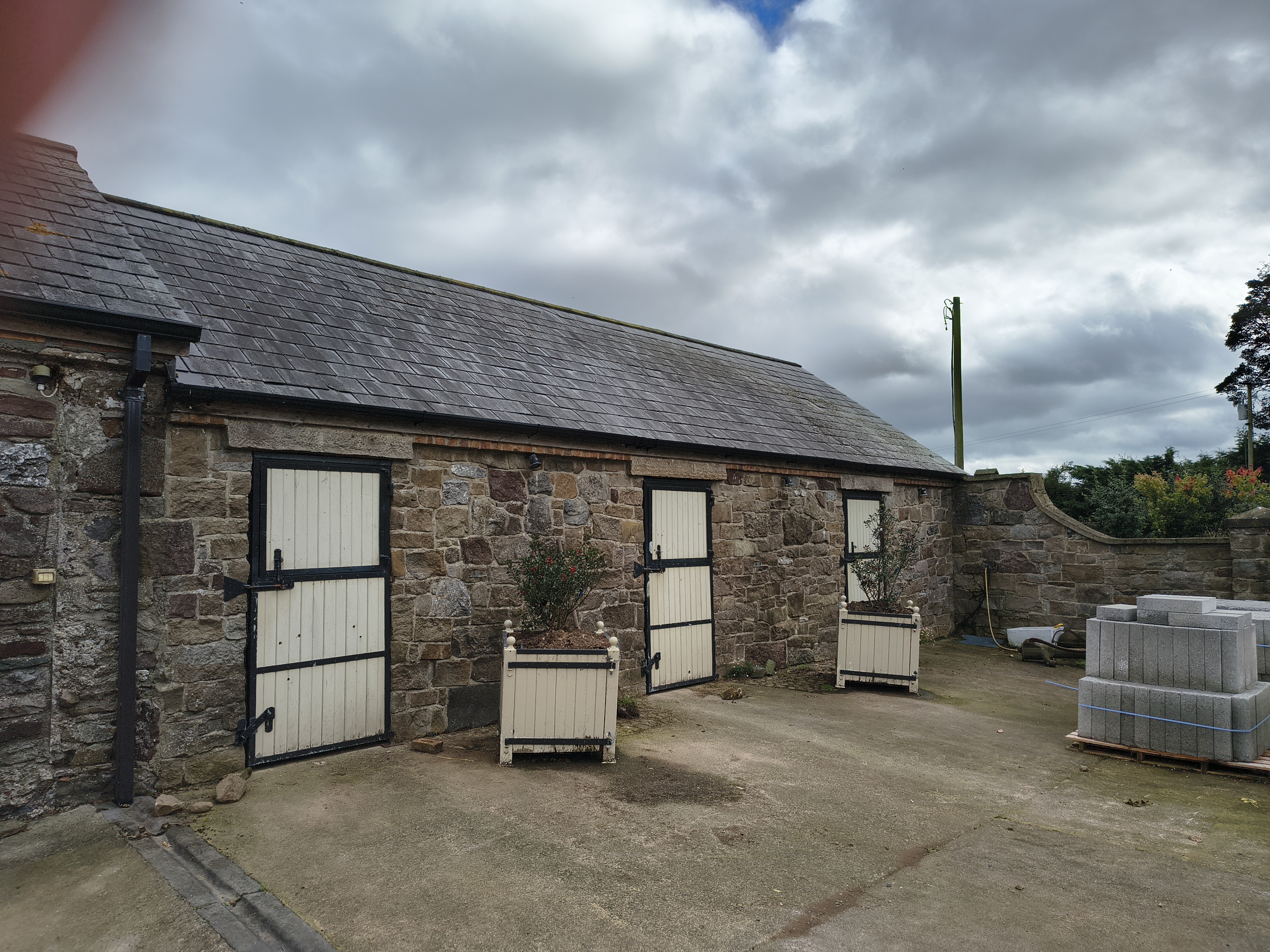
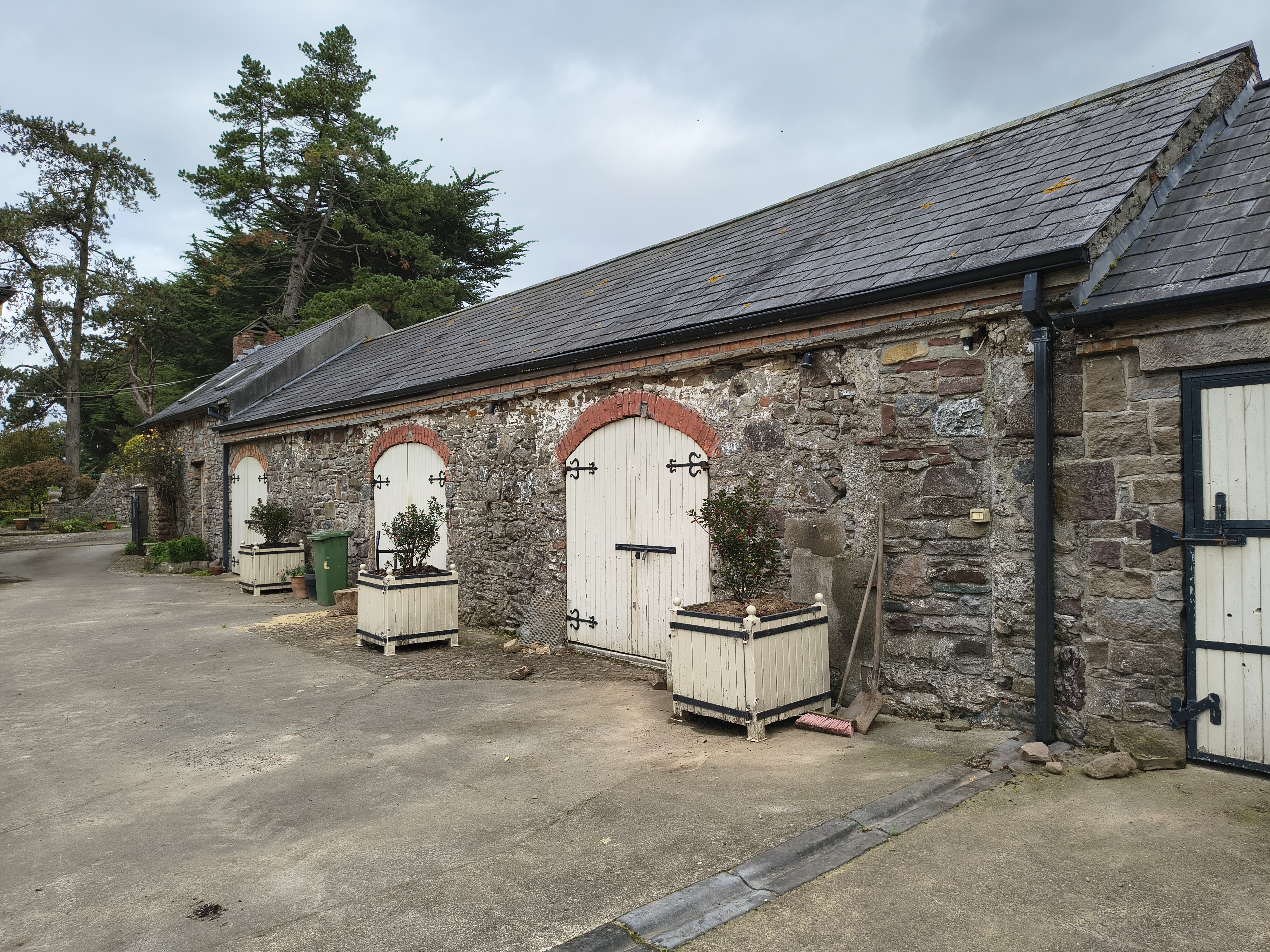
The old farm building.
View from the N looking S.
Photo 2026.
See larger
and full size.
See N end.
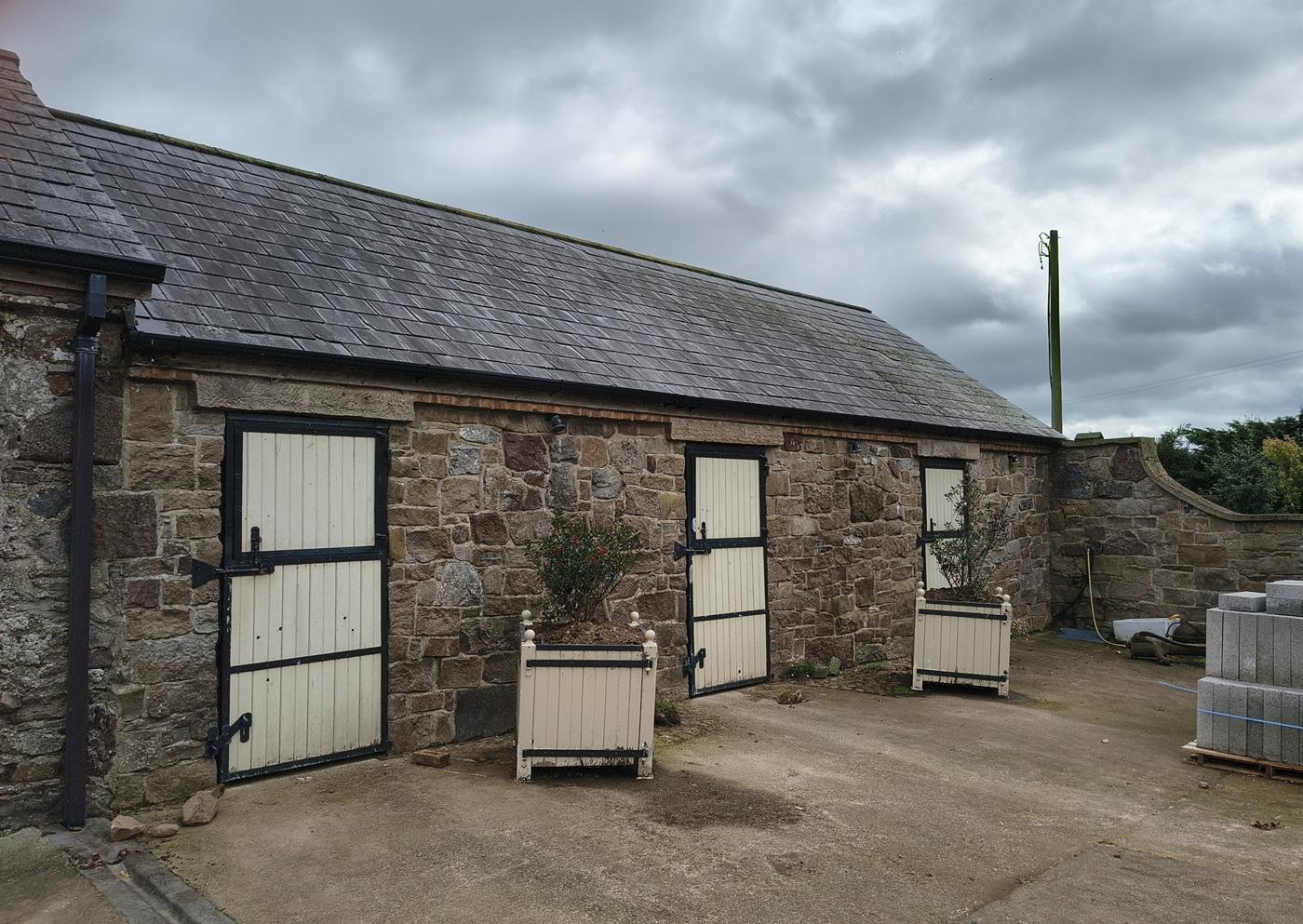
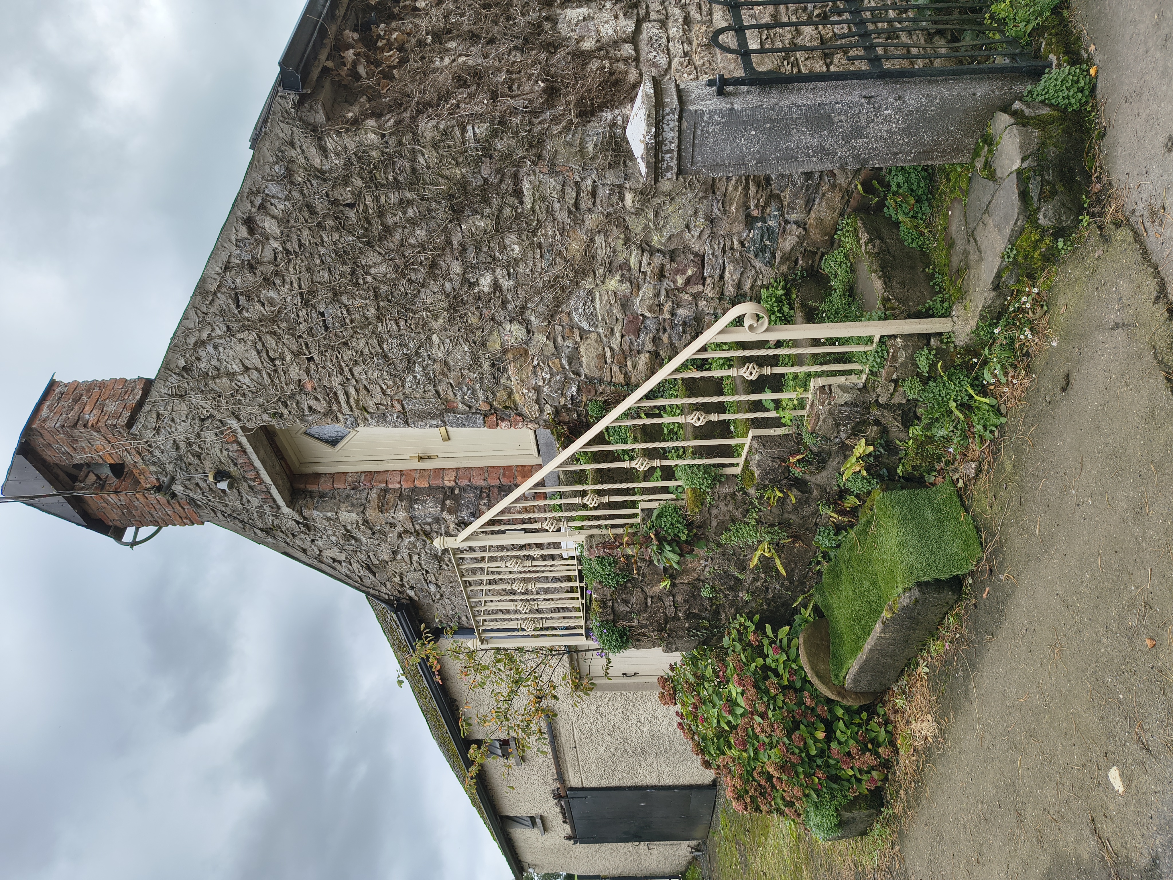
The building at the S end has been re-faced.
But inside it is the old farm building.
Photo 2026.
See larger
and full size.
See wider view.
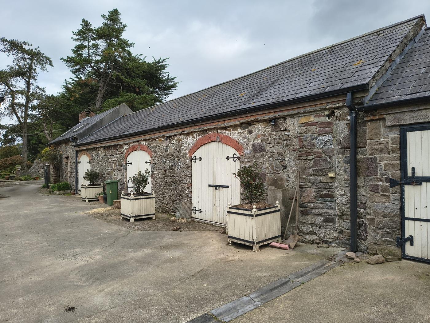
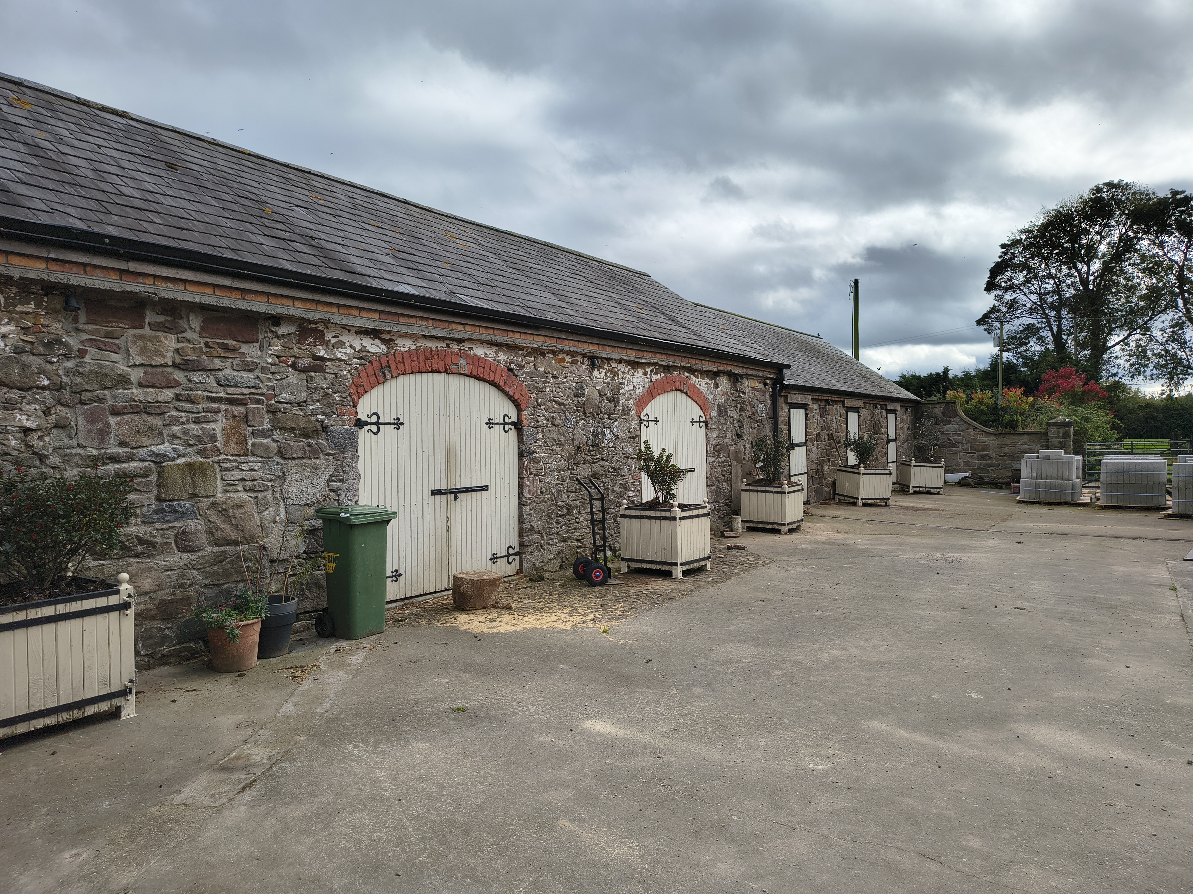
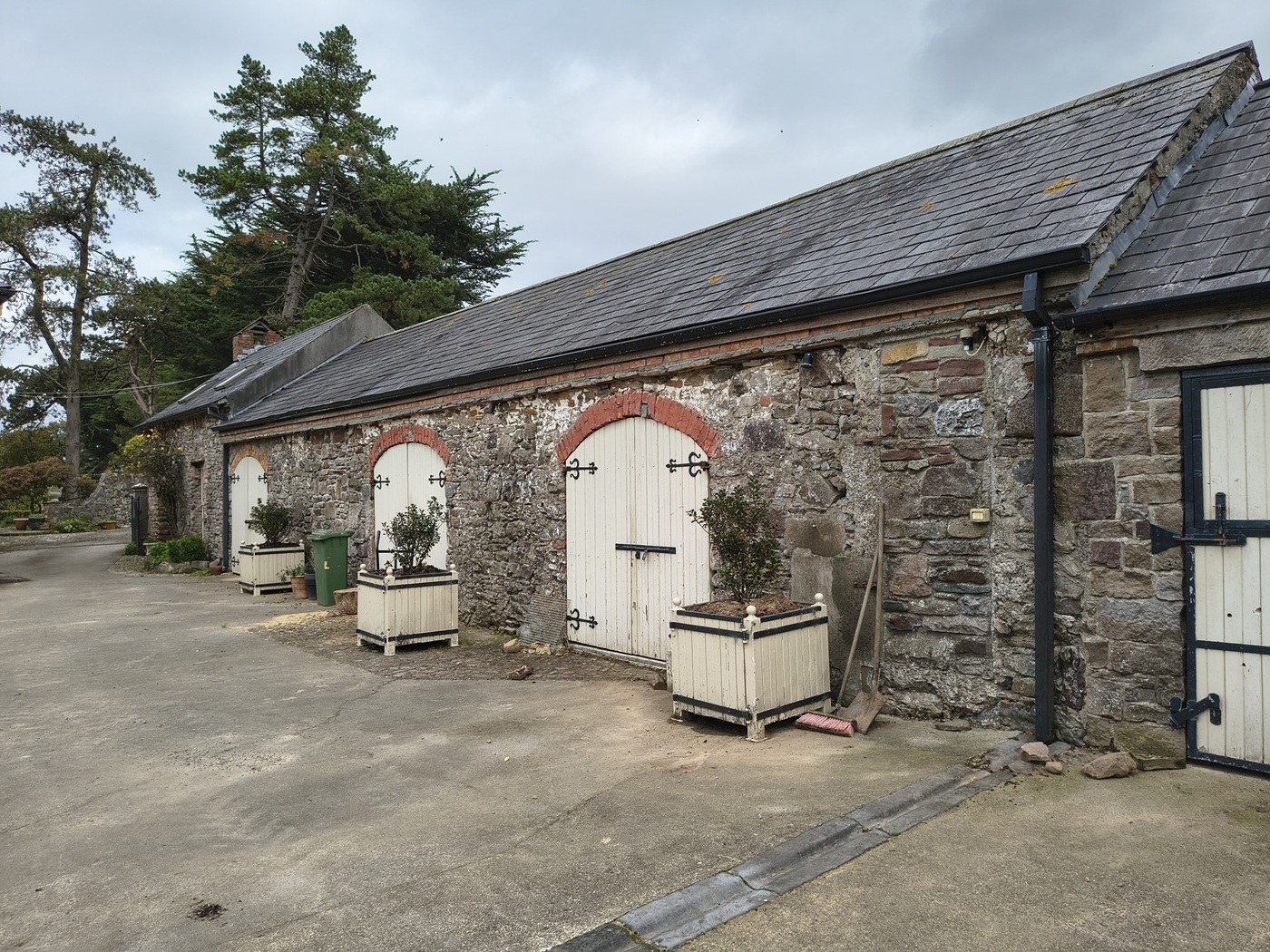
The old farm building.
View from the S looking N.
Photo 2026.
See larger
and full size.
The gate into The Hill from the N.
The gate was built in 1848.
The pike design commemorates Wiggy Hourigan and 1798.
Click to rotate.
From Google
street view.
See
street view
of the W gate.
Please donate to support this site.
I have spent a great deal of time and money on this research.
Research involves travel and many expenses.
Some research "things to do"
are not done for years, because I do not have the money to do them.
Please Donate Here
to support the ongoing research and
to keep this website free.