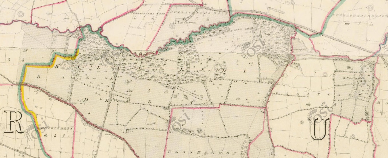
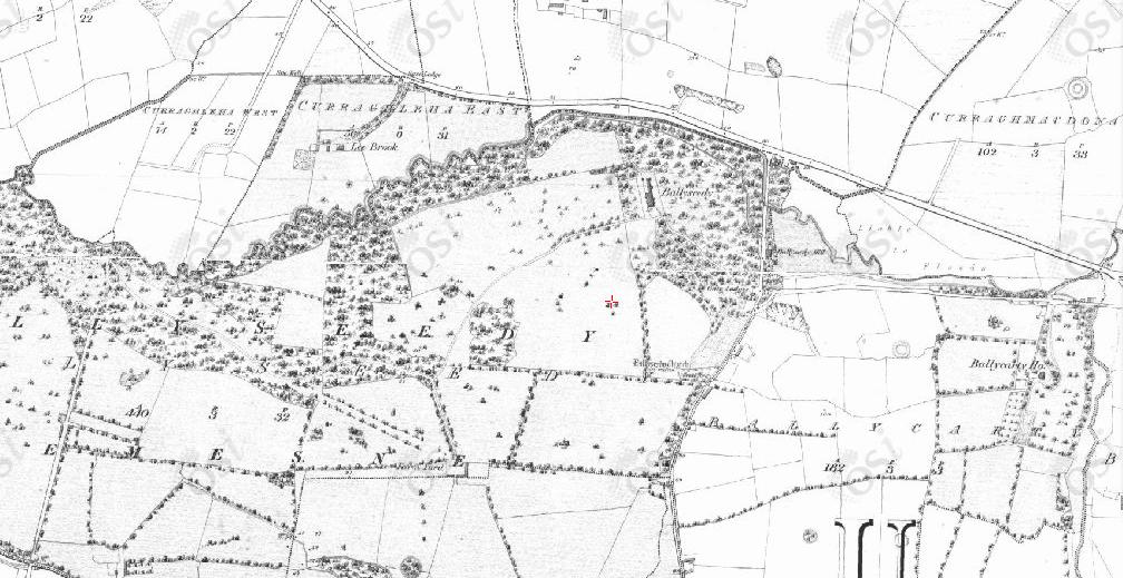
Ballyseedy on
1887 to 1913 map.
See wider view
with Ballycarty.
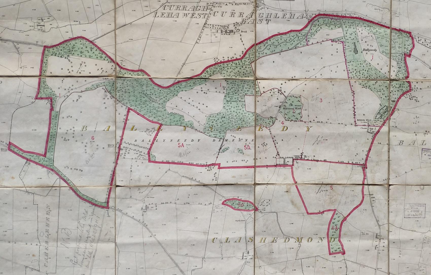
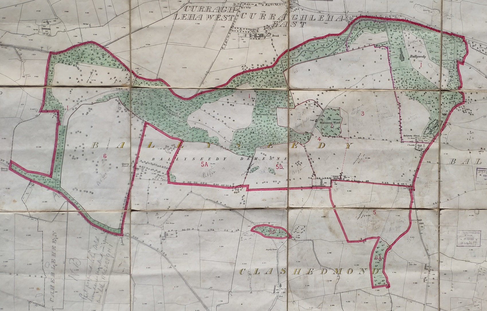
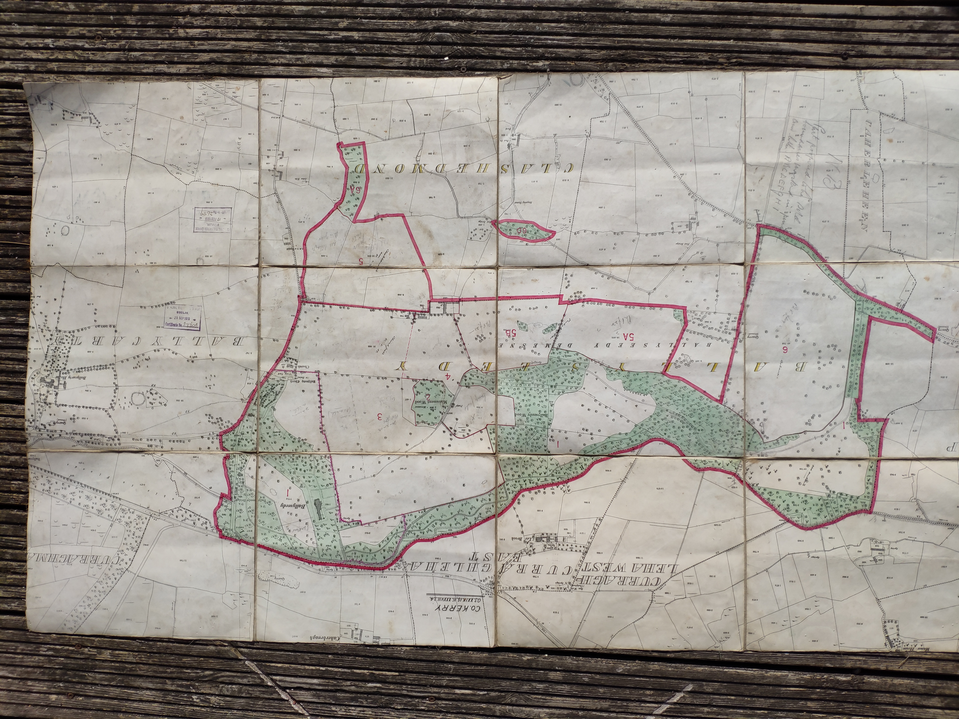
The Blennerhassett estate at Ballyseedy marked on a copy of the above map.
With stamp apparently dated 1919.
Map inherited by
7th Baronet
when he inherited Ballyseedy in 1965.
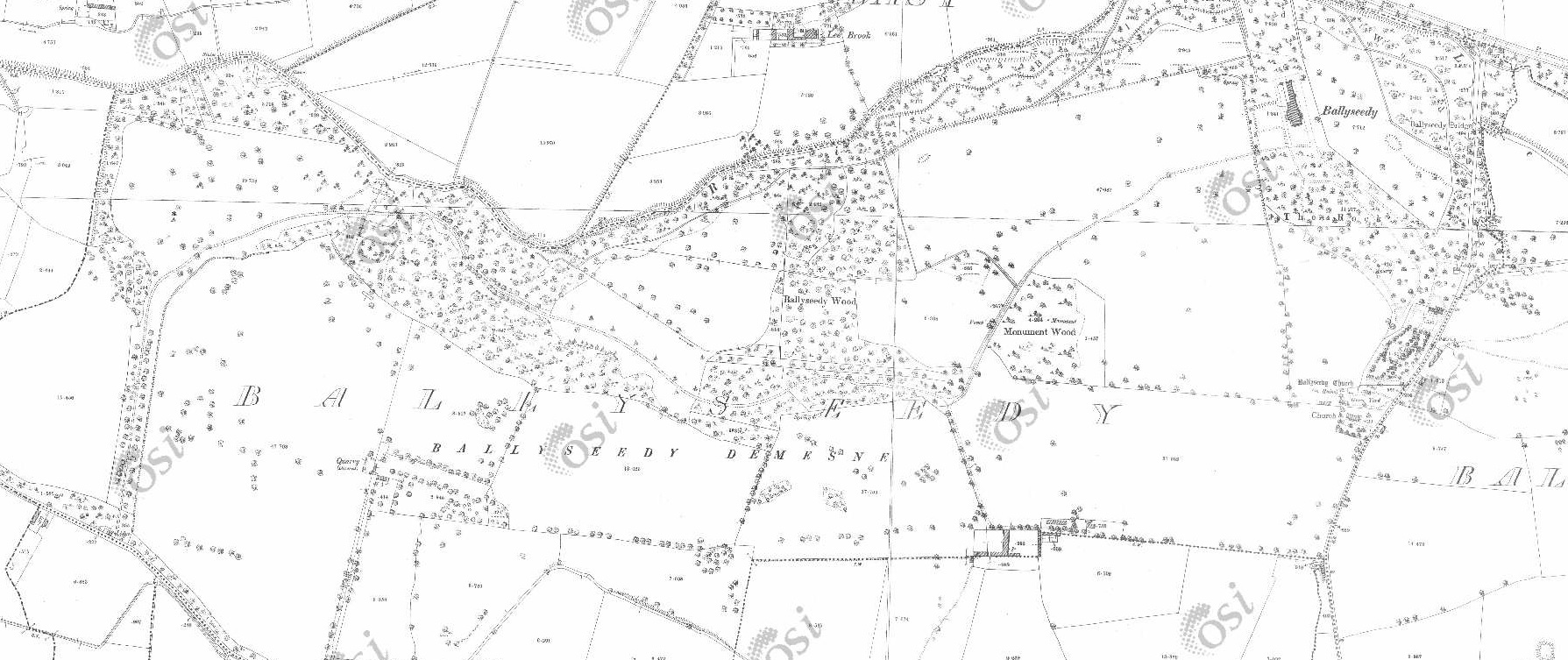
See larger
and full size.
See modern
satellite view.
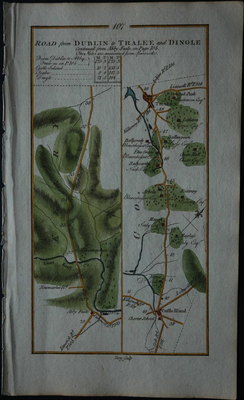
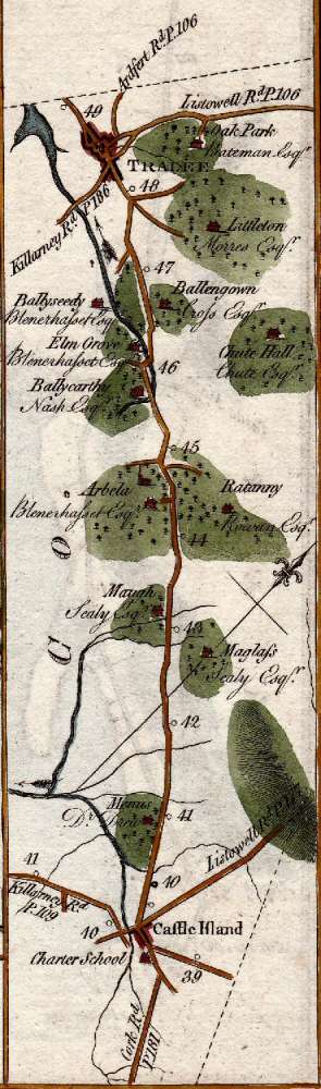
Ballyseedy Wood
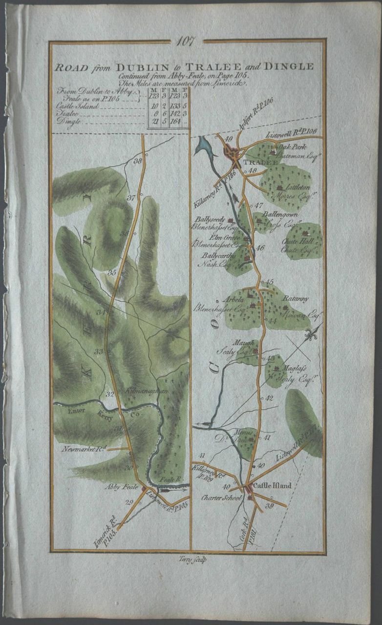
is SE of Tralee, Co.Kerry,
S off the
main Tralee-Killarney road (the N21),
on the small River Lee.
There is a turning off the N21 at the E end of Ballyseedy Wood,
which I shall call the E side road.
See street view.
There is a car park on the N side of the woods.
See street view.
There is another car park on the S side of the woods.
See street view.
Ballyseedy townland, Ballyseedy par,
is the area W of the E side road.
It covers from the W end of the wood to the E end of the wood
(at the E side road).
Ballyseedy Bridge over the river
is at the E edge of Ballyseedy townland,
on the E side road.
In Ballyseedy townland:
Old Ballyseedy (ruins) is at the W end of the wood, in the NW end of Ballyseedy townland.New Ballyseedy (formerly called Elm Grove or Elmgrove) is at the E end of the wood, in the NE end of Ballyseedy townland, off the E side road.
On the E side road is the 19th century Protestant Ballyseedy church, with the old ruined Ballyseedy church.
Ballycarty townland (or sometimes Ballycarthy), Ballyseedy par,
is the area E of the E side road.
Ballycarty Bridge over the river (or Ballycarty Cross)
is at the NE corner of Ballycarty townland,
on the main road.
In Ballycarty townland:
Ballycarty Castle was in the NE end of Ballycarty townland.
Please donate to support this site.
I have spent a great deal of time and money on this research.
Research involves travel and many expenses.
Some research "things to do"
are not done for years, because I do not have the money to do them.
Please Donate Here
to support the ongoing research and
to keep this website free.
