| Blennerville House | Blennerville Windmill |
Blennerville was developed by Sir Rowland Blennerhassett, 1st Baronet (born 1740 or 1741, created Baronet 1809).
Rowland Blennerhassett lived 1788 to 1798 at
Churchtown House near Killarney,
but kept Blennerville
and leased property at Blennerville to various tenants.
The name Blennerville is seen in
[Deed, Aug 1792]
and
[Deed, 1794]
and
[Deed, 1794]
and
[Deed, Mar 1795]
and
[Deed, May 1795] and
[Deed, Jan 1797].
Rowland returns to live at Blennerville in
[Deed, Oct 1798].
He is listed there consistently from then until his death in 1821.
(He became Baronet in 1809.)
Blennerville was the old port for Tralee
(before the Tralee Ship Canal built).
In early 19th century, Blennerville was the centre of the
Munster grain trade.
Fine houses on Main St,
including the old house,
Blennerville House,
and newer Georgian houses like
King's house.
Blennerville went into decline in mid-late 19th century because of:


The first mention of the name "Blennerville".
Rowland Blennerhassett is described as of
Blennerville in
[Deed, Mar 1781].
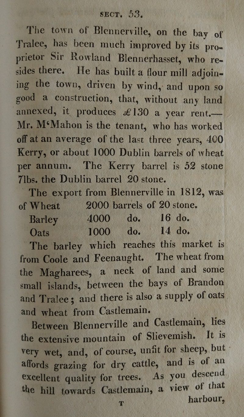
Blennerville appears in a farming tour of Co.Kerry in 1814.
From
[Radcliff, 1814, p.137].
See larger
and full size.

Blennerville on
1829 to 1842 map.

Blennerville on
1887 to 1913 map.
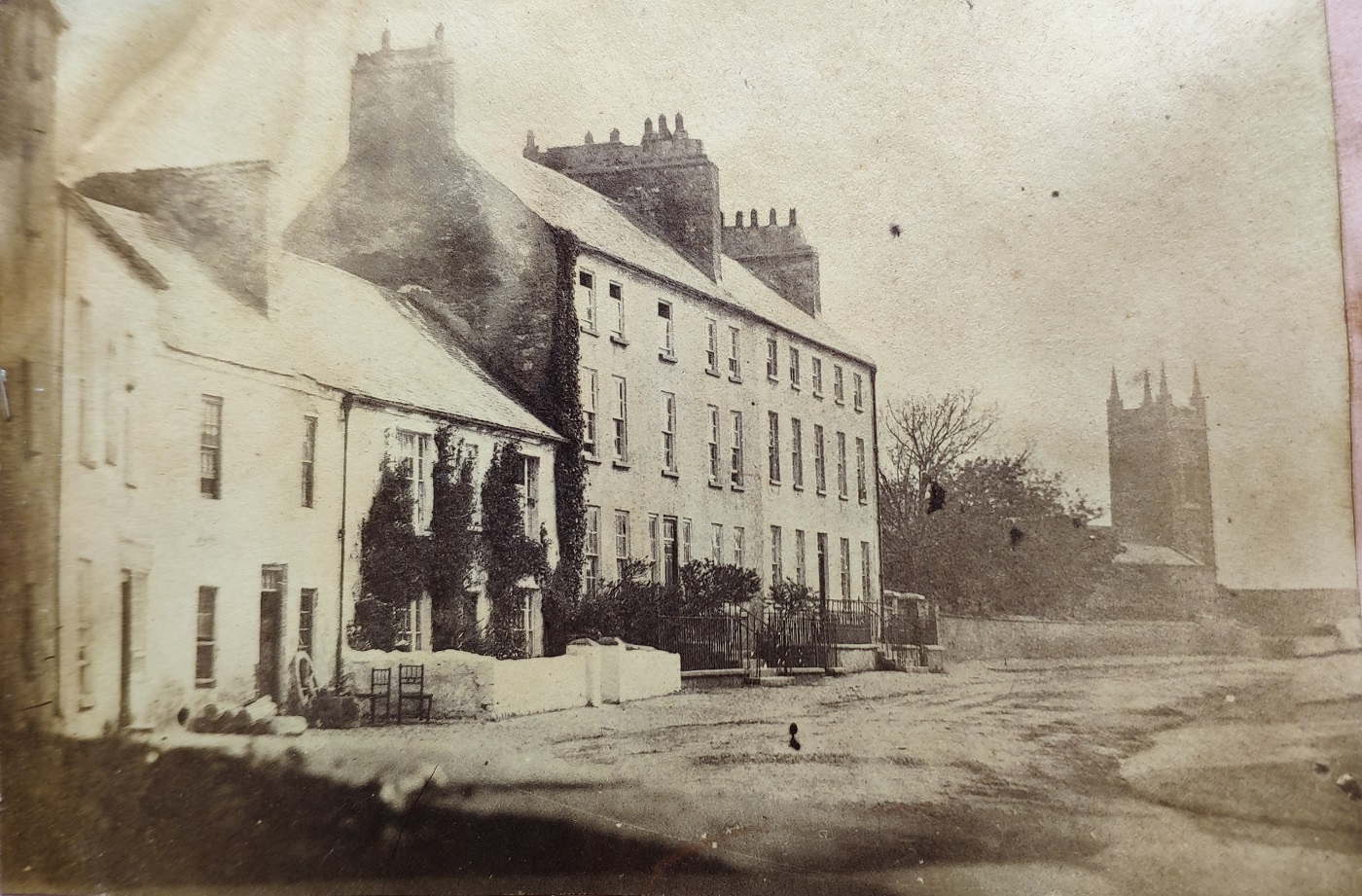
Photo of Blennerville, c.1860s.
In possession of Denny family.
Shows
King's house
and the
now vanished church.
See larger
and full size.
See
street view
of same location today.
The church is gone.
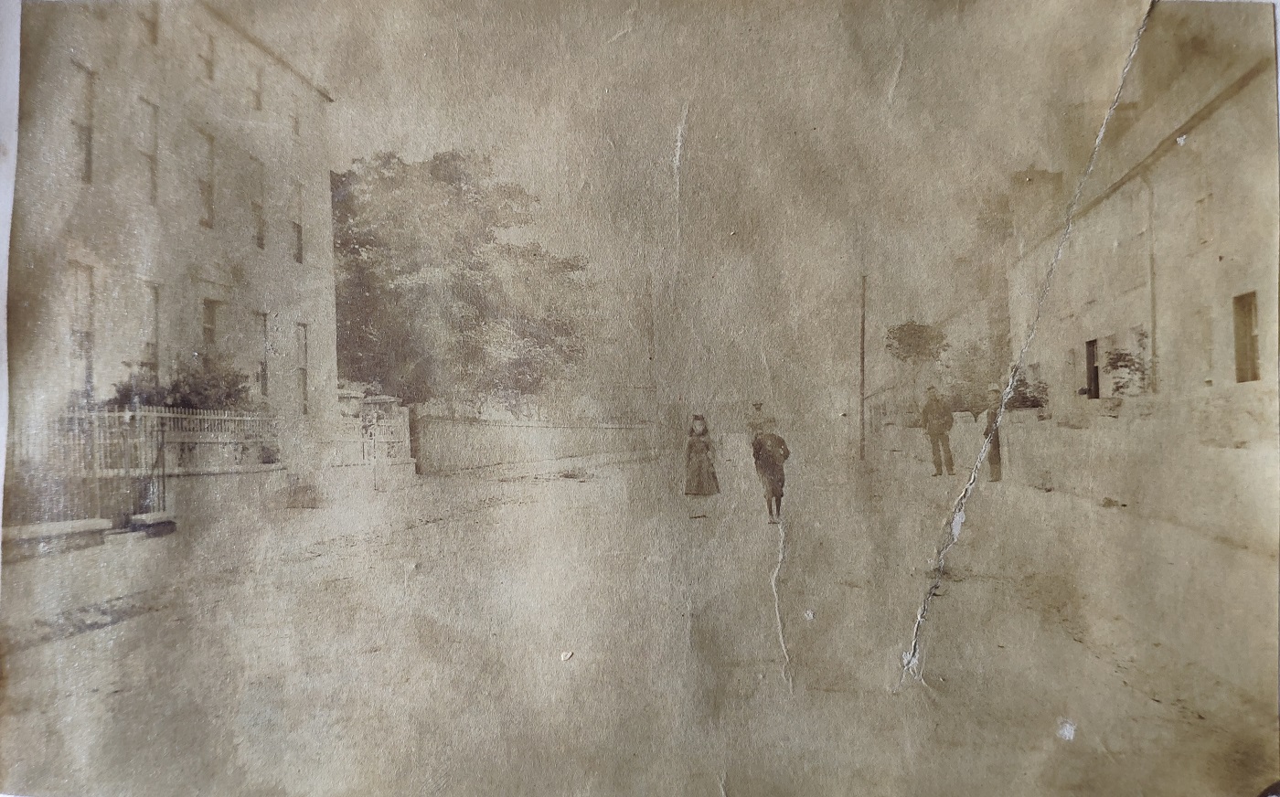
Photo of Blennerville, c.1860s.
In possession of Denny family.
Roughly the same spot as above.
See larger
and full size.
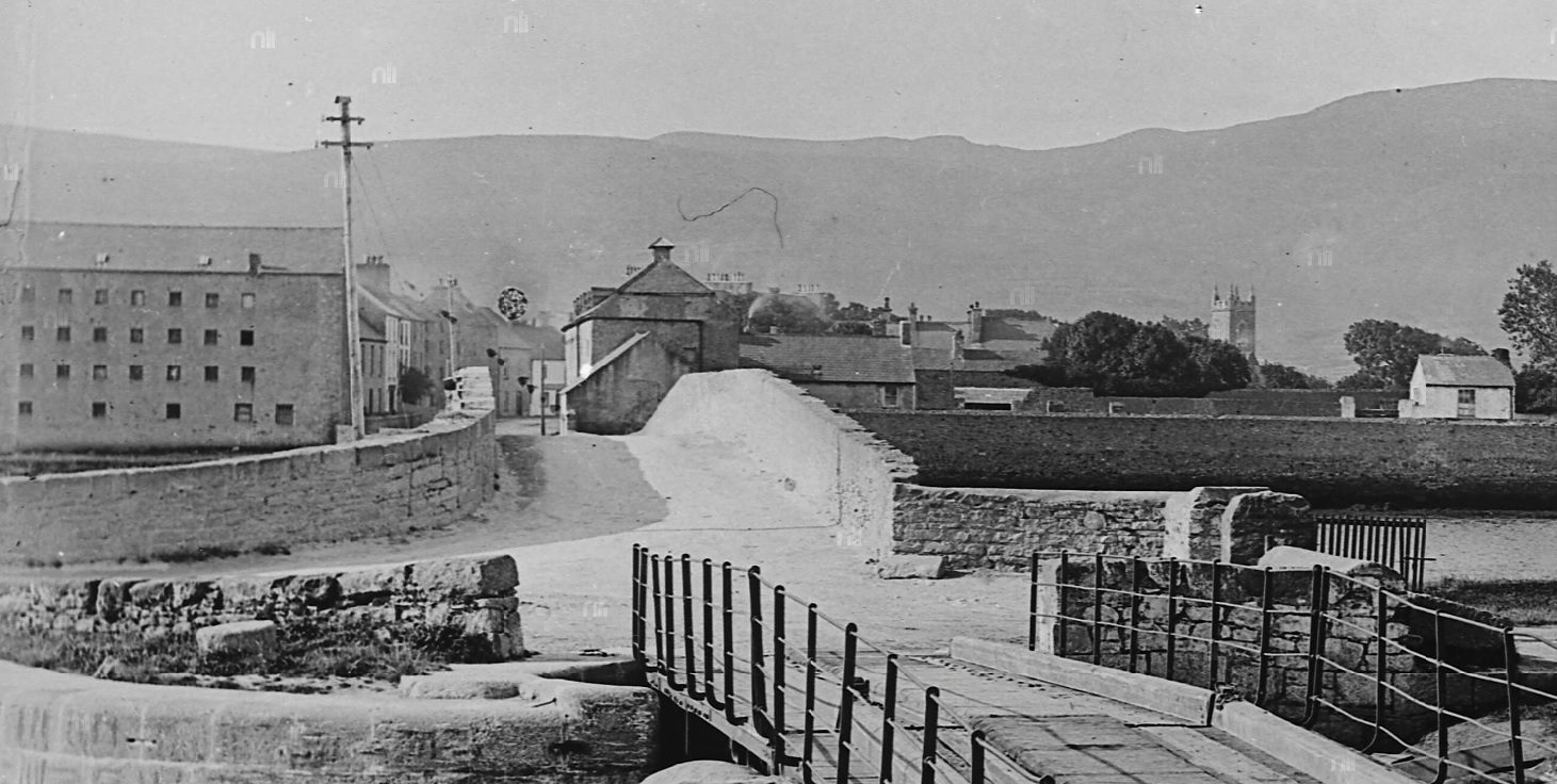
Blennerville, c.1870-1890.
Main street visible. Also the now-vanished church.
From The Eblana Photograph Collection.
From NLI.
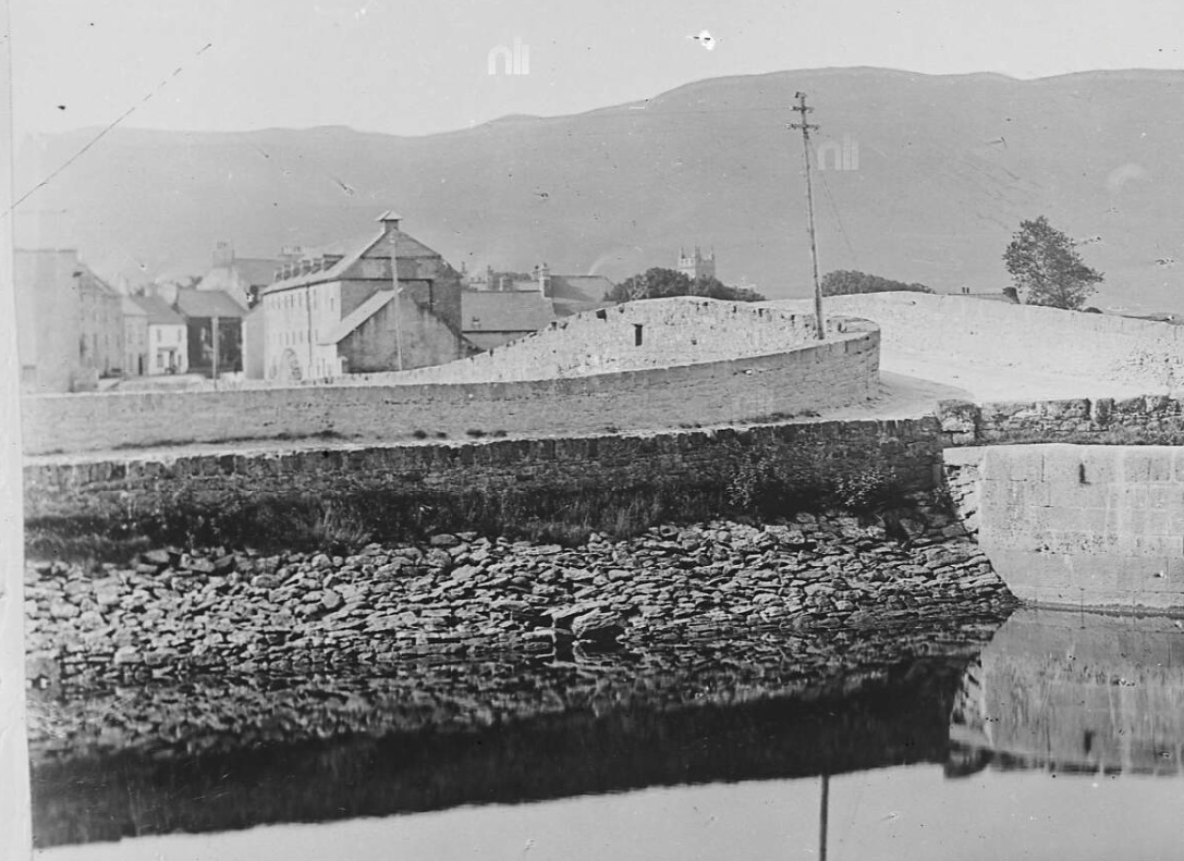
Blennerville, c.1870-1890.
Main street visible. Also the now-vanished church.
From The Eblana Photograph Collection.
From NLI.
And another similar shot
from NLI.
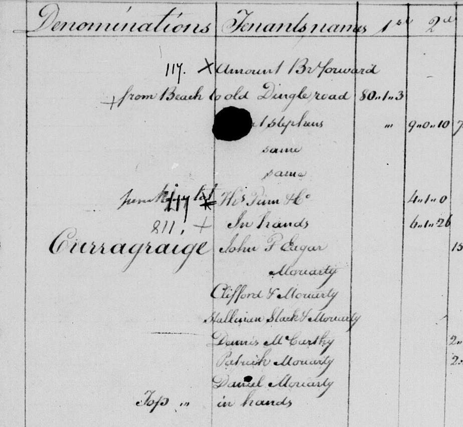
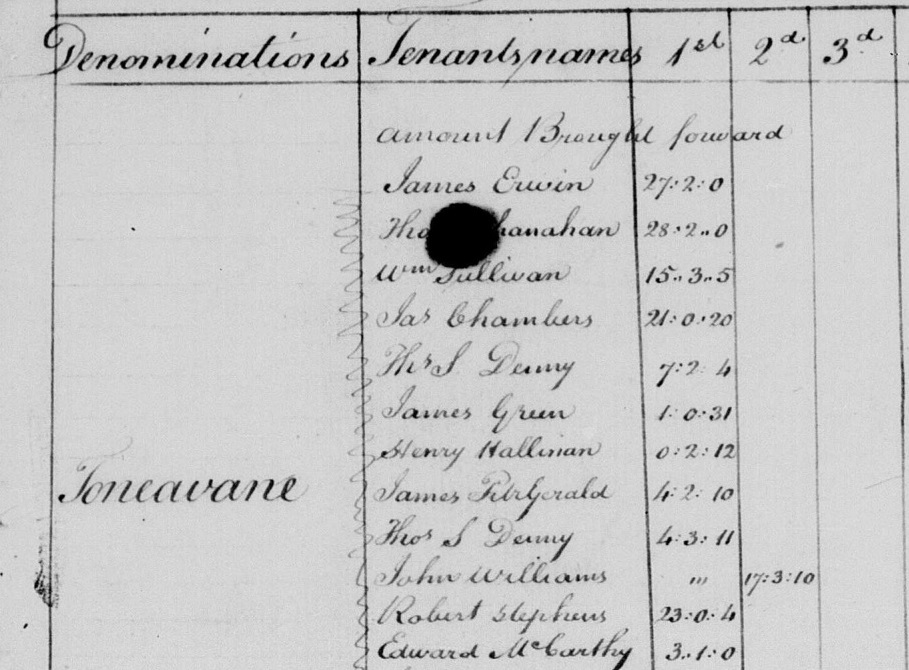
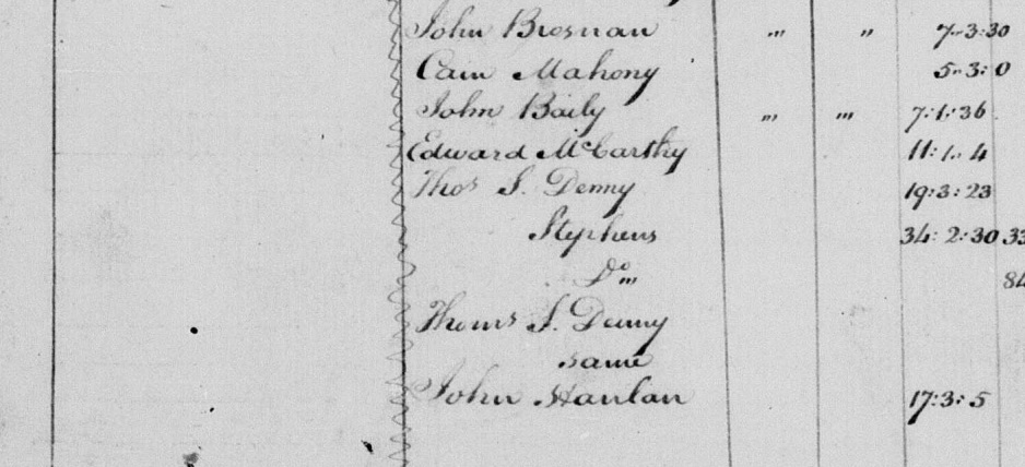
Tonavane townland in
[Tithe Survey, 1824].
From here.
Please donate to support this site.
I have spent a great deal of time and money on this research.
Research involves travel and many expenses.
Some research "things to do"
are not done for years, because I do not have the money to do them.
Please Donate Here
to support the ongoing research and
to keep this website free.